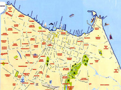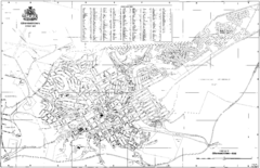
Grahamstown Street Map
Street map of Grahamstown, South Africa. Home of Rhodes University.
2339 miles away
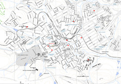
Grahamstown Map
Street map of Grahamstown
2340 miles away
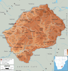
Lesotho physical Map
2343 miles away
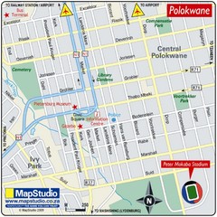
Peter Mokaba Stadium, Polokwane, South Africa Map
Location Map for Peter Mokaba Stadium, Polokwane, Limpopo Province, South Africa. Venue for 2010...
2345 miles away
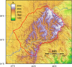
Lesotho topo Map
2347 miles away
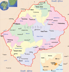
Lesotho Map
Cities, roads, provinces and borders are labeled on this map.
2348 miles away
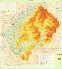
Lesotho Physical Map
Physical map of Lesotho. Shaded by elevation.
2348 miles away
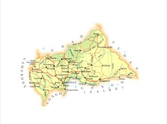
Central African Republic Map
2349 miles away
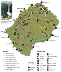
Lesotho tourism routes Map
2351 miles away

Tiffindell Ski Trail Map
Trail map from Tiffindell.
2352 miles away
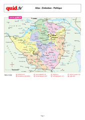
Zimbabwe Regional Map
Country map with detail of regional divides
2360 miles away
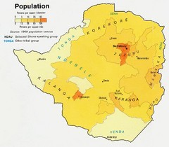
South Rhodesia Population Map
This map marks the distribution of population within South Rhodesia.
2361 miles away
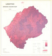
Lesotho Erosion Hazard Map
Guide to erosion in Lesotho
2363 miles away
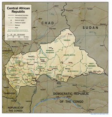
Central African Republic Map
Guide to Central African Republic
2368 miles away
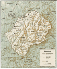
Lesotho Map
Guide to the African country of Lesotho
2370 miles away
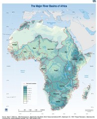
Africa River Basin Map
Guide to the major river basins of Africa
2371 miles away
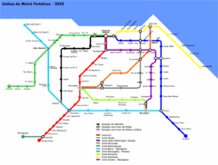
Fortaleza Metro Map
Map of metro transit throughout city
2389 miles away
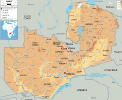
Zambia physical Map
2407 miles away
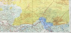
Lake Chad and Eastern Niger Physical Map
Physical map covers Lake Chad and East Niger. Shows roads and topography. Portion of Sheet 13...
2409 miles away
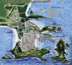
Arraial do Cabo Tourist Map
Tourist map of Arraial do Cabo, Brazil. Approx. 150 km from Rio de Janeiro. Hand-drawn panorama...
2411 miles away
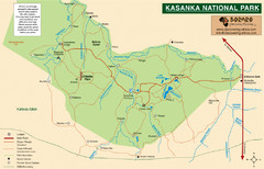
Kasanka National Park Map
2416 miles away
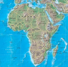
Physical Africa Map
2416 miles away
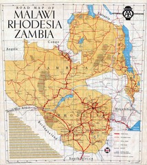
Malawi, Rhodesia and Zambia Road Map
Road map to the southern countries of Africa
2419 miles away
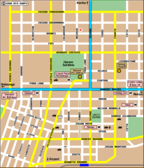
Harare City Tourist Map
Map of city center with detail of street names and hotels
2431 miles away

Lake Chad water levels Map
2438 miles away
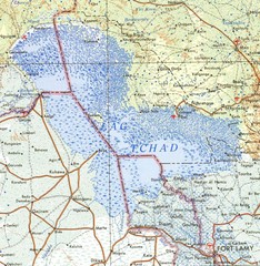
Niger Lake Chad Map
2441 miles away
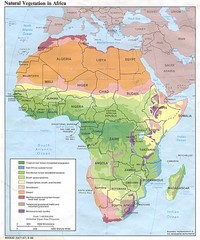
Africa Natural Vegetation Map
Map of natural vegetation throughout Africa
2445 miles away

Mauritania road Map
2445 miles away

Mauritania topography Map
2448 miles away
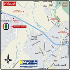
Mbombela Stadium, Nelspruit, South Africa Map
Location Map for Mbombela Stadium (near Nelspruit), Mpumalanga Province, South Africa. Venue for...
2450 miles away
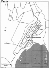
Praia City Map
City map of central Praia, Cape Verde Islands
2458 miles away

Maio Map
2462 miles away

Niger Map
2467 miles away

Kruger National Park Map
2468 miles away

