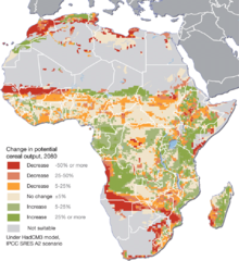
Projected climate change impacts for agriculture...
Africa is one of the regions that will be hit the hardest by climate change, and it will likely...
2104 miles away
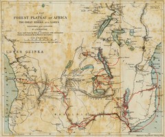
Forest Plateau of Africa Map
A historical Map of the Forest Plateau of Africa. Includes rivers, lakes, cities, and the route of...
2104 miles away
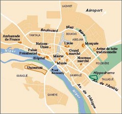
Niamey City Map
Simple map of this small city in Niger.
2107 miles away
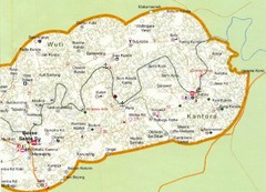
Gambia 6 Map
2110 miles away
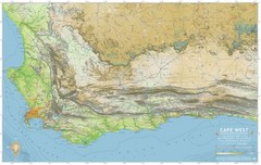
Cape West Map
A relief map of Cape Town's environs
2116 miles away
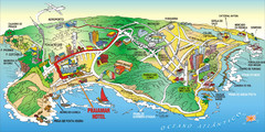
Praia de Ponta Negra, Natal, RN Map
2117 miles away
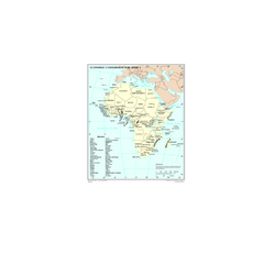
Economic Commission for Africa Map
Map of Economic Commission for Africa with detail of member-countries
2121 miles away
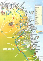
Coast line - Rio Grande do Norte Map
2121 miles away
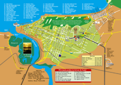
Natal Tourist Map
Tourist map of city of Natal, Brazil. Shows streets, hotels, and main points of interest.
2122 miles away

Kafue National park north Map
2122 miles away
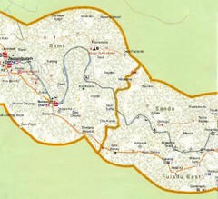
Gambia 5 Map
2124 miles away
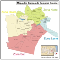
Campina Grande Neighborhood Map
Shows neighborhoods (bairros) of city of Campina Grande, Brazil. Campina Grande is the 2nd most...
2130 miles away
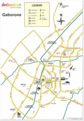
Gaborone City Map
Map and legend marking sites in this most populated city of Botswana.
2130 miles away
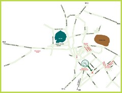
Kimberley Tourist Map
Simplified tourist map of Kimberley, South Africa. Shows major landmarks.
2131 miles away
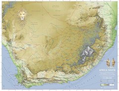
Africa South Map
A relief map of South Africa et ses environs
2131 miles away

89 Map
Tourist map of Gaborone, Botswana. Shows major streets and points of interest.
2135 miles away
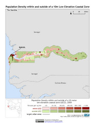
The Gambia 10m LECZ and Population Density Map
Populaton Density within and outside of a 10 meter Low Elevation Coastal Zone
2137 miles away
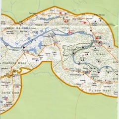
Gambia 4 Map
2143 miles away
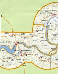
Gambia 3 Map
2144 miles away
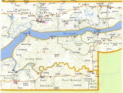
Gambia 2 Map
2149 miles away
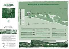
Wilderness National Park Map
2156 miles away
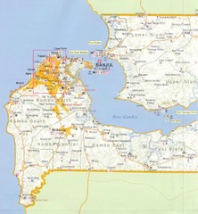
Gambia 1 Map
2159 miles away
Botswana map
2166 miles away
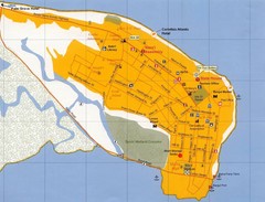
Banjul Street Map
Streets and points of interest are clearly marked on this map.
2166 miles away
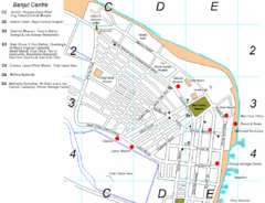
Banjul Gambia City Center Tourist Map
Tourist map of Banjul, Gambia showing tourist sites, streets and places of interest.
2167 miles away
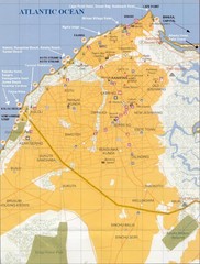
Serrekunda Resort Map
2168 miles away
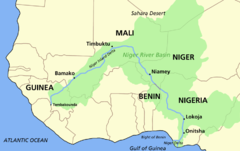
Niger river basin Map
2173 miles away
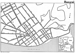
Bangui Road Map
Road map of Bangui city in the Central African Republic.
2176 miles away
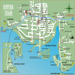
Knysna Town Map
Town map of Knysna, South Africa
2181 miles away
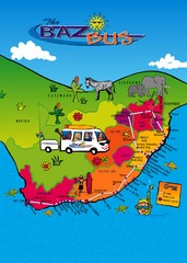
Baz Bus Map
Covering the entire East Coast of South Africa including: The Garden Route, Swaziland, Drakensberg...
2189 miles away

Mali topography Map
2200 miles away
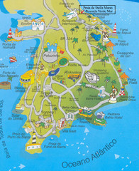
Salvador Tourism Map
2206 miles away

Tsitsikamma National Park Map
2209 miles away
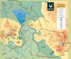
Camdeboo National Park Map
2209 miles away

Mali Political Map
2210 miles away
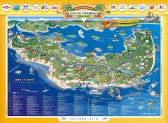
Ilha de Itaparica Tourist Map
Tourist map of Ilha de Itaparica, Brazil. In Portuguese.
2218 miles away
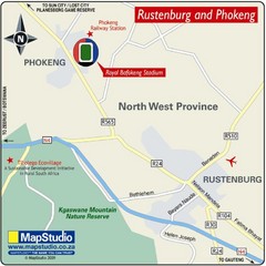
Royal Bafokeng Stadium, Phokeng, South Africa Map
Regional Location Map for Royal Bafokeng Sports Palace, Phokeng (near Rustenburg), North-West...
2219 miles away
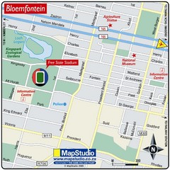
Free State Stadium, Bloemfontein, South Africa Map
Location Map of Free State Stadium, Bloemfontein, Free State Province, South Africa. Venue for 2010...
2222 miles away
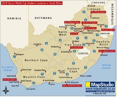
2010 Soccer World Cup Stadiums Location in South...
Host cities location with main road routes.
2223 miles away
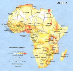
Africa Population Map
Map of population densities throughout Africa
2223 miles away

