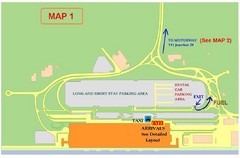
Tenerife Airport Map
3130 miles away
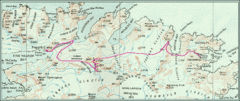
South Georgia Island Shackleton Route 1916 Map
Detailed view of South Georgia Island showing explorer Shackleton's 1916 overland route for...
3130 miles away

Mississippi Airports Map
3130 miles away
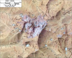
Mt. Kenya Topo Map
Topographical map of Mt. Kenya, the second highest mountain in Africa at 17058 ft
3131 miles away
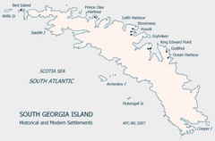
South Georgia Island Settlement Map
Shows historical and modern settlements on South Georgia Island
3137 miles away
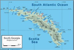
South Georgia and the South Sandwich Islands Map
Guide to the South Georgia and South Sandwich Islands, a British overseas territory and penguin...
3139 miles away
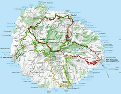
La Gomera Island Map
Tourist map of La Gomera showing beaches, roads, towns, elevations, ports and airports.
3144 miles away
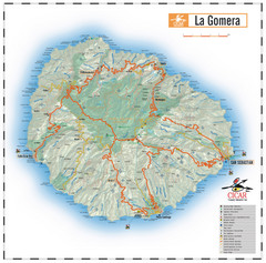
La Gomera Island Map
Map of the island of Gomera in the Canary Islands
3145 miles away
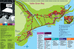
Valle Gran Rey Gomera Tourist Map
Tourist map of Valle Gran Rey, Gomera showing shopping, bars and restaurants, services and...
3145 miles away
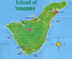
Tenerife Tourist Map
Tourist Map of Tenerife with cities, roads, lodgings and tourist sites marked.
3146 miles away
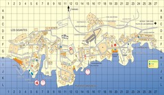
Los Gigantes Tourist Map
Tourist map of Los Gigantes, Tenerife. Shows properties for rent and points of interest.
3147 miles away
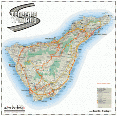
Tenerife Road Map
Detailed road map of Tenerife. Shows parks, peaks, and beaches
3147 miles away
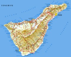
Tenerife Map
Map of Tenerife Island in the Canary Islands showing roads, towns and mountains.
3147 miles away

Puerto Del Carmen - Street map
3150 miles away
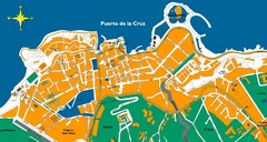
Puerto de la Cruz Tenerife Map
Street level map of Puerto de la Cruz, Tenerife showing a few tourist sites.
3154 miles away
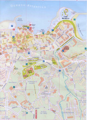
Puerto de la Cruz Tourist Map
3154 miles away
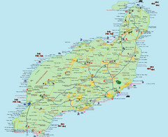
Lanzarote Tourist Map
Tourist map of Lanzarote, Canary Islands, Spain.
3157 miles away
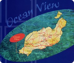
Lanzarote Map
Island road map of Lanzarote
3157 miles away
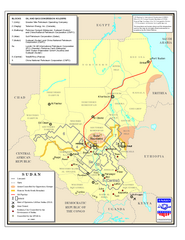
Sudan Oil and Gas Map
Map of Sudan's oil and gas concession holders
3163 miles away
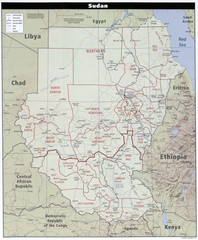
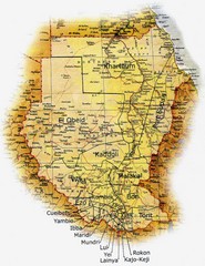
Sudan Map
Clear map of this amazing African nation.
3163 miles away
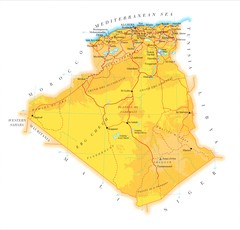
Algeria phydical Map
3163 miles away
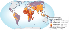
World map of World Bank country income groups
The World Bank has grouped countries based on the average income. These groupings are frequently...
3164 miles away
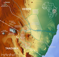
Tsavo National Park Map
3167 miles away
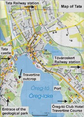
Tata Tourist Map
Areas surrounding Oreg Lake near Budapest
3167 miles away
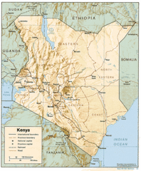
Kenya Tourist Map
3172 miles away
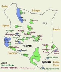
Kenya Tourist Map
3172 miles away
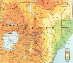
Kenya Map
Physical map of Kenya. Shading based on elevation.
3172 miles away
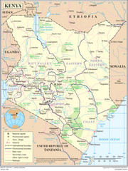
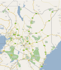
Kenya Overview Map
Overview map of Kenya. Shows major cities, roads, and national parks.
3172 miles away

World Climate Map
World Climates after Köppen-Geiger - 21st Century
3181 miles away
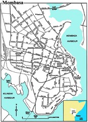
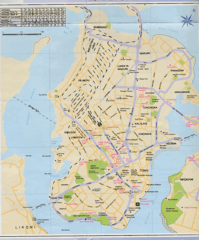
Mombasa City Map
Simple and clear map of this Kenyan city.
3188 miles away
Mombasa City Map
3189 miles away
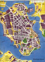
Mombasa City Map
City street map of Mombasa Island, Kenya
3189 miles away

Early East and Central Africa Map - Slug Map
Sketch of a Map from 1 & deg;N. to 15 & deg;S. Latitude and from 23 & deg; to 43 &...
3190 miles away
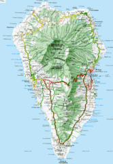
La Palma Physical Map
Physical map of island of La Palma. Shaded relief.
3193 miles away

La Palma Island Map
3194 miles away

