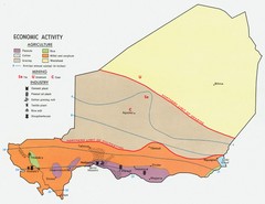
Niger 1969 Economic Activity Map
Guide to the economic activity of Niger in 1969
2523 miles away
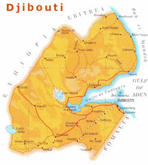
Djibouti, Africa Map
2524 miles away
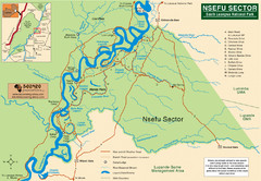
Nsfeu Sector South Luangwa National Park Map
2530 miles away

Niger population density Map
2534 miles away
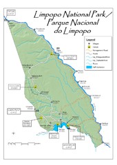
Limpopo National Park Map
2536 miles away
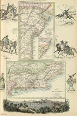
Middle Provinces of Brazil Map 1872
Map of province east coast of Brazil (Bahia) and province of Rio de Janeiro, Brazil 1872
2536 miles away
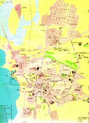
Bujumbura City Map
2537 miles away

Cape Verde, Africa District Map
2540 miles away
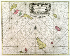
Historical Cape Verde, Africa Map
2540 miles away

Cape Verde, Africa Map
2540 miles away

Cape Verde, Africa Map
2540 miles away

Cape Verde, Africa Map
2540 miles away
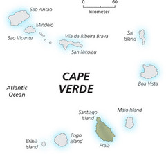
Cape Verde Island Map
This map clearly labels each island of Cape Verde.
2540 miles away
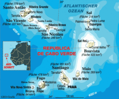
Cape Verde Map
Clear map of these small African islands.
2540 miles away
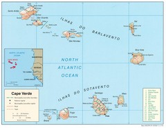
Cape Verde Islands Map
Shaded relief map of Cape Verde Islands in the mid-Atlantic
2540 miles away

Sal Map
2549 miles away
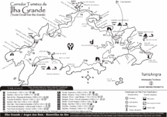
Ilha Grande Tourist Map
Tourist map of island
2553 miles away
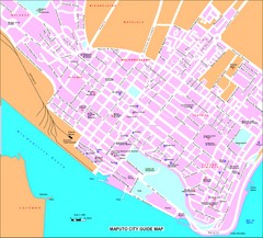
Maputo City Map
City map of Maputo with tourist attractions
2554 miles away
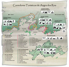
Angra dos Reis Tourist Map
Tourist map of region
2558 miles away
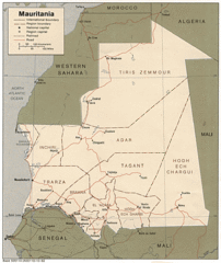
Mauritania Map
Guide to the African country of Mauritania
2561 miles away
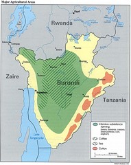
Burundi Agricultural Map
Map of Burundi's major agricultural areas
2569 miles away
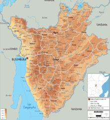
Burundi Physical Map
2571 miles away
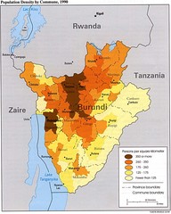
Burundi Population Density Map
Map of Burundi's population density by commune
2573 miles away
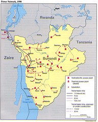
Burundi Power Plant Map
Map marking hydroelectric and thermal power plants, plus transmission lines.
2573 miles away
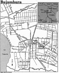
Burundi City Map
Simple city map labeling road systems.
2573 miles away
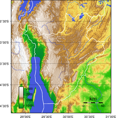
Burundi Topography Map
Color-coded physical relief map of country of Burundi
2575 miles away
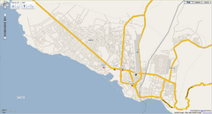
Goma, Congo street map
Street map of eastern Congo–Kinshasha city of Gome, near the Rwanda border. Produced by...
2576 miles away
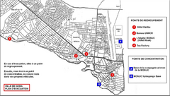
City of Goma Evacuation Plan, late 2007 Map
Map of Goma indicating evacuation points for Congolese government push against rebel groups (mostly...
2576 miles away
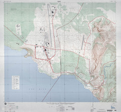
Goma Map
Goma, Democratic Republic of the Congo • original scale 1:7,500, Edition 3-DMA, Series Z091.
2576 miles away
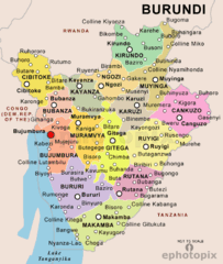
Burundi Political Map
2579 miles away

Sao Nicolau Map
2581 miles away
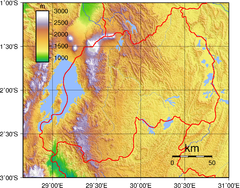
Rwanda Topography Map
2585 miles away
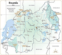
Rwanda Parks and Rainforest Map
2606 miles away
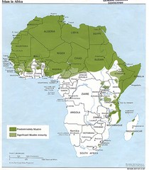
Islam in Africa Map
Map of Islamic population densities throughout Africa
2606 miles away
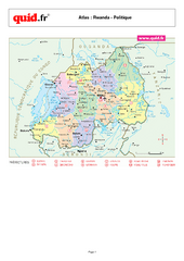
Rwanda Regional Map
Map of Rwanda with detail of regional divides
2609 miles away
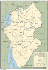
Rwanda and Burundi Guide Map
2619 miles away
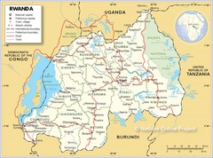
Rwanda Road Map
2622 miles away

