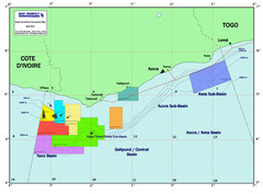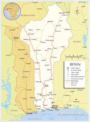
Benin Tourist Map
597 miles away
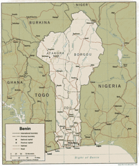
Benine Map
Map and legend clearly marking railroads, roads and borders.
597 miles away
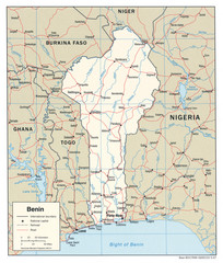
Benin Political Map
597 miles away

Togo Topography Map
600 miles away
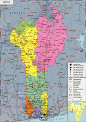
Benin Political Map
607 miles away
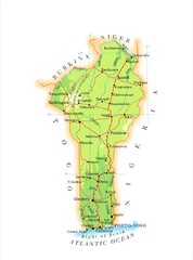
Benin Map
610 miles away
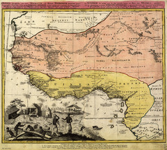
Erben’s Map of Western Africa (1743)
Homann Erben's map of the "Barbary Coast" of Western Africa in 1743.
611 miles away
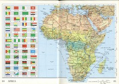
Africa Flag Map
Physical map of Africa with flag legend for all countries. Scanned.
614 miles away
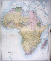
Africa Map 1885
Shows Africa with pre-colonial boundaries demarcated at the Berlin Conference of 1885.
614 miles away
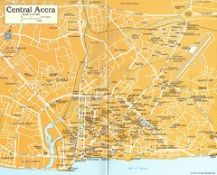
Central Accra Tourist Map
Tourist map of Accra, Ghana showing hotels, embassies, airline offices and neighborhoods.
632 miles away
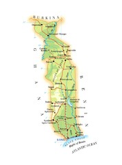
Togo Major Roads Map
633 miles away
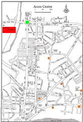
Accra Ghana Map
City center map of Accra, Ghana with tourist attractions identified on the map with street level...
640 miles away
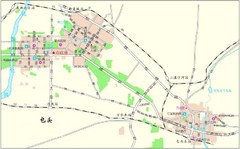
Boutou Tourist Map
Locations in Boutou, Benin
643 miles away
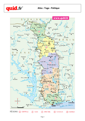
Togo Regional Map
Map of country with detail of regional divides
649 miles away
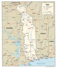
Togo Political Map
649 miles away
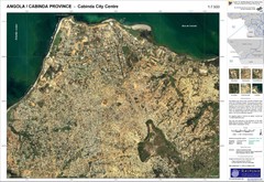
Cabinda City Map
Topo city map of central Cabinda, Angola. Shows points of interest.
669 miles away
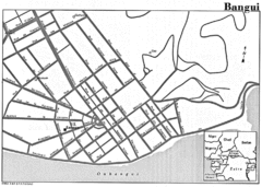
Bangui Road Map
Road map of Bangui city in the Central African Republic.
683 miles away
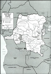
Republic of the Congo 1964 Military Map
Map of the military situation with a hostage crisis in 17 July 1964. Map shows rebel forces and...
698 miles away
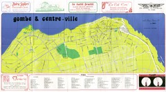
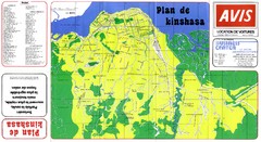
Kinshasa Gombe and Centreville Tourist Map
Tourist map of Gombe and Centreville in Kinshasa. Shows streets and points of interest. In French...
704 miles away
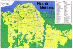
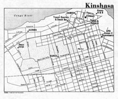
Kinshasa Overview Map
Overview map of Kinshasa, Democratic Republic of Congo shows major streets.
707 miles away
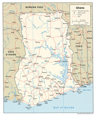
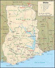
Ghana Political Map
739 miles away
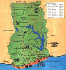
Ghana Tourist Map
Tourist map of Ghana with roads, distances and some tourist sites identified.
739 miles away

African Gold Group Masno Atwere Concession Map
African Gold Group is pleased to report the assay results for five trenches, located within the...
739 miles away
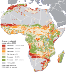
Projected climate change impacts for agriculture...
Africa is one of the regions that will be hit the hardest by climate change, and it will likely...
743 miles away

Volta River Basin Map
745 miles away
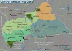
Central African Republic Regions Map
746 miles away
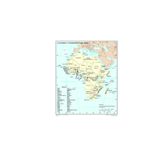
Economic Commission for Africa Map
Map of Economic Commission for Africa with detail of member-countries
753 miles away

Ghana topographical Map
758 miles away

Ghana relief Map
759 miles away

Ghana Political Map
768 miles away

Lake Chad water levels Map
775 miles away
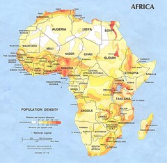
Africa Population Map
Map of population densities throughout Africa
781 miles away
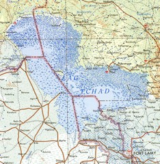
Niger Lake Chad Map
791 miles away
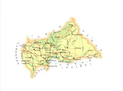
Central African Republic Map
794 miles away
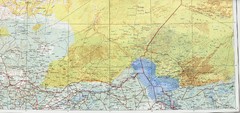
Lake Chad and Eastern Niger Physical Map
Physical map covers Lake Chad and East Niger. Shows roads and topography. Portion of Sheet 13...
807 miles away

