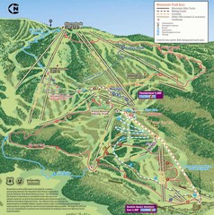
Steamboat Springs Bike Trail Map
Bike trail for Steamboat Springs mountain bike trail.
165 miles away
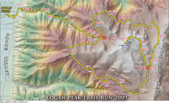
Logan Peak Trail Run Map 2009
Trail run map of the Logan Peak Trail Run 2009 course.
165 miles away
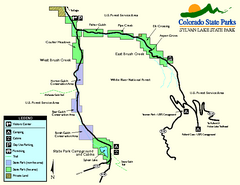
Sylvan Lake State Park Map
Map of park with detail of recreation zones and campgrounds
166 miles away
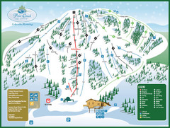
Pine Creek Ski Area Ski Trail Map
Trail map from Pine Creek Ski Area.
166 miles away
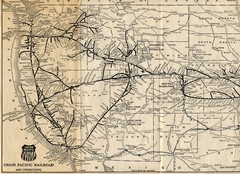
1925 Union Pacific Railroad Map Part 1
Guide to the Union Pacific railroad lines across the western half of the United States
166 miles away
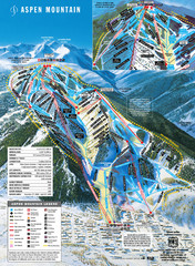
Aspen Mountain Ski Trail Map
Trail map from Aspen Mountain, which provides downhill skiing. It has 8 lifts servicing 76 runs...
166 miles away
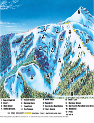
Crested Butte Mountain Resort Teocalli Bowl Ski...
Trail map from Crested Butte Mountain Resort, which provides downhill, nordic, and terrain park...
166 miles away
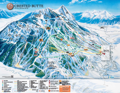
Crested Butte Mountain Resort Ski Trail Map
Trail map from Crested Butte Mountain Resort, which provides downhill, nordic, and terrain park...
166 miles away
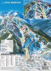
Aspen Mountain Ski Trail Map
Official ski trail map of Aspen ski area from the 2007-2008 season.
166 miles away
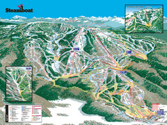
Steamboat Ski Resort Ski Trail Map
Trail map from Steamboat Ski Resort, which provides downhill and terrain park skiing. It has 18...
166 miles away
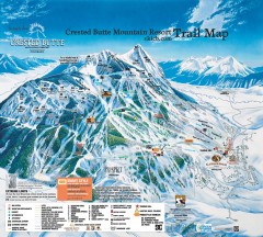
Crested Butte Mountain Resort Ski Trail Map
Official trail map of Crested Butte Mountain Resort, 2006-07 season.
166 miles away
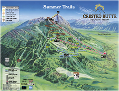
Crested Butte Mountain Resort Summer Trail Map
Official Crested Butte Mountain Resort summer trail map. Created by James Niehues.
166 miles away
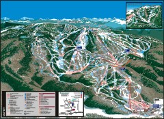
Steamboat Ski Area Ski trail map
Official ski trail map of Steamboat ski area in Steamboat Springs, CO from the 2006-2007 season...
167 miles away
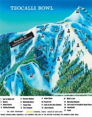
Crested Butte Mountain Resort Ski map - Teocalli...
Inset of the official Crested Butte trail map showing the experts-only Teocalli Bowl.
167 miles away

Aspen, Colorado by Carvedmaps.com Map
Aspen, Colorado with surrounding ski area. Carved of wood by carvedmaps.com - Tom Justin artist
168 miles away
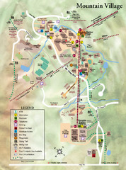
Mountain Village Tourist Map
Tourist map of Mountain Village, Colorado at the Telluride Ski Area.
168 miles away
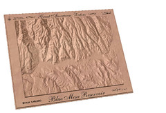
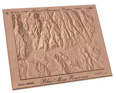
Blue Mesa Reservoir by Carvedmaps.com Map
Blue Mesa Reservoir carved by carvedmaps.com - Tom Justin artist
168 miles away
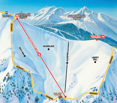
Telluride Revelation Bowl Ski Trail Map
Trail map from Telluride, which provides downhill, nordic, and terrain park skiing. It has 18 lifts...
169 miles away
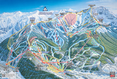
Telluride Ski Trail Map
Trail map from Telluride, which provides downhill, nordic, and terrain park skiing. It has 18 lifts...
169 miles away
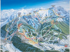
Telluride ski trail map
Official ski trail map of Telluride ski area from the 2006-2007 season.
169 miles away
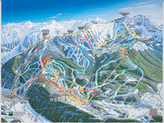
Telluride, Colorado Trail Map
169 miles away
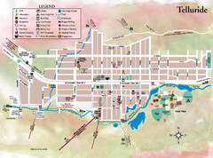
Telluride Town Map
170 miles away
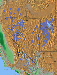
Pleisocene Lakes of western U.S. Map
171 miles away
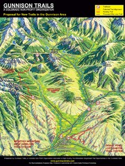
Gunnison Proposed Trails Map
Shows proposed trails from Gunnison, Colorado to Crested Butte, Colorado
172 miles away
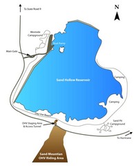
Sand Hollow State Park Map
With its warm, blue waters and red sandstone landscape, Utah's newest state park is also one...
173 miles away
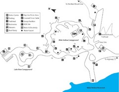
Escalante Petrified Forest State Park Map
Escalante Petrified Forest State Park is located in beautiful southern Utah, just 44 miles east of...
173 miles away

Beaver Mountain Ski Area Ski Trail Map
Trail map from Beaver Mountain Ski Area.
173 miles away

Eagle River Valley Resort Maps Map
Resort Maps of Eagle River Valley is the most popular and widely distributed map of Minturn, Red...
175 miles away
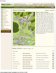
Beaver Creek Map
Beaver Creek Map, Beaver Creek Shopping Map, Beaver Creek Lodging Map, Activities, Restaurants...
175 miles away
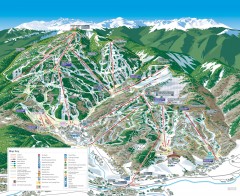
Beaver Creek Ski Trail Map
Official ski trail map of Beaver Creek ski area from the 2007-2008 season. Map also includes...
176 miles away
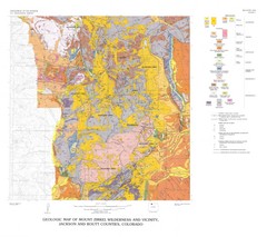
Mount Zirkel Wilderness and Vicinity Geologic Map
Geologic Map of Mount Zirkel Wilderness
176 miles away
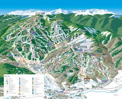
Beaver Creek Resort Ski Trail Map
Trail map from Beaver Creek Resort, which provides downhill and terrain park skiing. It has 16...
176 miles away
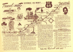
Route 66 Stops Between Shamrock, Texas and Los...
Route 66 Landmarks
177 miles away
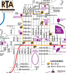
Gunnison RTA Bus Route Map
178 miles away
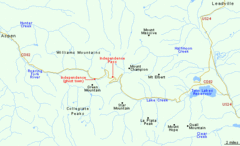
Independence Pass Area, Colorado Map
Basic map of the Independence Pass area near Aspen, Colorado. Independence Pass is the highest...
180 miles away
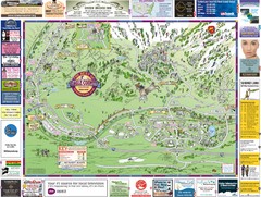
Minturn Map
181 miles away
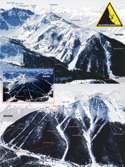
Silverton Ski Trail Map
Ski trail map of Silverton Mountain in Silverton, Colorado. Lift-serviced backcountry conditions...
181 miles away
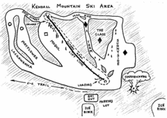
Kendall Mountain Ski Trail Map
Trail map from Kendall Mountain, which provides downhill and nordic skiing. It has 1 lift servicing...
182 miles away
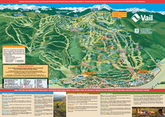
Vail Mountain resort Summer Adventure Map
Map of all hiking and mountain biking trails maintained by Vail Mountain Resort
183 miles away

