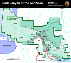
Black Canyon of the Gunnison National Park Map
Official NPS map of Black Canyon of the Gunnison in Colorado. Shows all areas including the South...
146 miles away
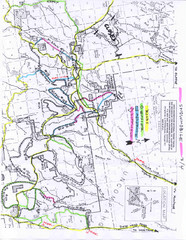
Uncompahgre National Forest Map
National Forest in Western Colorado
147 miles away
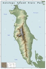
Antelope Island State Park Map
Shaded relief map of Antelope Island State Park, Utah. Shows facilities, peaks, and springs...
147 miles away

Wolf Mountain Ski Trail Map
Trail map from Wolf Mountain.
148 miles away
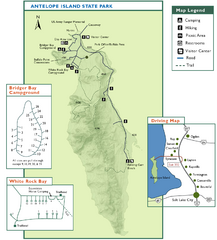
Antelope Island State Park Map
Trail map of Antelope Island State Park in the Great Salt Lake, Utah. Shows campgrounds.
148 miles away
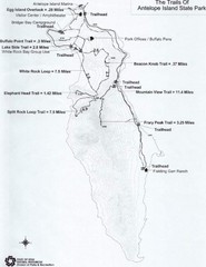
Antelope Island State Park Map
Antelope Island State Park, the largest island in the Great Salt Lake, is home to a roaming herd of...
149 miles away
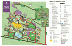
Weber State University Map
Weber State University Campus Map. All buildings shown.
149 miles away
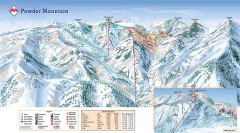
Powder Mountain Ski Trail Map
Official ski trail map of Powder Mountain ski area from the 2007-2008 season.
149 miles away
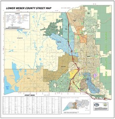
Lower Weber County Street Map
Street map for area around Ogden, UT
150 miles away

Utah mountain resorts Map
151 miles away
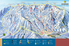
Snowbasin Mountain Trail Map
Ski trail map of Snowbasin Mountain
151 miles away
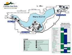
Ridgway State Park Map
Map of park with detail of recreation zones
158 miles away
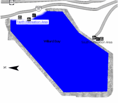
Willard Bay State Park Map
Boat, swim, waterski, and fish on the warm waters of Willard Bay. Camp under tall cottonwood trees...
158 miles away
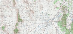
Delta Quad Sheet Detail 1972 Map
159 miles away
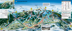
Snowmass Ski Trail Map
Trail map from Snowmass, which provides downhill and terrain park skiing. It has 24 lifts servicing...
159 miles away
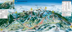
Snowmass Ski Trail Map
Official ski trail map of Snowmass ski area from the 2007-2008 season.
159 miles away
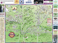
Resort Maps of Eagle River Valley Map
Resort Maps of Eagle River Valley is the most popular and widely distributed map of Minturn, Red...
159 miles away
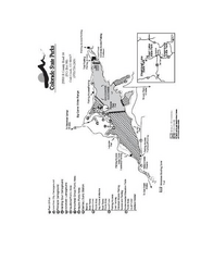
Stagecoach State Park Map
Map of park with detail of campgrounds and recreation zones
159 miles away
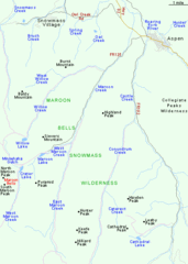
Maroon Bells Area Map
Basic Map of Watershed and Trails around Maroon Bells.
160 miles away
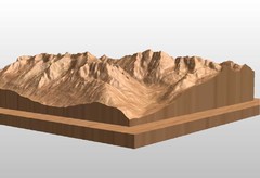
Map carved of the Maroon Bells
CarvedMaps.com can carve any area within the United States. This carving is of the Maroon Bells...
160 miles away
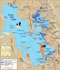
Great Salt Lake Map
160 miles away
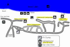
Rendezvous Beach Map
Bear Lake State Park is nestled high in the Rocky Mountains on the Utah-Idaho border. The cool...
161 miles away
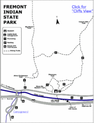
Fremont Indian State Park Map
Discover artifacts, petroglyphs, and pictographs left behind by the Fremont Indians. During...
161 miles away
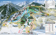
Buttermilk Ski Trail Map
Official ski trail map of Buttermilk ski area from the 2007-2008 season.
163 miles away
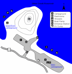
Otter Creek Reservoir Map
This quiet getaway is a great destination for ATV riders, boaters, and birders. Access three ATV...
163 miles away
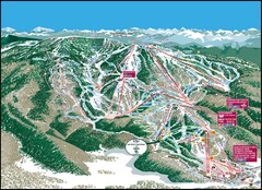
Steamboat Springs Mountain Map
163 miles away
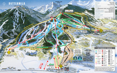
Buttermilk Mountain Ski Trail Map
Trail map from Buttermilk Mountain, which provides downhill and terrain park skiing. It has 7 lifts...
163 miles away
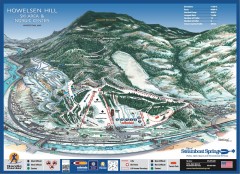
Howelsen Hill Ski Trail Map
Official map of Howelsen Hill ski area in Steamboat, CO. Map shows both downhill and nordic trails...
163 miles away
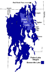
Lake Bonneville Levels Map
163 miles away
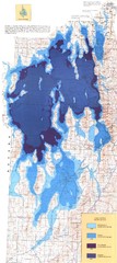
Ancient Lake Bonneville Map
163 miles away
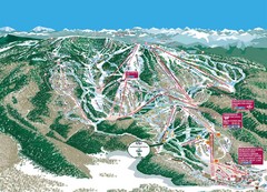
Steamboat Trail Map
Ski trail map
164 miles away
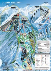
Aspen Highlands Ski Trail Map
Official ski trail map of Aspen Highlands ski area from the 2007-2008 season.
164 miles away
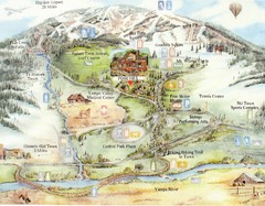
Steamboat Springs Map
A fun map marking points of interest and more.
164 miles away
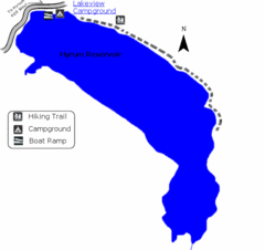
Hyrum State Park Map
Tucked away in Cache County, Hyrum State Park offers many recreation opportunities including...
164 miles away
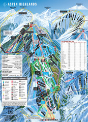
Aspen Highlands Ski Trail Map
Trail map from Aspen Highlands, which provides downhill skiing. It has 5 lifts servicing 125 runs...
164 miles away
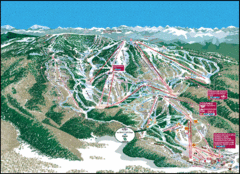
Steamboat Springs Trail Map
Guide to trails in Steamboat Springs Ski Resort, Colorado
164 miles away
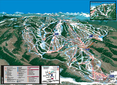
Steamboat Trail Map
164 miles away
Steamboat Lake State Park Map
Map of park with detail of recreation zones
164 miles away
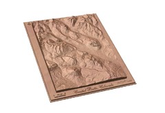
Carved Wooden Map of Crested Butte, Colorado by...
Crested Butte, CO Carved by CarvedMaps.com
165 miles away


