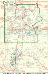
1929 Yellowstone and Grand Teton National Parks...
Map of older smaller boundaries of both national parks
315 miles away
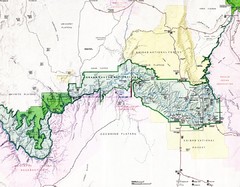
Grand Canyon Map
Guide to the Grand Canyon National Park
316 miles away
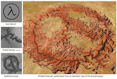
Rendered Terrain of the Grand Canyon Map
Created from Digital Elevation Models
318 miles away

Sangre de Cristo Mountain Trail Map
Ski trail map of one of the Sangre de Cristo mountains
318 miles away
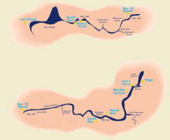
Grand Canyon River Rafting Map
Guide to the Colorado River, Grand Canyon river rafting
319 miles away
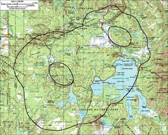
Yellowstone Lake Topographic Map
Topographic guide to Yellowstone Lake in Yellowstone National Park
320 miles away
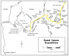
Grand Canyon River Expedition Map
Guide to the Colorado River, rapids and washes
320 miles away
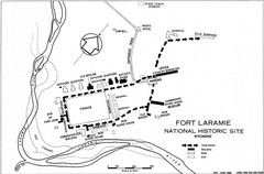
Fort Laramie Guide Map
A layout of the National Historic site Fort Laramie in Wyoming.
321 miles away
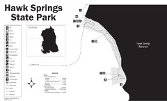
Hawk Springs State Park Map
Hawk Springs Recreation Area has activities for everyone to enjoy: boating, waterskiing, fishing...
322 miles away
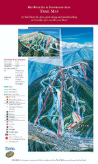
Red River Ski Area Ski Trail Map
Trail map from Red River Ski Area.
322 miles away
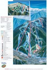
Red River Ski Trail Map
Official ski trail map of Red River ski area
323 miles away
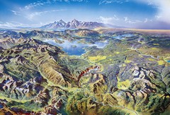
Yellowstone oblique Map
Oblique Panorama map of Yellowstone National Park
323 miles away
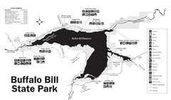
Buffalo Bill State Park Map
323 miles away
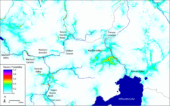
Bison Travel in Yellowstone National Park Map
General bison travel in Yellowstone National Forest, Wyoming
325 miles away
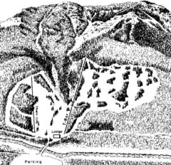
Sleeping Giant Ski Area Ski Trail Map
Trail map from Sleeping Giant Ski Area.
326 miles away
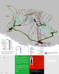
Taos Ski Valley Ski Trail Map
Trail map from Taos Ski Valley.
326 miles away
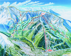
Taos Ski Area Ski Trail map 2006-07
Ski trail map of Taos ski area for the 2006-2007 season. A James Niehues creation.
327 miles away
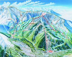
Taos Ski Valley Trail map
Official ski map of Taos Ski Valley. 12 lifts servicing 1,294 acres.
327 miles away
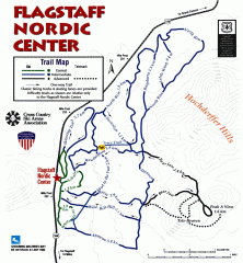
Flagstaff Nordic Center Trail Map
Official ski trail map of Flagstaff Nordic Center
327 miles away
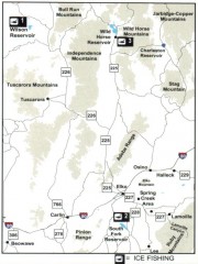
Icefishing Map, Elko County, Nevada
Map of ice fishing locations in Elko County, NV. Shows reservoirs, roads and towns.
327 miles away
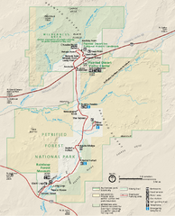
Petrified Forest National Park Official Park Map
Official NPS map of Petrified Forest National Park in Arizona. Open year round except Christmas...
327 miles away
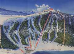
Big Horn Ski Resort Ski Trail Map
Trail map from Big Horn Ski Resort.
328 miles away

Arizona Snowbowl Ski Trail Map
Official ski trail map of Arizona Snowbowl ski area
328 miles away
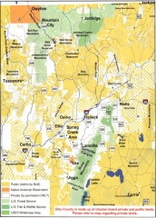
Land Use Map of Elko County, Nevada
Land use map of Elko County, Nevada. Shows lands classified as public or private, and owners of...
329 miles away
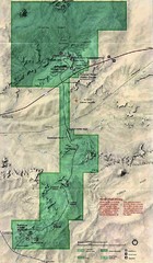
Petrified Forest National Park Map
Petrified Forest National Park Map with trails, vistiors centers and park area marked.
329 miles away
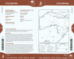
Little Elden Trail Map
Guide to Little Elden Trail near Flagstaff, AZ
330 miles away
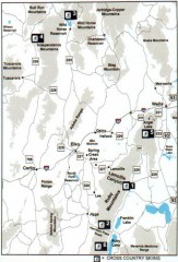
Cross-country Skiing, Elko County, Nevada Map
Map of cross-country skiing opportunities in Elko County, Nevada. Shows skiing locations, roads...
330 miles away
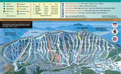
Pajarito Mountain Ski Trail Map
Trail map from Pajarito Mountain.
330 miles away
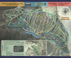
Pojarito Mountain bike Trail Map
Bike trail for Pojarito Mountain, New Mexico
330 miles away
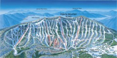
Pajarito Ski Trail Map
Official ski trail map of Pajarito ski area from the 2007-2008 season.
330 miles away
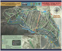
Pajarito Mountain Summer Bike Hike Trail Map
Pajarito Ski Area offers summer bike and hike lift service weekends. When lifts are not running...
330 miles away
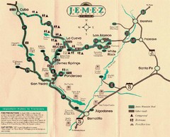
Jemez Mountains, New Mexico Tourist Map
332 miles away
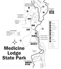
Medicine Lodge State Park Map
The Medicine Lodge site has long been known for its Indian petroglyphs and pictographs, but not...
333 miles away
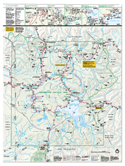
Yellowstone National Park official map
Official NPS map of Yellowstone National Park. Detail map of park with shaded relief. Established...
333 miles away
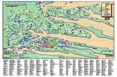
Los Alamos Street map
Los Alamos, New Mexico street and point of interest map. Mesas are colored green.
333 miles away
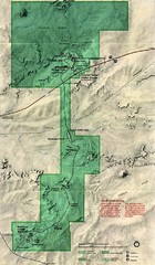
Petrified Forest Map
Map of the Petrified Forest, Painted Desert and Rainbow Forest. Shows all roads, tourist...
333 miles away
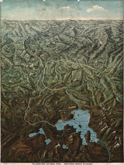
Fee’s map of Yellowstone National Park...
Charles S. Fee's map of Yellowstone in 1895.
334 miles away
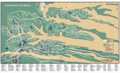
Los Alamos, New Mexico City Map
334 miles away

Snowmobiling Map, Elko County, Nevada
Map of snowmobiling opportunities in Elko County, Nevada. Snowmobiling areas, roads, and towns are...
335 miles away
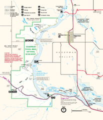
Hagerman Fossil Beds National Monument Map
Official map of Hagerman Fossil Beds National Monument in Hagerman, Idaho
335 miles away

