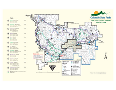
Golden Gate Canyon State Park Map
Map of park with detail of trails
191 miles away
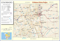
Colorado Cities Map
194 miles away
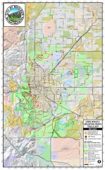
Boulder Open Space and Mountain Park Trail Map
Shows all trails in Open Spaces and Mountain Parks around Boulder, CO
194 miles away
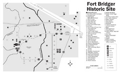
Fort Bridger State Historic Site Map
Established by Jim Bridger and Louis Vasquez in 1843 as an emigrant supply stop along the Oregon...
195 miles away
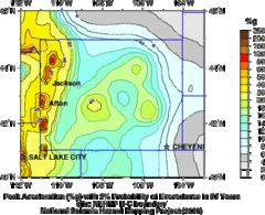
Seismic Hazard Map of Wyoming
Seismic Hazard map of probable earthquake activity for Wyoming.
195 miles away
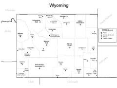
Wyoming Airports Map
195 miles away
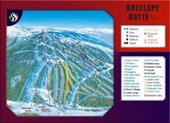
Antelope Butte Ski Area Ski Trail Map
Trail map from Antelope Butte Ski Area.
195 miles away
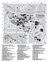
University of Colorado at Boulder Map
University of Colorado at Boulder Campus Map. All buildings shown.
195 miles away

HOP Route Map
Map of HOP bus route throughout Boulder
195 miles away
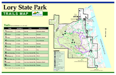
Lory State Park Trail Map
Map of park with detail of hiking trails
195 miles away

Boysen State Park Map
195 miles away
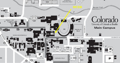
University of Colorado at Boulder Campus Map
195 miles away
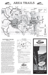
Eldorado Canyon State Park Map
Map of park with detail of trails and recreation zones
196 miles away
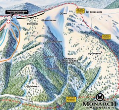
Monarch Ski & Snowboard Area Mirkwood at Monarch...
Trail map from Monarch Ski & Snowboard Area, which provides downhill and terrain park skiing. It...
196 miles away
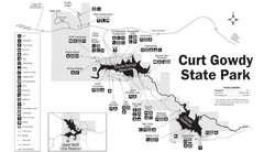
Curt Gowdy State Park Map
Curt Gowdy is a recreation area with three reservoirs. It's great for fishing, camping, water...
197 miles away
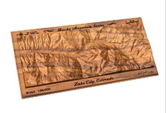
Lake City, CO carved by carvedmaps.com Map
Lake City, CO map carved by carvedmaps.com
198 miles away
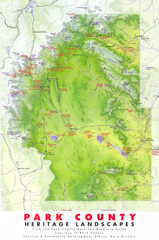
Park County Heritage Map
Shaded relief map of Park County, Colorado shows heritage landscapes, mountains, and
198 miles away
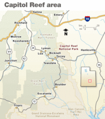
Capitol Reef National Park Map
Clear map marking major highways and cities.
200 miles away
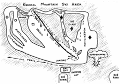
Kendall Mountain Ski Trail Map
Trail map from Kendall Mountain, which provides downhill and nordic skiing. It has 1 lift servicing...
200 miles away
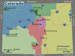
Colorado Region Map
200 miles away
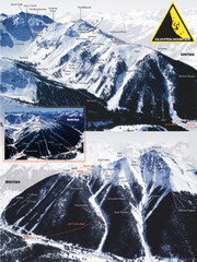
Silverton Ski Trail Map
Ski trail map of Silverton Mountain in Silverton, Colorado. Lift-serviced backcountry conditions...
200 miles away
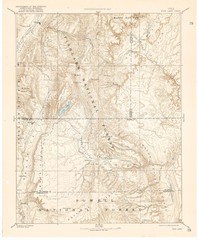
Topo Map of Capitol Reef Region (Fish Lake Quad...
This is one of four USGS maps done by the Powell survey and depicting the area around Capitol Reef...
201 miles away
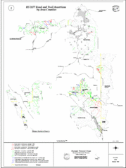
Caribou-Targhee Park map
201 miles away

Fort Collins, Colorado City Map
201 miles away

Golden Spike National Monument Map
201 miles away
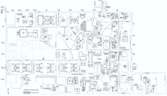
Colorado State University Map
Campus Map of Colorado State University. All area's shown.
202 miles away
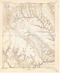
Topo Map of Escalante Quadrant, UT circa 1886
One of four USGS maps detailing the area around Capitol Reef National Park and Glen Canyon circa...
202 miles away
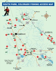
South Park,Colorado Fishing Map
202 miles away
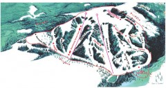
Hogadon Ski Area Trail Map
Ski trail map of Hogadon ski area, located on Casper Mountain
203 miles away
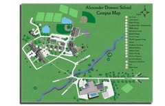
Alexander Dawson School Map
Campus map
203 miles away
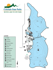
Boyd Lake State Park Map
Map of park with detail of recreation ares
203 miles away
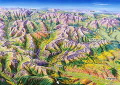
Ouray, Colorado area map
Regional artistic aerial view of the Ouray area and surrounding San Juan Mountains. Shows...
204 miles away
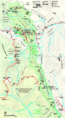
Capitol Reef National Park Official Map
Official NPS map of Capitol Reef National Park in Utah. Map shows all areas. The park and...
204 miles away
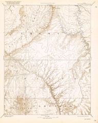
Topo Map of San Rafael Quadrant circa 1885
This is one of four USGS maps from the 1880's and 90's depicting the area around the...
205 miles away
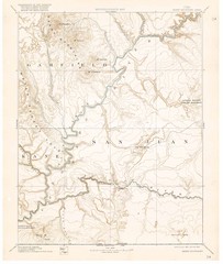
Henry Mtns Topo Map, circa 1892
One of a set of four maps circa 1890s by USGS depicting the area around the Henry Mtns and Capitol...
205 miles away
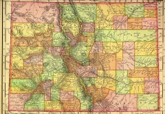
Colorado State map 1895
Map of the state of Colorado, 1895. Shows counties and major topography.
208 miles away
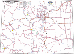
Colorado Highways Map
Road map of highways in state of Colorado
208 miles away
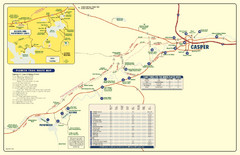
Casper, Wyoming City Map
208 miles away
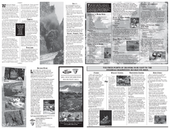
Arkansas Headwaters Recreation Area Map
Map of recreation area with detail of various recreation zones and lakes
208 miles away

