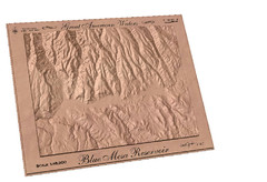
Blue Mesa Reservoir by Carvedmaps.com Map
Blue Mesa Reservoir carved by carvedmaps.com - Tom Justin artist
171 miles away
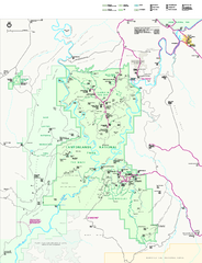
Canyonlands National Park Official Park Map
Official NPS map of Canyonlands National Park. Located in Utah. Map shows all areas but does not...
171 miles away

Winter Park Trail Map
171 miles away

Winter Park Trail Map
Ski trail map
171 miles away
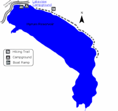
Hyrum State Park Map
Tucked away in Cache County, Hyrum State Park offers many recreation opportunities including...
171 miles away
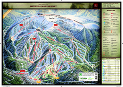
Winter Park Resort Ski Trail Map
Trail map from Winter Park Resort, which provides downhill and terrain park skiing. It has 25 lifts...
171 miles away
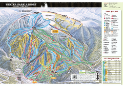
Winter Park Resort Ski Trail Map 2006-07
Official ski trail map of Winter Park for the 2006-2007 season.
172 miles away
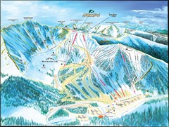
Arapahoe Basin Frontside Ski Trail Map
Trail map from Arapahoe Basin, which provides terrain park skiing. It has 7 lifts servicing 105...
172 miles away
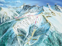
Arapahoe Basin Montezuma Bowl Ski Trail Map
Trail map from Arapahoe Basin, which provides terrain park skiing. It has 7 lifts servicing 105...
172 miles away

Arapahoe Basin Trail Map
Ski trail map
172 miles away
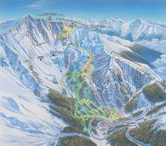
Arapahoe Basin Ski Trail map
Official ski trail map of Arapahoe Basin ski area from the 2006-2007 season. Look for 400 acre...
172 miles away
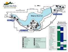
Ridgway State Park Map
Map of park with detail of recreation zones
172 miles away
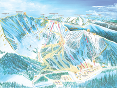
Arapahoe Basin Ski Trail Map 2007
Ski trail map of Arapahoe Basin ski area
172 miles away
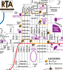
Gunnison RTA Bus Route Map
173 miles away
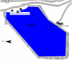
Willard Bay State Park Map
Boat, swim, waterski, and fish on the warm waters of Willard Bay. Camp under tall cottonwood trees...
174 miles away

Montezuma Bowl Trail Map
174 miles away
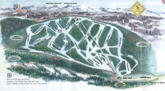
White Pine Ski Area Ski Trail Map
Trail map from White Pine Ski Area.
175 miles away
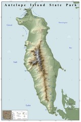
Antelope Island State Park Map
Shaded relief map of Antelope Island State Park, Utah. Shows facilities, peaks, and springs...
175 miles away
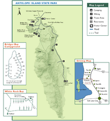
Antelope Island State Park Map
Trail map of Antelope Island State Park in the Great Salt Lake, Utah. Shows campgrounds.
175 miles away
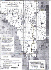
Montpelier Ranger District East Map
Map for Summer Encampment trip to Montpelier, Wyoming for Idaho Company, American Long Rifle...
176 miles away
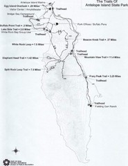
Antelope Island State Park Map
Antelope Island State Park, the largest island in the Great Salt Lake, is home to a roaming herd of...
176 miles away
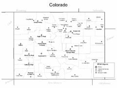
Colorado Airport Map
179 miles away
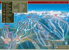
Eldora Mountain Ski trail Map
Official ski trail map of Eldora Mountain Resort ski area.
180 miles away
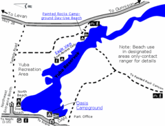
Yuba State Park Map
The sprawling waters of Yuba State Park provide a variety of recreation opportunities for visitors...
180 miles away
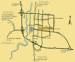
Laramie City Map
City map of Laramie, Wyoming with University of Wyoming highlighted.
182 miles away

Mt. Evans Road Wildflower Viewing Map
Shows wildflower viewing area at Mt. Goliath and Mt. Evans along Mt. Evans Road in Colorado. "...
184 miles away
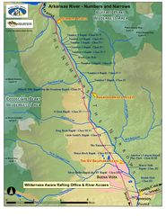
Arkansas River Numbers and Narrows Rafting Map
Rafting map of the Numbers and Narrows rapids sections of the Arkansas River near Buena Vista...
185 miles away
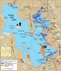
Great Salt Lake Map
185 miles away

Mt. Evans Contour Map
Guide to the area around Mt. Evans, near Denver, CO
185 miles away
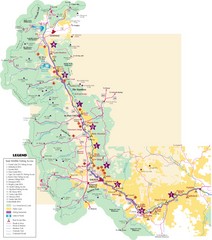
Central Colorado Fishing Guide Map
188 miles away
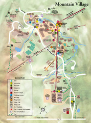
Mountain Village Tourist Map
Tourist map of Mountain Village, Colorado at the Telluride Ski Area.
188 miles away
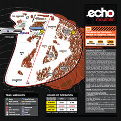
Echo Mountain Park Ski Trail Map
Trail map from Echo Mountain Park, which provides downhill, night, and terrain park skiing. It has...
189 miles away
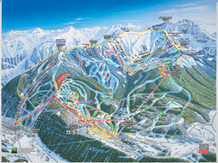
Telluride, Colorado Trail Map
189 miles away
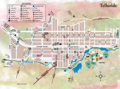
Telluride Town Map
189 miles away
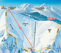
Telluride Revelation Bowl Ski Trail Map
Trail map from Telluride, which provides downhill, nordic, and terrain park skiing. It has 18 lifts...
189 miles away
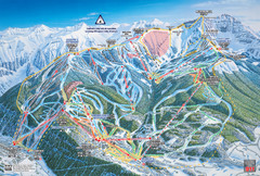
Telluride Ski Trail Map
Trail map from Telluride, which provides downhill, nordic, and terrain park skiing. It has 18 lifts...
189 miles away
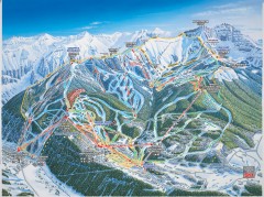
Telluride ski trail map
Official ski trail map of Telluride ski area from the 2006-2007 season.
189 miles away
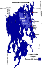
Lake Bonneville Levels Map
190 miles away
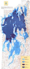
Ancient Lake Bonneville Map
190 miles away

