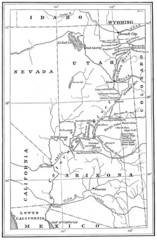
1914 Grand Canyon & Colorado River Map
Historic map of the Colorado River, from Wyoming to Mexico
159 miles away
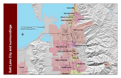
Salt Lake City and Surrounding Area Map
Cities and streets identified along with mountain range elevation.
159 miles away
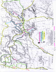
Uncompahgre National Forest Map
National Forest in Western Colorado
160 miles away
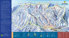
Snowbasin Ski Trail Map
Official ski trail map of ski area from the 2007-2008 season.
161 miles away
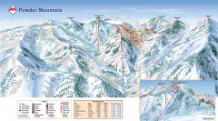
Powder Mountain Ski Trail Map
Official ski trail map of Powder Mountain ski area from the 2007-2008 season.
161 miles away
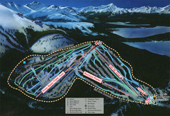
Ski Cooper Ski Trail Map
Trail map from Ski Cooper, which provides downhill and nordic skiing. It has 4 lifts servicing 26...
161 miles away

Snowbasin Nordic Trail Map
Nordic trail map of Snowbasin resort, Utah
161 miles away
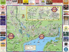
Summit County Resort Maps Map
Resort Maps of Summit County is the most widely distributed map in Frisco, Copper Mountain...
162 miles away
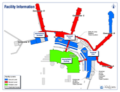
Salt Lake City International Airport Terminal Map
Official Terminal Map of Salt Lake City International Airport. Shows all terminals and facilities.
162 miles away
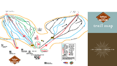
SolVista Basin at Granby Ranch Ski Trail Map
Trail map from SolVista Basin at Granby Ranch, which provides downhill and terrain park skiing. It...
162 miles away
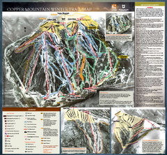
Copper Mountain Resort Ski Trail Map
Trail map from Copper Mountain Resort, which provides downhill and terrain park skiing. It has 21...
162 miles away

Copper Mountain Ski Trail map 2006-07
Official ski trail map of Copper ski area for the 2006-2007 season. This map shows the Front Side...
163 miles away

Wolf Mountain Ski Trail Map
Trail map from Wolf Mountain.
163 miles away
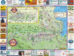
Frisco, CO Resort Map
Resort Maps of Summit County is the most widely distributed map in Frisco, Copper Mountain...
163 miles away
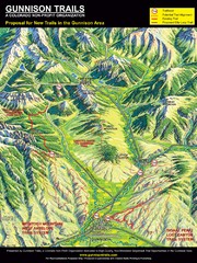
Gunnison Proposed Trails Map
Shows proposed trails from Gunnison, Colorado to Crested Butte, Colorado
164 miles away
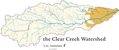
Clear Creek Watershed Map
164 miles away
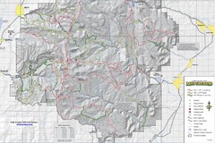
Utha Arapeen OHV Trail System- South Map
Utah Arapeen OHV Trail System map. Located near the towns of Fairview, Ephraim, and Manti, Utah.
165 miles away
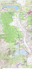
Leadville 100 Mountain Bike Race Map 2008
Race course for the 2008 Leadville 100 mountain bike race. Covers 100 miles.
165 miles away

Utah mountain resorts Map
165 miles away
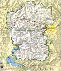
Rocky Mountain National Park Map
Rocky Mountain National Park Map and surrounding National Forests of Arapaho and Roosevelt.
166 miles away
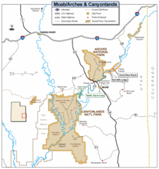
Canyonlands National Park Map
Clear map and key marking cities, rivers, highways and points of interest.
166 miles away
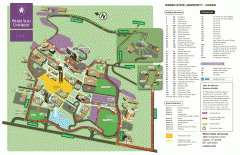
Weber State University Map
Weber State University Campus Map. All buildings shown.
167 miles away
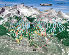
Breckenridge Ski Resort Ski Trail Map
Trail map from Breckenridge Ski Resort, which provides downhill, nordic, and terrain park skiing...
167 miles away
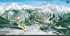
Breckenridge Ski Area Trail Map 2005-06
Official ski trail map of Breckenridge, 2005-06 season
168 miles away
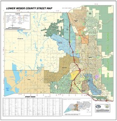
Lower Weber County Street Map
Street map for area around Ogden, UT
168 miles away
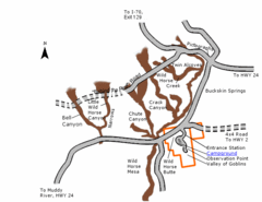
Goblin Valley State Park Map
The vast landscape of sandstone goblins may have visitors wondering if they're in Mars or Utah...
168 miles away
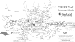
Breckenridge Town Map
168 miles away
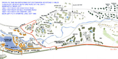
Keystone, Colorado Map
Areas around Keystone resort in Colorado
169 miles away

Beaver Mountain Ski Area Ski Trail Map
Trail map from Beaver Mountain Ski Area.
169 miles away
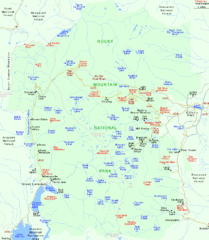
Rocky Mountain National Park Tourist Map
170 miles away
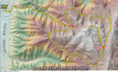
Logan Peak Trail Run Map 2009
Trail run map of the Logan Peak Trail Run 2009 course.
170 miles away

Loveland Trail Map
Ski Trail Map
170 miles away
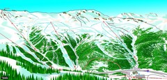
Loveland North View Ski Trail Map
Trail map from Loveland, which provides downhill, nordic, and terrain park skiing. It has 10 lifts...
170 miles away
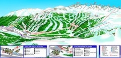
Loveland South View Ski Trail Map
Trail map from Loveland, which provides downhill, nordic, and terrain park skiing. It has 10 lifts...
170 miles away
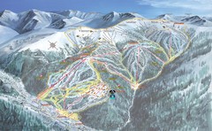
Keystone Resort Ski Trail Map
Trail map from Keystone Resort, which provides downhill, night, and terrain park skiing. It has 20...
170 miles away
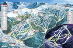
Keystone Ski Trail map 2006-07
Official ski trail map of Keystone ski area from the 2006-2007 season.
170 miles away
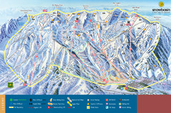
Snowbasin Mountain Trail Map
Ski trail map of Snowbasin Mountain
171 miles away
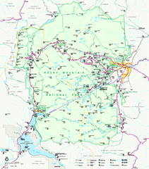
Rocky Mountain National Park Official Map
Rocky Mountain National Park Official Map. Shows all roads, trails, rivers, and mountain summits.
171 miles away


