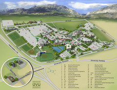
Utah Valley University Map
Campus map
147 miles away
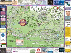
Minturn Map
147 miles away
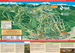
Vail Mountain resort Summer Adventure Map
Map of all hiking and mountain biking trails maintained by Vail Mountain Resort
147 miles away
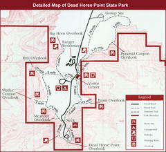
Dead Horse Point State Park Map
147 miles away
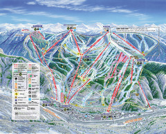
Vail Map
Map of Vail with ski locations and lifts included
147 miles away
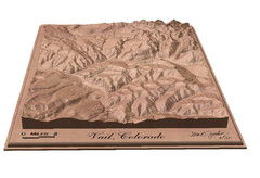
Vail, Colorado carved by carvedmaps.com Map
147 miles away
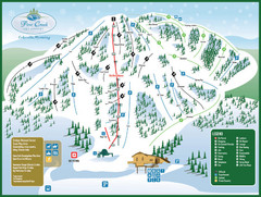
Pine Creek Ski Area Ski Trail Map
Trail map from Pine Creek Ski Area.
148 miles away
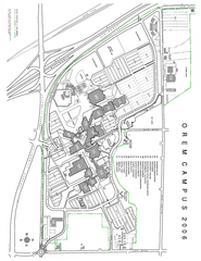
Utah Valley State University Map
Utah Valley State University. All areas shown.
148 miles away
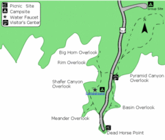
Dead Horse Point State Park Map
Stroll along the Rim Walk, towering 2,000 feet directly above the Colorado River. The mesa that is...
148 miles away
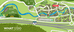
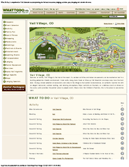
Vail Village Map
148 miles away
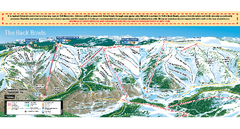
Vail Ski Trail map 2006-07
Ski trail map of Vail ski area for the 2006-2007 season. Shows all 3 sides of Vail: 1) Back Bowls...
149 miles away
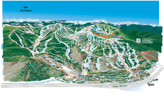
Vail Ski Trail Map
Trail map from Vail, which provides downhill and terrain park skiing. It has 32 lifts servicing 193...
149 miles away
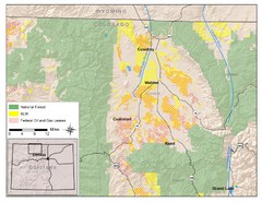
North Park Colorado Map
150 miles away
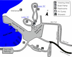
Utah Lake State Park Map
Utah's largest freshwater lake provides fishing access for channel catfish, walleye, white...
150 miles away

Wasatch Front Watershed Map
151 miles away
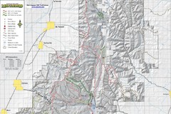
Utah Arapeen OHV Trail System- North Map
The Utah Arapeen OHV Trail System located in near the Towns of Fairview, Ephraim, and Mant, Utah.
151 miles away
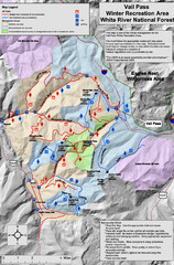
Vail Pass Area Recreation map
Recreation map of the area south of Vail Pass, Colorado. Shows trails and management areas.
151 miles away
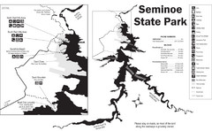
Seminoe State Park Map
Seminoe State Park offers excellent fishing, boating and wildlife-viewing opportunities.
152 miles away
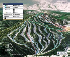
Snowy Range Ski Trail Map
Trail map from Snowy Range.
153 miles away

Snowbird Trail Map
Ski trail map
153 miles away
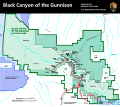
Black Canyon of the Gunnison National Park Map
Official NPS map of Black Canyon of the Gunnison in Colorado. Shows all areas including the South...
153 miles away
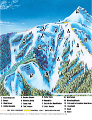
Crested Butte Mountain Resort Teocalli Bowl Ski...
Trail map from Crested Butte Mountain Resort, which provides downhill, nordic, and terrain park...
154 miles away
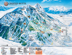
Crested Butte Mountain Resort Ski Trail Map
Trail map from Crested Butte Mountain Resort, which provides downhill, nordic, and terrain park...
154 miles away
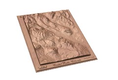
Carved Wooden Map of Crested Butte, Colorado by...
Crested Butte, CO Carved by CarvedMaps.com
154 miles away
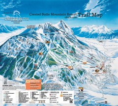
Crested Butte Mountain Resort Ski Trail Map
Official trail map of Crested Butte Mountain Resort, 2006-07 season.
154 miles away
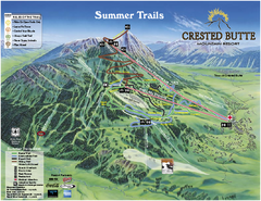
Crested Butte Mountain Resort Summer Trail Map
Official Crested Butte Mountain Resort summer trail map. Created by James Niehues.
154 miles away
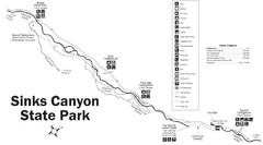
Sinks Canyon State Park Map
Sinks Canyon State Park offers hiking trails, abundant wildlife viewing, bird-watching, fishing...
155 miles away
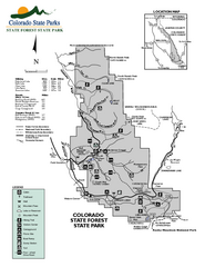
State Forest State Park Map
Map of park with detail of trails and recreation zones
155 miles away
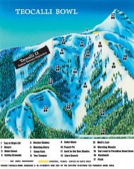
Crested Butte Mountain Resort Ski map - Teocalli...
Inset of the official Crested Butte trail map showing the experts-only Teocalli Bowl.
155 miles away
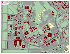
University of Utah Map
155 miles away
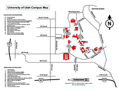
University of Utah Map
University of Utah Campus Map. All buildings shown.
156 miles away
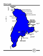
Utah Lake Map
156 miles away
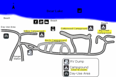
Rendezvous Beach Map
Bear Lake State Park is nestled high in the Rocky Mountains on the Utah-Idaho border. The cool...
156 miles away
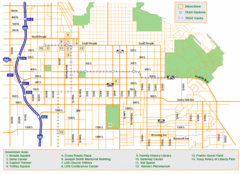
Downtown Salt Lake City Map
Street map of downtown Salt Lake City
157 miles away
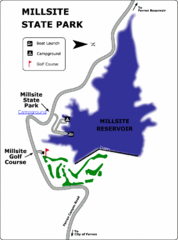
Millsite State Park Map
Camp in the quiet campground, and boat and fish on the blue waters of Millsite Reservoir. Play 18...
157 miles away
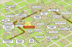
Salt Lake City Tourist Map
Tourist map of Salt Lake City, Utah. Shows points of interest.
157 miles away

Jordan River Parkway Map
159 miles away
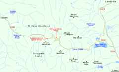
Independence Pass Area, Colorado Map
Basic map of the Independence Pass area near Aspen, Colorado. Independence Pass is the highest...
159 miles away

