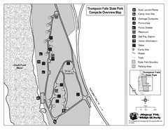
Thompson Falls State Park Map
This shaded, quiet campground is located on the Clark Fork River near the town of Thompson Falls in...
584 miles away
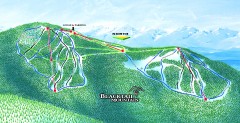
Blacktail Mountain Ski Trail Map
Official ski trail map of Blacktail Mountain ski area. See Blacktail's site for trailnames.
584 miles away
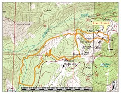
Sky Tavern XC Route Map
Topo map of the XC course for the cycling event.
584 miles away
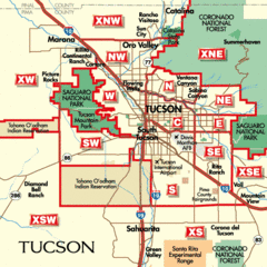
Tucson, Arizona City Map
585 miles away
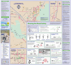
Tuscon Metro Bike Map (Back)
585 miles away
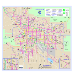
Tucson Metro Bike Map
Bike route map of the city of Tucson, Arizona.
585 miles away
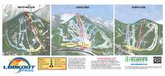
Lookout Pass Ski Trail Map
Official ski trail map of Lookout Pass ski area from the 2007-2008 season. Shows Montana, Idaho...
586 miles away
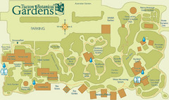
Tucson Botanical Gardens Map
Very nice botanical garden with great native plant sales.
586 miles away
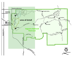
Saguaro National Park Map - Rincon District
Park map of Saguaro National Park East, the Rincon District
586 miles away
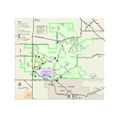
Saguaro National Park Official Park Map
Official NPS map of Saguaro National Park in Arizona. Map shows all areas. Both districts of the...
586 miles away
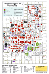
University of Arizona Campus Map
Campus map of the University of Arizona. All buildings shown.
586 miles away
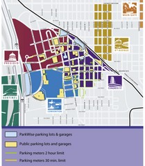
Tuscon Map
Parking garages, lots, and meters in Tuscon.
587 miles away
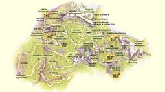
Arizona-Sonora Desert Museum Map
587 miles away
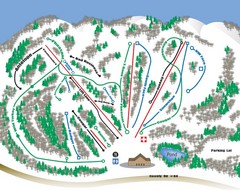
Huff Hills Ski Trail Map
Trail map from Huff Hills.
587 miles away
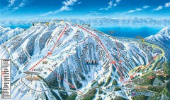
Mt. Rose Ski Trail Map
Official ski trail map of Mt. Rose ski area
588 miles away
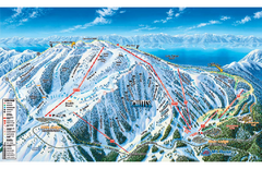
Mt. Rose Ski Tahoe Ski Trail Map
Trail map from Mt. Rose Ski Tahoe.
588 miles away
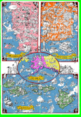
A MAD Pictorial Map of the United States - Back...
I found these raw assembled scans in a dieing torrent in 2010. Hash code...
590 miles away
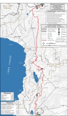
Tahoe Rim Trail: Tahoe Meadows to Spooner Summit...
Topographic hiking map of the Tahoe Meadows-Spooner Summit leg of the Tahoe Rim Trail. Shows bike...
590 miles away
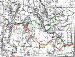
Oregon Trail Map
Old sketch map with modern cities, forts/ trading posts, and missions/churches superimposed. Shows...
590 miles away
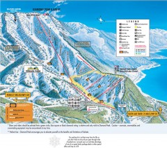
Diamond Peak Ski Trail Map
Official ski trail map of Diamond Peak ski area from the 2007-2008 season.
590 miles away
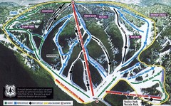
Bluewood Ski Trail Map
Trail map from Bluewood, which provides downhill, nordic, and terrain park skiing. It has 3 lifts...
591 miles away
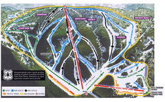
Bluewood Ski Trail Map
591 miles away
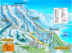
Diamond Peak Ski Trail Map
Trail map from Diamond Peak.
591 miles away
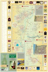
Oregon Winery Map / Local Side
591 miles away
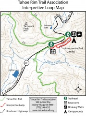
Tahoe Rim Trail: Interpretive Loop, Lake Tahoe...
Trail map of the Tahoe Rim Trail's Interpretive Loop Trail. Shows both trails, camping...
591 miles away
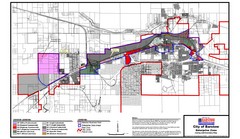
City of Barstow Zoning Map
Map illustrates the zoning and boundary areas of the city of Barstow.
592 miles away
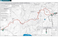
Tahoe Rim Trail: Brockway Summit to Tahoe Meadows...
Trail map of the Brockway Summit-Tahoe Meadows leg of the Tahoe Rim Trail. Bike trails, hiking...
592 miles away

Sierra High Route Map
Guide to the Sierra High Route, one of the most challenging treks in the Sierras
593 miles away
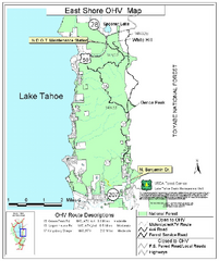
East Shore Lake Tahoe Off-highway Vehicle Map
Off-highway vehicle map of the East Shore of Lake Tahoe, California. Shows roads open to...
594 miles away
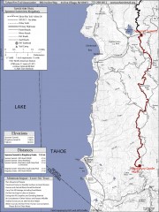
Tahoe Rim Trail: Spooner Summit to Kingsbury...
Topographic hiking map of the Spooner Summit-Kingsbury North leg of the Tahoe Rim Trail. Bike and...
594 miles away
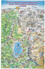
Reno and Lake Tahoe Area Golf map
Illustrated map showing all golf courses in the Reno/lake Tahoe area, 2006 version. To view more...
594 miles away

San Joaquin Valley Air Basin Map
This map is used to track air monitoring locations in periodic progress reports.
594 miles away
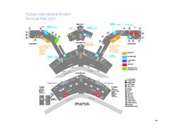
Tucson International Airport Terminal Map
Official Map of Tucson International Airport. Shows all terminals.
594 miles away
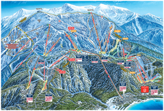
Heavenly Valley Ski Trail Map
Official ski trail map of Heavenly Valley ski area from the 2007-2008 season.
595 miles away
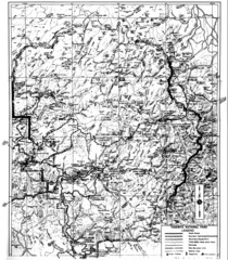
1931 Yosemite National Park Map
Yosemite National Park Map with trails and elevations
595 miles away
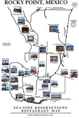
Rocky Point, New Mexico Restaurants Map
595 miles away
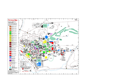
Washington State University Map
Washington State University Campus Map. All buildings shown.
595 miles away
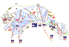
Heavenly Ski Resort Ski Trail Map
Trail map from Heavenly Ski Resort, which provides downhill, nordic, and terrain park skiing. It...
595 miles away

Pullman Parks Trail Map
Trails and pathways map
595 miles away
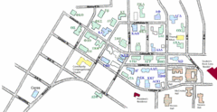
Washington State University's Greek Row Map
Map of WSU's fraternities and sororities
595 miles away

