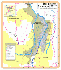
Hells Canyon National Recreation Area Map
Official Forest Service map of the Hells Canyon National Recreation Area. Shows roads, trails...
527 miles away
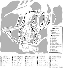
Teton Pass Ski Area Ski Trail Map
Trail map from Teton Pass Ski Area.
529 miles away
Ferguson Ridge Ski Trail Map
Trail map from Ferguson Ridge.
530 miles away
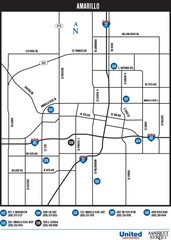
Amarillo Map
Map of main roads/highways in Amarillo
532 miles away

Attractions in Amarillo, Texas Map
Tourist map of Amarillo, Texas. Shows museums, sports facilities, and other attractions.
533 miles away
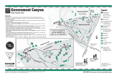
Government Canyon, Texas State Park Facility and...
534 miles away
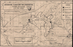
Aravaipa Canyon Map
Map of Aravaipa Canyon Wilderness
538 miles away
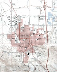
Baker City, Oregeon Tourist Map
540 miles away

Burning Map 2005 Map
Artistic representation of Burning Man's Black Rock City.
541 miles away
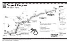
Caprock Canyon, Texas State Park Trail Map
541 miles away
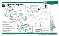
Caprock Canyon, Texas State Park Facility and...
541 miles away
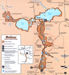
Malheur National Wildlife Refuge Map
Detailed Map of the Malheur Wildlife Refuge in Oregon showing places of interest, roads and...
543 miles away
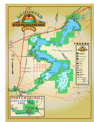
Lahontan State Recreation Area Map
Overview map of Lahontan State Recreation Area. Shows Lahontan Reservoir formed by Lahontan Dam...
548 miles away
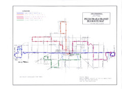
Pecos Trails Bus Route Map
550 miles away
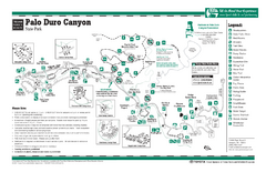
Palo Duro, Texas State Park Facility and Trail Map
553 miles away
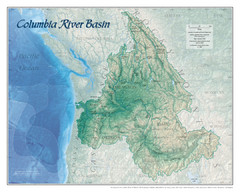
Columbia River Basin Map
554 miles away
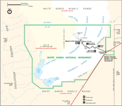
White Sands National Monument Map
555 miles away
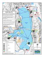
West Shore State Park Map
Glacially carved rock outcrops rise from Flathead Lake to overlooks with spectacular views of the...
558 miles away

California Agricultural Region Map
558 miles away
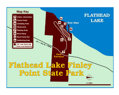
Finley Point State Park Map
This park is located in a secluded, mature pine forest near the south end of Flathead Lake. Enjoy...
563 miles away

Bodie State Park NE Map
Map of park with detail of trails and recreation zones
563 miles away

Bodie State Park NW Map
Map of park with detail of trails and recreation zones
563 miles away
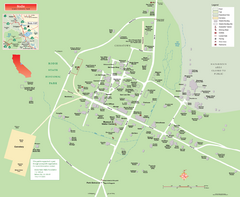
Bodie State Park Map
Map of park with detail of trails and recreation zones
563 miles away
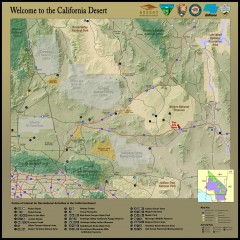
California Desert Recreation Map
Shows points of interest for recreational activities in the California desert
563 miles away

Bodie State Park SE Map
Map of park with detail of trails and recreation zones
564 miles away
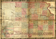
Kansas Railroad Map 1867
Here for your perusal is a sectional map of the state of Kansas showing the route of the Union...
564 miles away
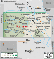
Kansas Elevations Map
564 miles away
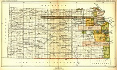
Kansas Native American Territories 1866-1867 Map
489., 492 Cherokee, 19 Jul 1866 (on Indian Territory Map 22, Kansas, Map 27) 495. Sauk and Fox of...
564 miles away
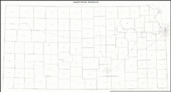
Kansas Zip Code Map
Check out this Zip code map and every other state and county zip code map zipcodeguy.com.
564 miles away
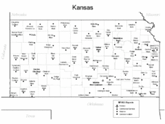
Kansas Airports Map
564 miles away

Bodie State Park SW Map
Map of park with detail of trails and recreation zones
564 miles away
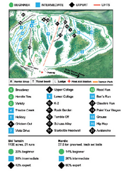
Anthony Lakes Mountain Resort Ski Trail Map
Trail map from Anthony Lakes Mountain Resort.
564 miles away
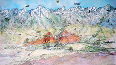
Lone Pine Map
Panorama tourist map of town of Lone Pine, California with surrounding area including the Alabama...
564 miles away
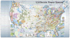
US Electric Power System Map
Map showing the US electric power system. from site: "shows power generation and transmission...
565 miles away
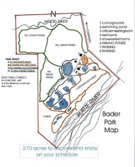
Bader Park Map
565 miles away
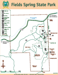
Fields Spring State Park Map
Map of park with detail of trails and recreation zones
565 miles away
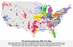
NFL Fan Bases Map
Shows US fan bases of NFL teams
565 miles away
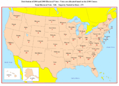
Electoral Votes by State Map
Electoral vote distribution by state
568 miles away
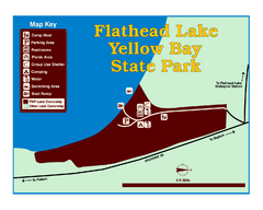
Yellow Bay State Park Map
Yellow Bay is in the heart of the famous Montana sweet cherry orchards, blossoms color the...
568 miles away

