
Timber Lakes Plat 6 Map
123 miles away

Timber Lakes Plat 5 Map
123 miles away

Timber Lakes Plat 7 Map
123 miles away

Timber Lakes Plat 11 Map
124 miles away

Timber Lakes Plat 9 Map
124 miles away
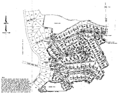
Timber Lakes Plat 8 Map
124 miles away
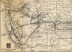
1925 Union Pacific Railroad Map Part 1
Guide to the Union Pacific railroad lines across the western half of the United States
124 miles away

Timber Lakes Plat 8 Map
124 miles away

Timber Lakes Plat 3 Map
124 miles away

Timber Lakes Plat 2 Map
125 miles away

Timber Lakes Plat 13 Map
125 miles away
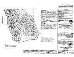
Timber Lakes Plat 12 Map
125 miles away
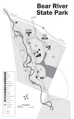
Bear River State Park Map
125 miles away

Timber Lakes Plat 14 Map
126 miles away
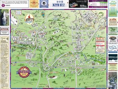
Resort Maps of Eagle River Valley Map
Resort Maps of Eagle River Valley is the most popular and widely distributed map of Minturn, Red...
126 miles away
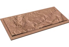
Gateway, Colorado carved by CarvedMaps.com Map
CarvedMaps.com carved this beautiful wood map of the Gateway area in SW Colorado. This company...
128 miles away
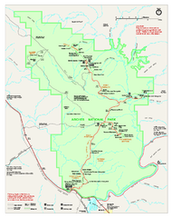
Arches National Park Official map
Official NPS park map of Arches National Park. Shows trails, roads, and all park facilities.
131 miles away

Arches National Park Map
131 miles away
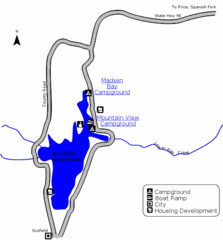
Scofield State Park Map
Camp, boat, and fish at this summer and winter recreation destination situated high in the Manti...
131 miles away
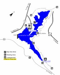
Jordanelle State Park Map
Jordanelle State Park is located in a picturesque mountain setting near Heber City. The park offers...
131 miles away
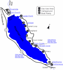
Rockport State Park Map
Find first-rate, year-round recreation at this northern Utah destination. During summer, fish, boat...
132 miles away

Heber City General Plan map
132 miles away

Heber City Zoning Map
132 miles away

Heber City Street Map
132 miles away
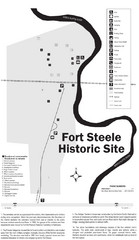
Fort Fred Steele State Historic Site Map
This frontier Army post has a fascinating history interlacing transportation with the military and...
134 miles away
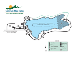
Sweitzer Lake State Park Map
Map of park with detail of recreation zones
134 miles away
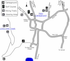
Wasatch Mountain State Park Map
Year-round adventure awaits - golf, hike, bike, camp, horseback ride, snowmobile, cross-country ski...
136 miles away
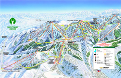
Deer Valley Ski Trail Map
Official ski trail map of Deer Valley ski area from the 2007-2008 season.
136 miles away

Deer Valley Resort Ski Trail Map
Trail map from Deer Valley Resort.
136 miles away
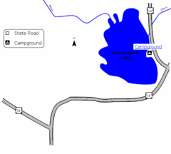
Huntington Lake State Park Map
Take a hike around this beautiful lake.
136 miles away

Park City Map
Street map of Park City
136 miles away
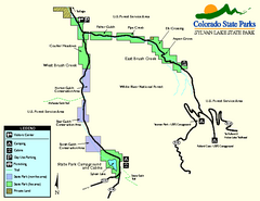
Sylvan Lake State Park Map
Map of park with detail of recreation zones and campgrounds
136 miles away
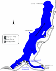
Deer Creek State Park Map
Deer Creek State Park lies in the southwest corner of beautiful Heber Valley and consistently...
136 miles away
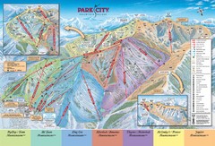
Park City Ski Trail Map
Official ski trail map of Park City ski area for the 2007-08 season.
137 miles away
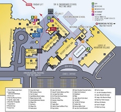
Park City Mountain Resort Map
137 miles away
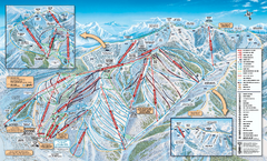
Park City Mountain Resort Ski Trail Map 2006-07
Official ski trail map of Park City for the 2006-2007 season. Site of the 2002 Winter Olympics.
137 miles away
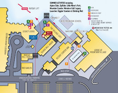
Park City Resort Base Map
Map of Park City Ski Area base buildings.
137 miles away
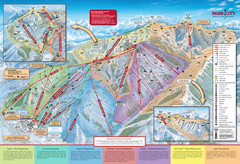
Park City Mountain Trail Map
Map of Park City Mountain's various ski trails
137 miles away

Park City Area Map
Area map of Park City, Utah
137 miles away
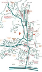
Park City town map
137 miles away

