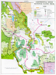
Continental Divide Scenic Trail Map
Guide to the Montana portion of the Continental Divide trail
504 miles away
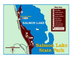
Salmon Lake State Park Map
Immediately adjacent to Montana 83, this park is an access point to one of the beautiful lakes in...
506 miles away
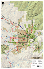
Missoula Bike Trails Map
Road and Mt. Bike trails with a bit of topology near Missoua
507 miles away

Missoula Trail System Map
Basic Map of Hike/Bike/Run Trail system for Missoula MT
507 miles away

Missoula, Montana City Map
507 miles away
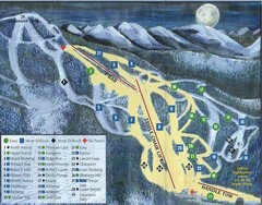
Marshall Mountain Ski Trail Map
Trail map from Marshall Mountain.
507 miles away
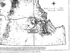
Map of Wolverine Sightings: 1886 -- 1998
509 miles away
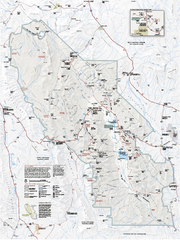
Death Valley National Park map
Official NPS map of Death Valley National Park. Shows all roads (paved and unpaved), 4 wheel drive...
510 miles away
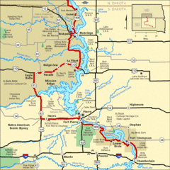
Native American Scenic Byway, South Dakota...
511 miles away
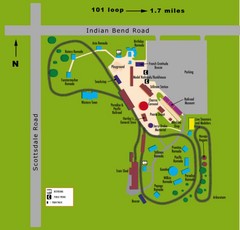
McCormick Railroad Park Map
512 miles away
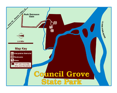
Council Grove State Park Map
Clearly marked map.
513 miles away
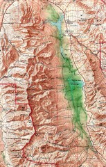
Death Valley National Park Map
514 miles away
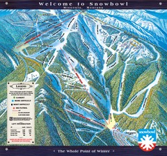
Montana Snowbowl Ski Trail Map
Trail map from Montana Snowbowl.
515 miles away
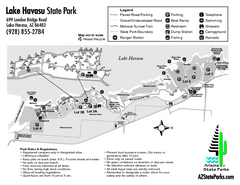
Lake Havasu State Park Map
Map of park with detail of trails and recreation zones
515 miles away
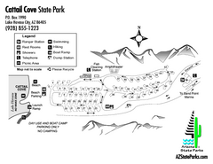
Cattail Cove State Park Map
Map of park with detail of trails and recreation zones
516 miles away
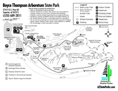
Boyce Thompson Arboretum State Park Map
Nice arboretum with lots of desert plants.
517 miles away

Map of North and South Dakota 1906
518 miles away

Sourth Dakota Wind Resource Map
518 miles away

South Dakota Counties Map
518 miles away
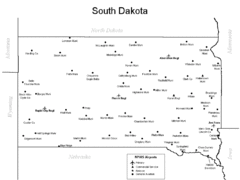
South Dakota Airports Map
518 miles away

University Of Phoenix Stadium Map
One of the most amazing stadiums, with the first fully retractable natural grass playing surface...
519 miles away
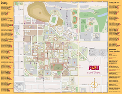
Arizona State University, Tempe Camous Map
Campus map of Arizona State University. Main campus, Tempe is shown. All Buildings are included.
519 miles away
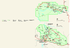
Theodore Roosevelt National Park Official Park Map
Official NPS map of Theodore Roosevelt National Park in North Dakota. Map shows both North and...
520 miles away
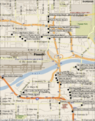
Phoenix Sky Harbor Airport Hotels Map
520 miles away
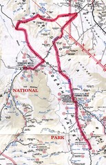
Death Valley Guide Map
520 miles away
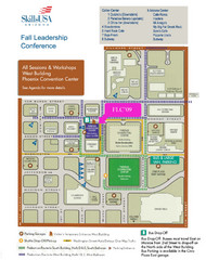
Central Phoenix, Arizona Restaurant Map
520 miles away

Steens Mountain Topo Map
Topography map of the east side of Steens mountain in Oregon.
520 miles away
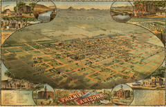
Dyer’s Birdseye view of Phoenix (1885) Map
C.J. Dyer's beautiful birdseye map of Phoenix in 1885.
520 miles away

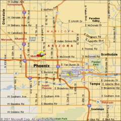
Phoenix, Arizona City Map
520 miles away
Glendale Urban Shuttle 3 Map
520 miles away
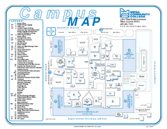
Mesa Community College Campus Map
Mesa Community College Campus Map. All buildings shown.
520 miles away
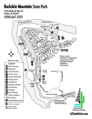
Buckskin Mountain State Park Map
Map of park with detail of trails and recreation zones
521 miles away

South Dakota Map
522 miles away
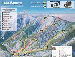
Ski Apache Ski Trail Map
Official ski trail map of Ski Apache ski area in New Mexico. Go to the site to view photos and...
523 miles away
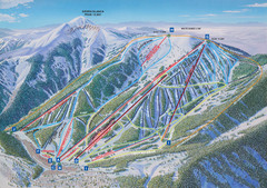
Ski Apache Ski Trail Map
Trail map from Ski Apache.
523 miles away
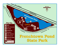
Frenchtown Pond State Park Map
Plan to bring everyone in the family to this day-use-only park for a whole afternoon of picnicking...
523 miles away

Death Valley National Park Map
525 miles away
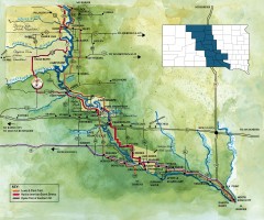
Great Lakes of South Dakota Map
Shows "the other Great Lakes" stretching along the Missouri River in South Dakota. Shows...
526 miles away
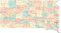
South Dakota Road Map
526 miles away

