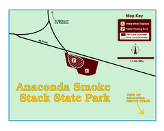
Anaconda Smoke Stack State Park Map
Simple map of State Park.
436 miles away
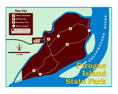
Pirogue Island State Park Map
Visitors find this isolated and undeveloped cottonwood-covered Yellowstone River island an...
437 miles away
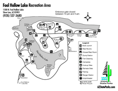
Fool Hollow Lake Recreation Area Map
Map of recreation area with detail of trails and recreation zones
438 miles away
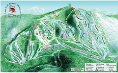
Lost Powder Mountain Ski Trail Map
Trail map from Lost Trail Powder Mountain.
438 miles away
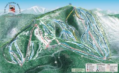
Lost Trail Powder Mountain Ski Trail Map
Official ski trail map of Lost Trail Powder Mountain ski area
439 miles away
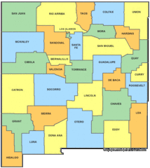
New Mexico Counties Map
439 miles away
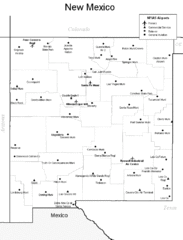
New Mexico Airports Map
439 miles away
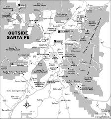
Surrounding Santa Fe, New Mexico Area Map
439 miles away
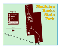
Medicine Rocks State Park Map
As the name implies, Medicine Rocks was a place of "big medicine" where Indian hunting...
441 miles away
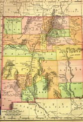
New Mexico 1895 Map
444 miles away
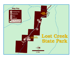
Lost Creek State Park Map
These spectacular gray limestone cliffs and pink and white granite formations rise 1,200 feet above...
444 miles away
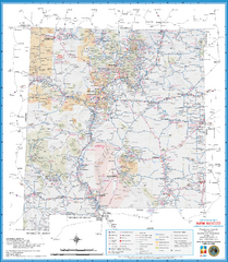
New Mexico Road Map
Detailed road map of state of New Mexico
444 miles away
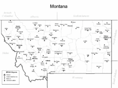
Montana Airports Map
445 miles away
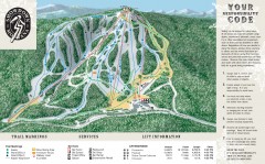
Showdown Ski Trail Map
Official ski trail map of Showdown ski area
445 miles away
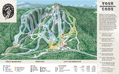
Showdown Ski Area Ski Trail Map
Trail map from Showdown Ski Area.
445 miles away
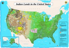
Indian Lands Map
Map of Indian Lands throughout the US
445 miles away

Helena, Montana City Map
447 miles away
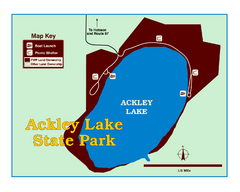
Ackley Lake State Park Map
Simple map of the State Park.
447 miles away
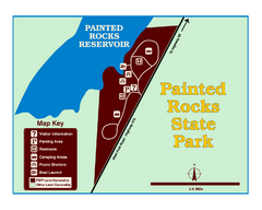
Painted Rocks State Park Map
Located in the scenic Bitterroot Mountains, this 23-acre park offers boating and water sport...
449 miles away
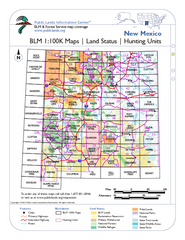
Index of BLM Maps for NM Hunting Units Map
This handy index shows the BLM surface management (land ownership) maps you need for all the...
451 miles away
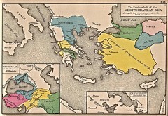
Historical Map of Mediterranean Sea B.C. 1884
"The Eastern half of the Mediterranean Sea during the two centuries preceeding the birth of...
451 miles away
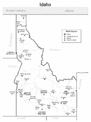
Idaho Airports Map
451 miles away
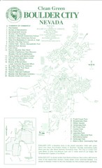
Boulder City Map
Map of Boulder City, Nevada. Shows points of interest and parks.
451 miles away
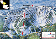
Discovery Basin Ski Area B Ski Trail Map
Trail map from Discovery Basin Ski Area.
451 miles away
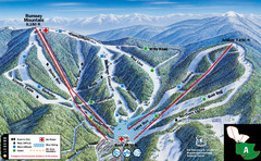
Discovery Basin Ski Area A Ski Trail Map
Trail map from Discovery Basin Ski Area.
451 miles away

Nevada Map
451 miles away
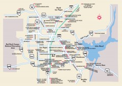
Las Vegas Surrounding Areas, Nevada Map
Tourist map of the areas surrounding Las Vegas, Nevada. Shows hotels and inns outside of downtown...
453 miles away
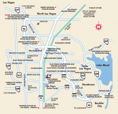
Point of Interest in Las Vegas, Nevada Map
Tourist map of Las Vegas, Nevada. Shows museums, government buildings, and other attractions.
453 miles away
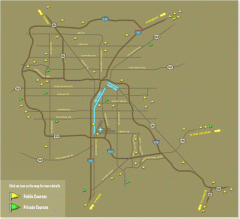
Golf Courses near Las Vegas, Nevada Map
Map of golf courses in and around Las Vegas, Nevada. Shows public and private courses, as well as...
453 miles away
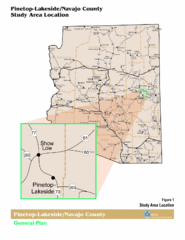
Arizona Highway Map
453 miles away
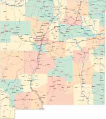
New Mexico Road Map
Detailed road map of New Mexico state
453 miles away
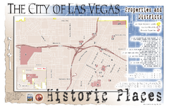
Las Vegas Historical Landmarks Map
453 miles away
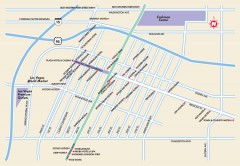
Downtown Las Vegas, Nevada Map
Tourist map of downtown Las Vegas, Nevada. Casinos, hotels, and shopping opportunities are shown...
453 miles away
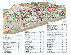
University of Nevada - Las Vegas Campus Map
Campus map of UNLV (University of Nevada - Las Vegas) All areas shown.
454 miles away
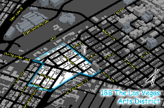
Las Vegas Arts District Map
454 miles away
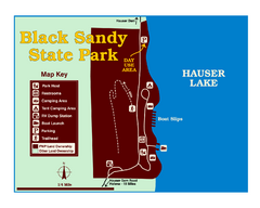
Black Sandy State Park Map
Simple but clear map of State Park.
454 miles away

Community College of Southern Nevada Map
Campus Area map of the Community College of Southern Nevada. The college is located on three main...
454 miles away
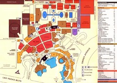
Las Vegas Tourist Map
454 miles away
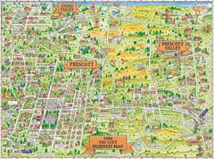
Prescott Prescott Valley and Chino Valley Tourist...
Tri-city tourist map of Prescott, Arizona, Prescott Valley, Arizona, and Chino Valley, Arizona...
455 miles away

