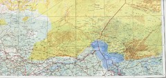
Lake Chad and Eastern Niger Physical Map
Physical map covers Lake Chad and East Niger. Shows roads and topography. Portion of Sheet 13...
929 miles away
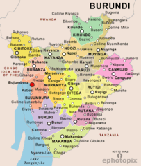
Burundi Political Map
936 miles away
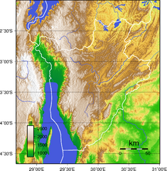
Burundi Topography Map
Color-coded physical relief map of country of Burundi
936 miles away
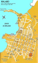
Malabo city Map
941 miles away
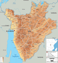
Burundi Physical Map
942 miles away
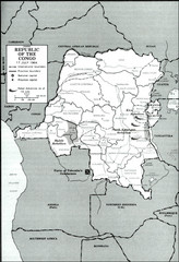
Republic of the Congo 1964 Military Map
Map of the military situation with a hostage crisis in 17 July 1964. Map shows rebel forces and...
942 miles away
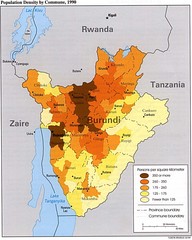
Burundi Population Density Map
Map of Burundi's population density by commune
944 miles away
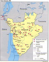
Burundi Power Plant Map
Map marking hydroelectric and thermal power plants, plus transmission lines.
944 miles away
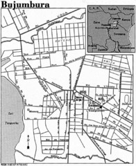
Burundi City Map
Simple city map labeling road systems.
944 miles away
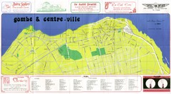
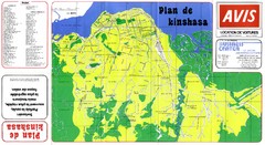
Kinshasa Gombe and Centreville Tourist Map
Tourist map of Gombe and Centreville in Kinshasa. Shows streets and points of interest. In French...
945 miles away
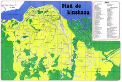
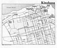
Kinshasa Overview Map
Overview map of Kinshasa, Democratic Republic of Congo shows major streets.
947 miles away
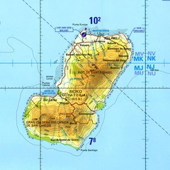
Bioko-Fernando Po island Map
951 miles away
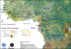
African Great Apes Habitat Range Map
Shows habitat ranges of chimpanzees, bonobos, and gorillas
951 miles away
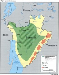
Burundi Agricultural Map
Map of Burundi's major agricultural areas
956 miles away
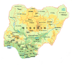
Nigeria Map
961 miles away

World Map
968 miles away
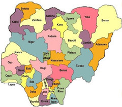
Nigeria political regions Map
969 miles away
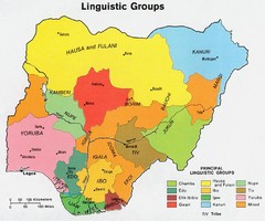
Nigeria Linguistic groups 1979 Map
970 miles away
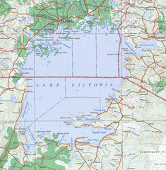
Lake Victoria 1968 Map
970 miles away
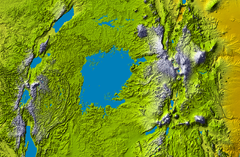
Lake Victoria topography Map
970 miles away
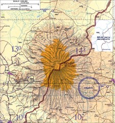
Mount Elgon topo. Map
974 miles away
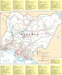
Nigeria electric grid Map
976 miles away
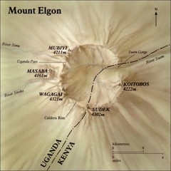
Mount Elgon shaded relief Map
978 miles away

Niger Map
988 miles away
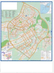
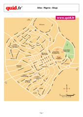
Abuja City Tourist Map
Tourist map of Abuja, Nigeria. Mostly illegible.
990 miles away
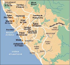
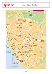
Libreville City Map
Simple map marking towns and roads.
994 miles away
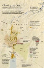
Omo River Ethiopia Map
Choking of the Omo River from National Geographic Magazine
1004 miles away

Niger population Map
1014 miles away
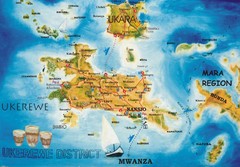
Ukerewe Island Lake Victoria Map
1021 miles away
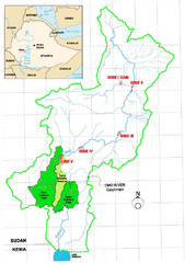
Omo River Drainage area Map
1025 miles away

Niger population density Map
1083 miles away

Lake Tana Map
1090 miles away
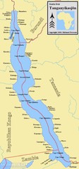
Lake Tanganyika Map
Deepest Lake in Africa at 4823 ft.
1103 miles away
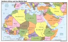
Northern Africa Map
Map of Northern Africa and Middle East
1103 miles away
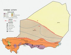
Niger 1969 Economic Activity Map
Guide to the economic activity of Niger in 1969
1103 miles away
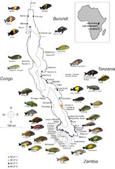
Fish of Lake Tanganyika Map
1121 miles away

