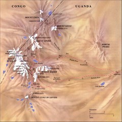
Rwenzori National Park Mt. Stanley Map
748 miles away
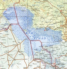
Niger Lake Chad Map
750 miles away
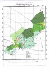
Budongo Forest Map
Budongo Forest Map Shows color-coded forest management zones.
786 miles away
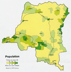
Zaire Population Map
This map clearly marks the distribution of Zaire's population.
810 miles away
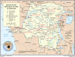
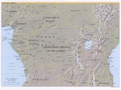
Democratic Republic of Congo Map
Overview map of the Democratic Republic of Congo (DRC).
810 miles away
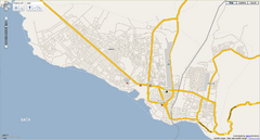
Goma, Congo street map
Street map of eastern Congo–Kinshasha city of Gome, near the Rwanda border. Produced by...
821 miles away
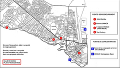
City of Goma Evacuation Plan, late 2007 Map
Map of Goma indicating evacuation points for Congolese government push against rebel groups (mostly...
821 miles away
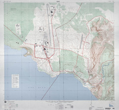
Goma Map
Goma, Democratic Republic of the Congo • original scale 1:7,500, Edition 3-DMA, Series Z091.
822 miles away
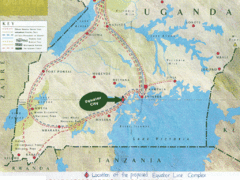
Uganda Tourist Map
Map of Uganda shows Trails and the proposed location of Equator City.
839 miles away
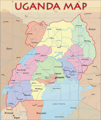
Uganda Political Map
Political map of Uganda. Shows regions, cities, and water features.
839 miles away
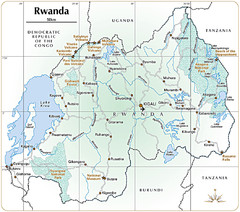
Rwanda Parks and Rainforest Map
861 miles away
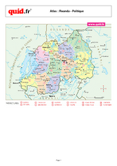
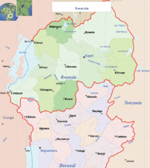
Rwanda Regional Map
Map of Rwanda with detail of regional divides
863 miles away
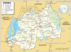
Rwanda Road Map
865 miles away
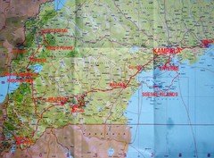
Uganda Tourist Map
865 miles away
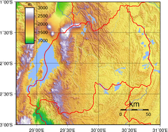
Rwanda Topography Map
868 miles away
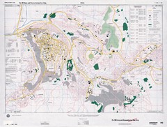
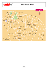
Kigali Road Map
873 miles away
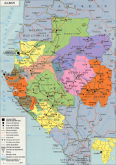
Gabon Regional Map
Guide to the regions of Gabon
879 miles away
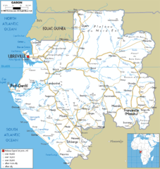
Gabon road Map
879 miles away
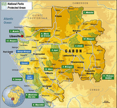
Gabon National Park Map
Guide to the national parks of Gabon in Africa
883 miles away
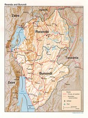
Rwanda Topographic Map
Guide to the African country of Rwanda
890 miles away
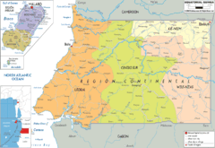
Equatorial Guinea Political Map
891 miles away
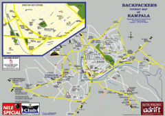
Kampala Tourist Map
Tourist map of Kampala
895 miles away
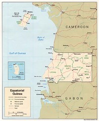
Equatorial Guinea Map
Guide to the African country of Equitorial Guinea
897 miles away
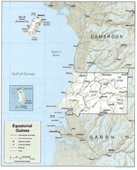
Equatorial Guinea Guide Map
902 miles away
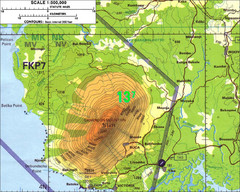
Mt Cameroon Topo Map
Topographic map of Mt. Cameroon, 13,255 feet.
906 miles away
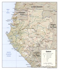
Gabon physical Map
912 miles away
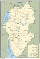
Rwanda and Burundi Guide Map
915 miles away
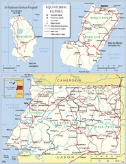
Equatorial Guinea Admin. Map
916 miles away
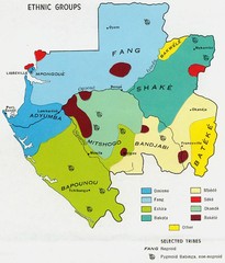
Gabon ethnic groups Map
919 miles away
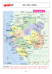
Gabon Regional Map
Map of Gabon with detail of regional divides
920 miles away
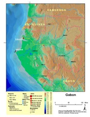
Gabon Shaded Relief Map
Shaded relief map of Gabon. Shows airports, railroads, roads, and cities.
920 miles away
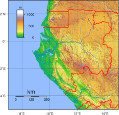
Gabon Topography Map
921 miles away
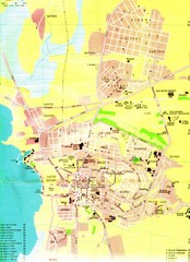
Bujumbura City Map
922 miles away
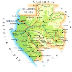
Gabon Map
929 miles away

