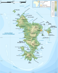
Mayotte Topographic Map
Guide to the island nation of Mayotte
2026 miles away
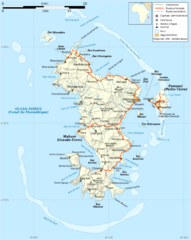
Mayotte Map
Guide to the country of Mayotte, an overseas collectivity of France
2027 miles away

Mayotte tourism Map
2028 miles away
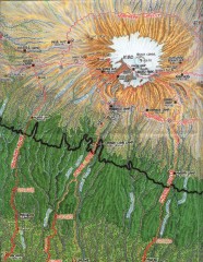
Kilimanjaro Climbing Route Map
Hand-drawn map shows major climbing routes on the southern side of Mt. Kilimanjaro, Tanzania...
2028 miles away
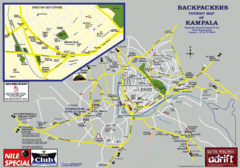
Kampala Tourist Map
Tourist map of Kampala
2030 miles away
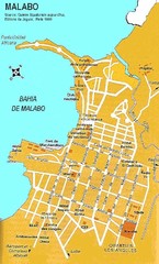
Malabo city Map
2040 miles away
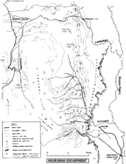
Nguruman Mountain Map
2044 miles away
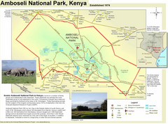
Amboseli National Park Map
Park map of Amboseli National Park, Kenya, home of elephants.
2048 miles away
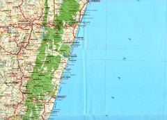
Antananarivo region Map
2054 miles away
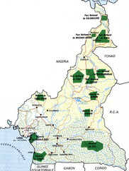
Cameroon parks Map
2059 miles away
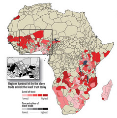
African distrust and the slave trade Map
2060 miles away
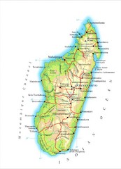
Madagascar Map
Guide to the African country of Madagascar
2060 miles away
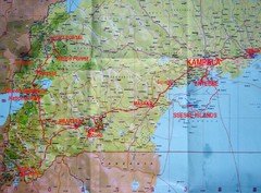
Uganda Tourist Map
2061 miles away
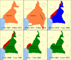
Cameroon boundary changes Map
2063 miles away
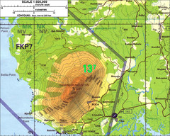
Mt Cameroon Topo Map
Topographic map of Mt. Cameroon, 13,255 feet.
2065 miles away
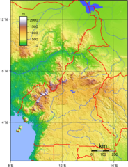
Cameroon topographical Map
2066 miles away
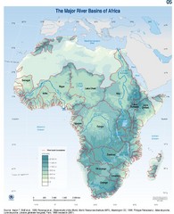
Africa River Basin Map
Guide to the major river basins of Africa
2077 miles away
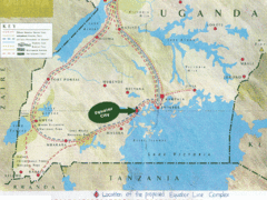
Uganda Tourist Map
Map of Uganda shows Trails and the proposed location of Equator City.
2083 miles away
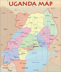
Uganda Political Map
Political map of Uganda. Shows regions, cities, and water features.
2083 miles away
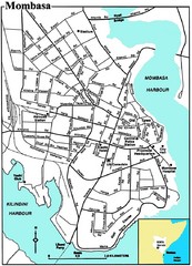
Mombasa City Map
Simple and clear map of this Kenyan city.
2088 miles away
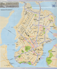
Mombasa City Map
2089 miles away
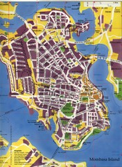
Mombasa City Map
City street map of Mombasa Island, Kenya
2089 miles away
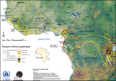
African Great Apes Habitat Range Map
Shows habitat ranges of chimpanzees, bonobos, and gorillas
2095 miles away
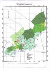
Budongo Forest Map
Budongo Forest Map Shows color-coded forest management zones.
2097 miles away
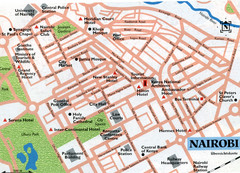
Nairobi City Map
Close up map marking roads and parks in downtown Nairobi.
2103 miles away
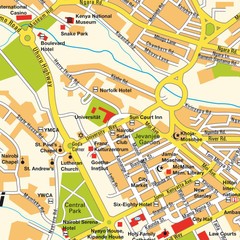
Niarobi City Map
2103 miles away
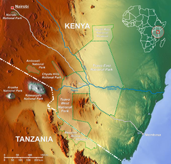
Tsavo National Park Map
2113 miles away
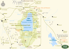
Lake Nukuru Map
Lake Nukuru and its surrounding areas provide for an amazing safari experience.
2120 miles away
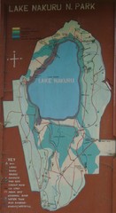
Lake Nakuru National Park Map
2124 miles away
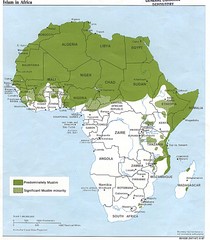
Islam in Africa Map
Map of Islamic population densities throughout Africa
2141 miles away
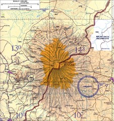
Mount Elgon topo. Map
2147 miles away
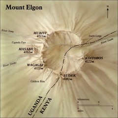
Mount Elgon shaded relief Map
2153 miles away
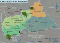
Central African Republic Regions Map
2167 miles away
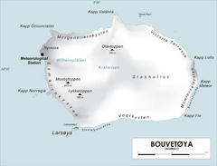
Bouvet Island Map
Map of Bouvet Island in the Southern Atlantic Ocean. Shows peaks and meteorological station.
2167 miles away
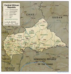
Central African Republic Map
Guide to Central African Republic
2173 miles away
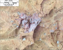
Mt. Kenya Topo Map
Topographical map of Mt. Kenya, the second highest mountain in Africa at 17058 ft
2185 miles away
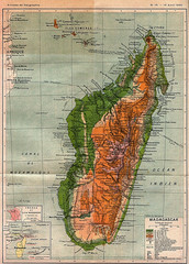
1895 Madagascar Map
Historic map of Madagascar
2190 miles away
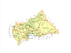
Central African Republic Map
2190 miles away

