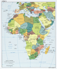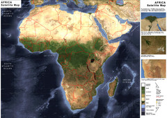
Economic Commission for Africa Map
Map of Economic Commission for Africa with detail of member-countries
1852 miles away
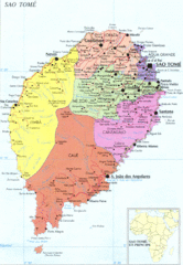
Sao Tome Political Map
Political map of island of São Tomé, lying on the equator off the west coast of...
1852 miles away
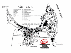
Sao Tome City Map
City map of Sao Tome with tourist information
1858 miles away
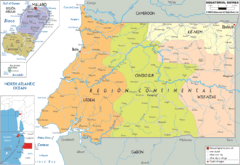
Equatorial Guinea Political Map
1863 miles away
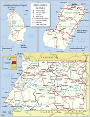
Equatorial Guinea Admin. Map
1866 miles away
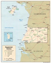
Equatorial Guinea Map
Guide to the African country of Equitorial Guinea
1870 miles away
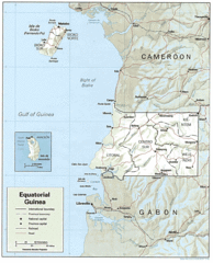
Equatorial Guinea Guide Map
1874 miles away
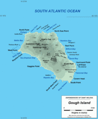
Gough Island Map
1883 miles away

Madagascar land cover and elevation Map
1895 miles away
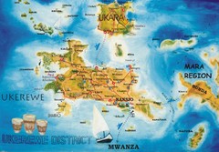
Ukerewe Island Lake Victoria Map
1910 miles away
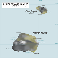
Prince Edward Island Map
Map of islands of South Africa
1917 miles away
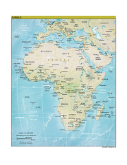
Africa CIA world factbook Map
1925 miles away

Early East and Central Africa Map - Slug Map
Sketch of a Map from 1 & deg;N. to 15 & deg;S. Latitude and from 23 & deg; to 43 &...
1934 miles away
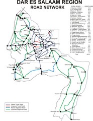
Dar Es Salaam Road Map
Map of road network in Dar Es Salaam, Tanzania
1936 miles away
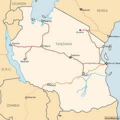
Railways in Tanzania Map
Railway network of Tanzania Map licensed on Creative Commons Share Alike License 3.0 You can...
1936 miles away
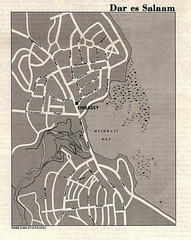
Dar es Salaam, Tanzania Tourist Map
1936 miles away
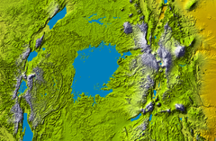
Lake Victoria topography Map
1940 miles away
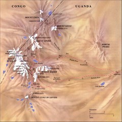
Rwenzori National Park Mt. Stanley Map
1945 miles away
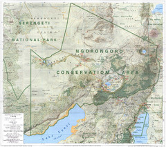
Ngorongoro Conservation Area Map
1946 miles away
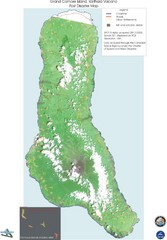
Grand Comore Island Volcanic Eruption Map
Karthala volcanic eruption post disaster map on Grand Comore Island, 8/12/2005
1957 miles away
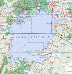
Lake Victoria 1968 Map
1962 miles away

Grand Comore Island Topography Map
1964 miles away
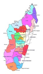
Madagascar regions Map
1967 miles away
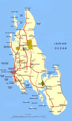
Zanzibar Tourist Map
1972 miles away
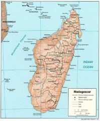
Madagascar Roads and Trains Map
Cities, roads and train lines.
1973 miles away
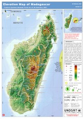
Madagascar Elevation Map
Shows color-coded elevation of island of Madagascar. Shows tropical cyclone Gamede track as of Feb...
1973 miles away
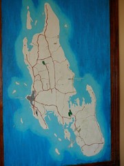
Zanzibar Island Map
Island map of Zanzibar, Tanzania From photo Oct 3 2007
1973 miles away
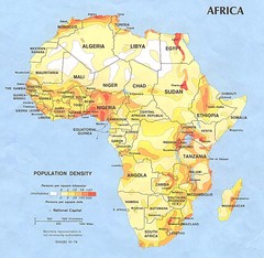
Africa Population Map
Map of population densities throughout Africa
1976 miles away
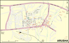
Arusha Town Map
Town map with lodging locations identified
1984 miles away

Comoros Islands Map
1988 miles away
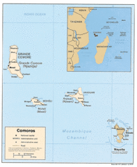
Mayotte Regional Map
Guide to the area around Mayotte
1993 miles away
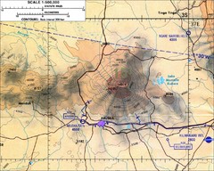
Mount Meru Topographic Map
Topographic map of Mount Meru in Nothern Tanzania
1994 miles away
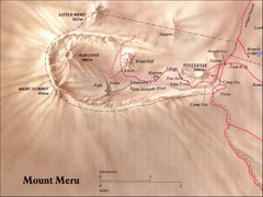
Mount Meru Physical Map
1994 miles away
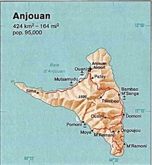
Anjouan Island topography Map
2005 miles away
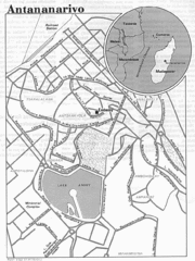
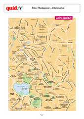
Antananarivo, Madagascar Tourist Map
2011 miles away
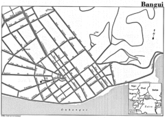
Bangui Road Map
Road map of Bangui city in the Central African Republic.
2015 miles away
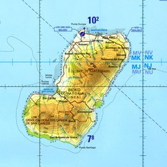
Bioko-Fernando Po island Map
2023 miles away

