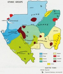
Gabon ethnic groups Map
1690 miles away
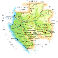
Gabon Map
1692 miles away
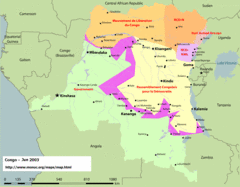
Congo Map
Cities, capitols, borders and more are clearly marked on this map.
1694 miles away
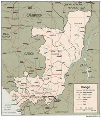
Congo 1986 Guide Map
1694 miles away
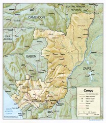
Congo Physical Relief Map
Physical relief map of the Republic of the Congo. Shows major roads and cities.
1694 miles away
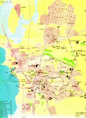
Bujumbura City Map
1697 miles away
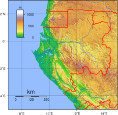
Gabon Topography Map
1701 miles away
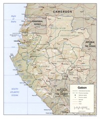
Gabon physical Map
1702 miles away
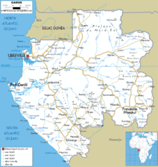
Gabon road Map
1704 miles away
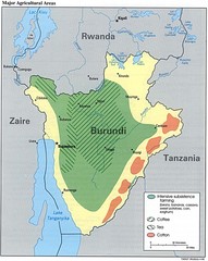
Burundi Agricultural Map
Map of Burundi's major agricultural areas
1705 miles away
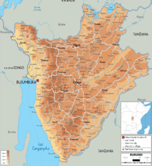
Burundi Physical Map
1715 miles away
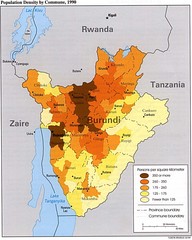
Burundi Population Density Map
Map of Burundi's population density by commune
1716 miles away
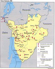
Burundi Power Plant Map
Map marking hydroelectric and thermal power plants, plus transmission lines.
1716 miles away
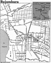
Burundi City Map
Simple city map labeling road systems.
1716 miles away
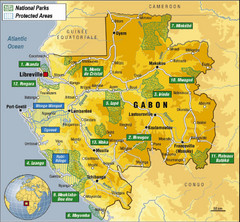
Gabon National Park Map
Guide to the national parks of Gabon in Africa
1721 miles away
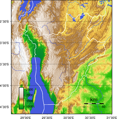
Burundi Topography Map
Color-coded physical relief map of country of Burundi
1723 miles away
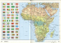
Africa Flag Map
Physical map of Africa with flag legend for all countries. Scanned.
1724 miles away
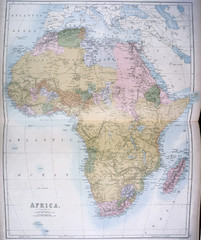
Africa Map 1885
Shows Africa with pre-colonial boundaries demarcated at the Berlin Conference of 1885.
1724 miles away
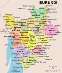
Burundi Political Map
1727 miles away
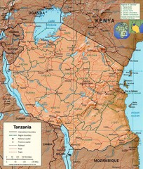
Tanzania Map
1747 miles away
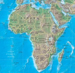
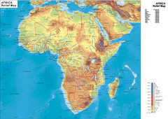
Physical Africa Map
1757 miles away
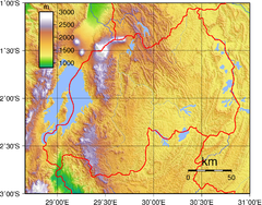
Rwanda Topography Map
1776 miles away
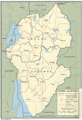
Rwanda and Burundi Guide Map
1779 miles away
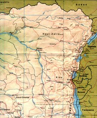
Zaire (Eastern Region) Map
Eastern Zaire (now Democratic Republic of the Congo)
1780 miles away
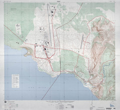
Goma Map
Goma, Democratic Republic of the Congo • original scale 1:7,500, Edition 3-DMA, Series Z091.
1797 miles away
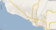
Goma, Congo street map
Street map of eastern Congo–Kinshasha city of Gome, near the Rwanda border. Produced by...
1798 miles away
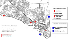
City of Goma Evacuation Plan, late 2007 Map
Map of Goma indicating evacuation points for Congolese government push against rebel groups (mostly...
1798 miles away
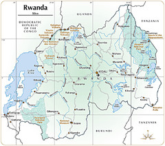
Rwanda Parks and Rainforest Map
1800 miles away
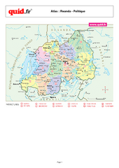
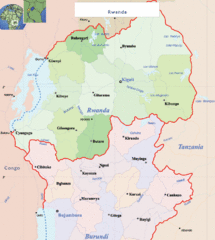
Rwanda Regional Map
Map of Rwanda with detail of regional divides
1802 miles away
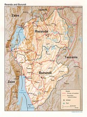
Rwanda Topographic Map
Guide to the African country of Rwanda
1802 miles away
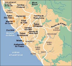
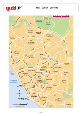
Libreville City Map
Simple map marking towns and roads.
1804 miles away
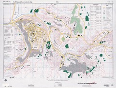
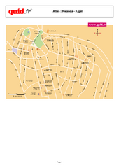
Kigali Road Map
1808 miles away
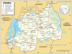
Rwanda Road Map
1813 miles away
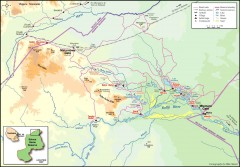
Seleous Game reserve, northern portion Map
Shows the northern part of the Seleous Game reserve in Tanzania around the Rufiji River and Beho...
1827 miles away
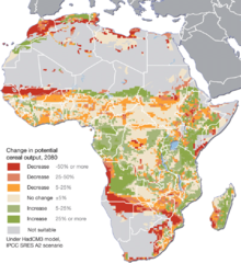
Projected climate change impacts for agriculture...
Africa is one of the regions that will be hit the hardest by climate change, and it will likely...
1839 miles away

