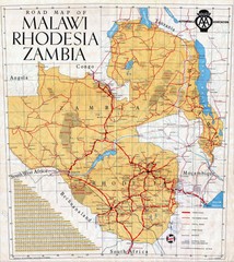
Malawi, Rhodesia and Zambia Road Map
Road map to the southern countries of Africa
1110 miles away
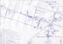
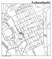
Hand Drawn Lubumbashi City Map
The City Center of Lubumbashi in the Democratic Republic of the Congo
1143 miles away
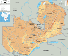
Zambia physical Map
1147 miles away
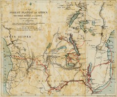
Forest Plateau of Africa Map
A historical Map of the Forest Plateau of Africa. Includes rivers, lakes, cities, and the route of...
1151 miles away
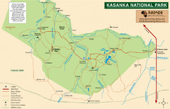
Kasanka National Park Map
1217 miles away

Mfuwe Area South Luangwe National Park Map
1271 miles away
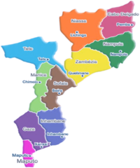
Mozambique Political Map
1275 miles away
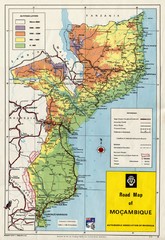
Mozambique Road Map
Shows major roads. Color-coded by elevation.
1275 miles away
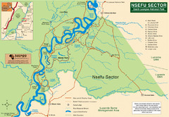
Nsfeu Sector South Luangwa National Park Map
1285 miles away
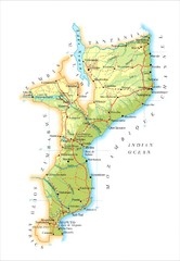
Mozambique Map
1329 miles away
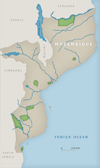
Mozambique National Parks Map
1335 miles away
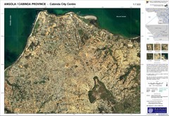
Cabinda City Map
Topo city map of central Cabinda, Angola. Shows points of interest.
1359 miles away
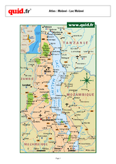
Lake Malawi Map
Map of Lake Malawi and surrounding region
1368 miles away
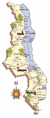
Malawi Map
1391 miles away
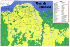
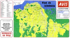
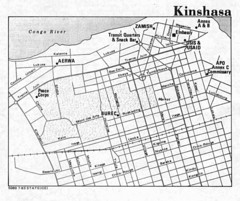
Kinshasa Overview Map
Overview map of Kinshasa, Democratic Republic of Congo shows major streets.
1412 miles away
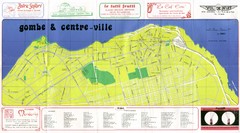
Kinshasa Gombe and Centreville Tourist Map
Tourist map of Gombe and Centreville in Kinshasa. Shows streets and points of interest. In French...
1414 miles away
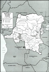
Republic of the Congo 1964 Military Map
Map of the military situation with a hostage crisis in 17 July 1964. Map shows rebel forces and...
1420 miles away
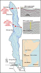
Lake Malawi Bathemetric Map
1425 miles away
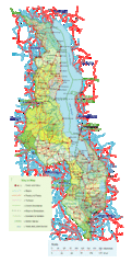
Malawi Overview Map
Overview of country of Malawi on Lake Malawi. Shows roads and rivers.
1427 miles away
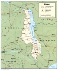
Malawi Map
Guide to Malawi, a country in Africa
1455 miles away
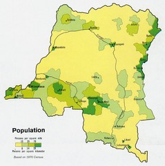
Zaire Population Map
This map clearly marks the distribution of Zaire's population.
1468 miles away
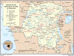
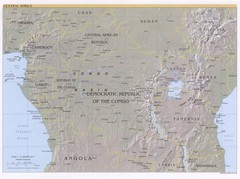
Democratic Republic of Congo Map
Overview map of the Democratic Republic of Congo (DRC).
1468 miles away

Lake Malawi Map
1513 miles away
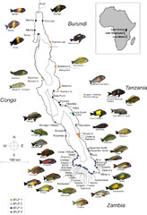
Fish of Lake Tanganyika Map
1521 miles away
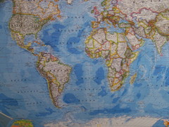
Southern Hemisphere World Map
1523 miles away
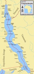
Lake Tanganyika Map
Deepest Lake in Africa at 4823 ft.
1531 miles away

St Helena Map
1574 miles away
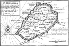
St. Helena 1732 Map
1575 miles away

St. Helena Topography Map
1576 miles away
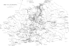
St Helena Historical Map
Map of St Helena by Fowler
1685 miles away
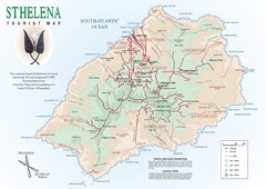
St. Helena Tourist Map
Tourist map of the remote island of St. Helena. Shows details of key locations, routes and...
1685 miles away
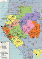
Gabon Regional Map
Guide to the regions of Gabon
1687 miles away
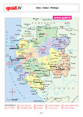
Gabon Regional Map
Map of Gabon with detail of regional divides
1689 miles away
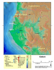
Gabon Shaded Relief Map
Shaded relief map of Gabon. Shows airports, railroads, roads, and cities.
1689 miles away

