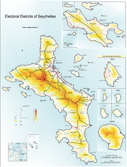
Seychelles Electoral Map
Shows electoral districts of the Seychelles Islands in the middle of the Indian Ocean.
2928 miles away
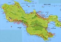
Grand Anse tourist Map
2948 miles away
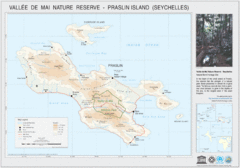
Vallee de Mai nature Reserve Map
2948 miles away
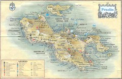
Praslin Island Map
Guide to the second largest island of the Seychelles
2949 miles away
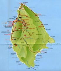
La Digue tourist Map
2953 miles away

Niger population density Map
2962 miles away
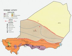
Niger 1969 Economic Activity Map
Guide to the economic activity of Niger in 1969
2967 miles away
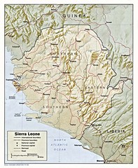
Sierra Leone Map
Guide to the African country of Sierra Leona
2980 miles away
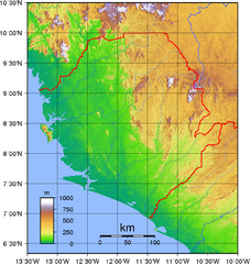
Sierra Leona Topography Map
Purely topographic map of Sierra Leone, with country outline
2982 miles away

Rodrigues Island with Cap Soleil Agency Map
2993 miles away
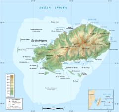
Rodrigues Island Topo Map
Island topographic map of Rodrigues Island. In French.
2993 miles away
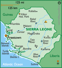
Sierra Leone Map
Cities and towns of Sierra Leone.
2995 miles away
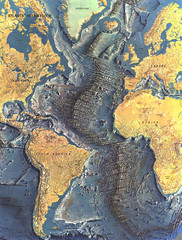
Atlantic Ocean Floor Map
3027 miles away
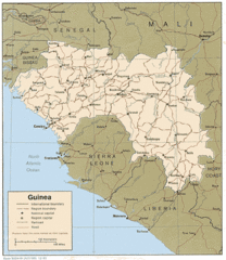
Guinea Map
Guide to Guinea, a country in Africa
3044 miles away
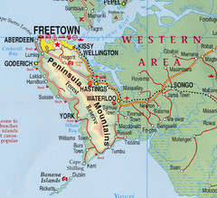
Freetown Map
Clear map of this amazing peninsula.
3059 miles away
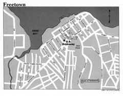
Freetown City Map
Road map of this Sierra Leone Capitol.
3060 miles away
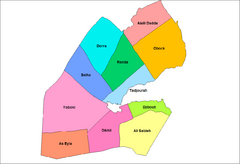
Djibouti District Map
Guide to the districts of Djibouti
3064 miles away
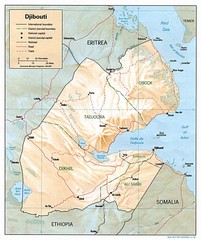
Djibouti Map
Guide to the African country of Djibouti
3071 miles away

Bamako Map
3075 miles away
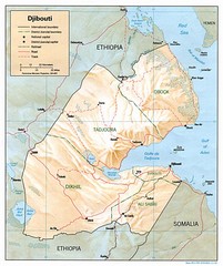
Djibouti, Africa Region Map
3078 miles away
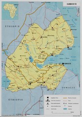
Djibouti, Africa Map
3078 miles away
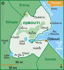
Djibouti, Africa Map
3078 miles away
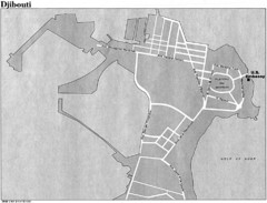
Djibouti, Africa City Map
3078 miles away

Mali topography Map
3123 miles away

Mali Political Map
3123 miles away
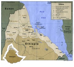
Eritrea Map
3133 miles away
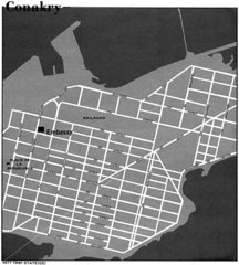
Conakry Road Map
Large and clear road map.
3135 miles away
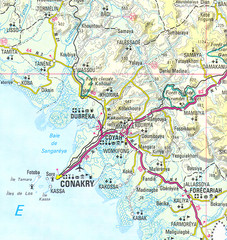
Conakry Map
Map marking airports, rivers, cities and geography of this Guinea city.
3139 miles away
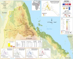
Eritrea Physical Map
3147 miles away
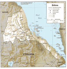
Eritrea in 1987 Map
3166 miles away
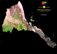
Eritrea Satellite Image Map
Eritrea photographed from space
3166 miles away
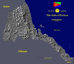
State of Eritrea Drainage and Elevation Map
Eritrea elevation map with drainage lines shown
3166 miles away
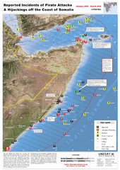
Pirate Attacks off Coast of Somalia Map
Shows reported incidents of pirate attacks and hijackings off the coast of Somalia from January...
3170 miles away

World Map
3232 miles away

Northern Africa Tourist Map
Countries in Northern Africa
3242 miles away

Malaria Risk Map
Shows global malaria risk for all regions: stable, unstable, and malaria free
3245 miles away

Kerguelen Island topo Map
3270 miles away

