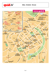
Karabakh Map
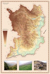
Physical Map of the Nagorno-Karabakh Republic (Artsakh)
1008 miles away
Karabakh Map
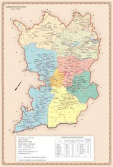
Administrative Map of the Nagorno-Karabakh Republic (Artsakh)
1008 miles away
Karabakh Map
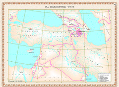
Geographic Location of the Nagorno-Karabakh Republic (Artsakh)
1008 miles away
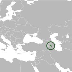
Nagorno-Karabakh Republic on the Map
The Nagorno-Karabakh Republic on the Regional Map
1008 miles away
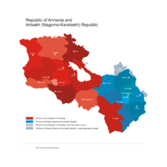
Armenia & Karabakh Vector Map
Map of the Republic of Armenia and the Nagorno-Karabakh Republic (Artsakh)
1008 miles away
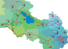
Armenia & Karabakh "Gold Circle" Map
Map of Tourist Attractions in Armenia & Nagorny Karabakh
1008 miles away

Armenia Map
Map of the Republic of Armenia and the Nagorno Karabakh Republic (Artsakh)
1008 miles away

Stepanakert Town Map
Town Plan of Stepanakert - capital of the Nagorno-Karabakh Republic (Artsakh)
1008 miles away
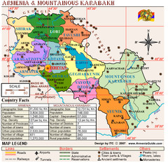
Armenia & Nagorny Karabakh Map
Map of Armenia & Nagorny Karabakh (Artsakh)
1008 miles away

Armenia & Karabakh Land Map
Land Map of the Republic of Armenia and the Nagorno-Karabakh Republic (Artsakh)
1008 miles away

Armenia & Karabakh Geomorphological Map
1008 miles away
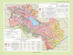
Armenia & Karabakh Geotechnical Map
Geotechnical Map of the Republic of Armenia and the Nagorno-Karabakh Republic (Artsakh)
1008 miles away
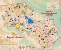
Historical Monuments of Armenia and Nagorny...
Map of Armenian Historical Monuments of the Republic of Armenia (Ararat Republic) and the Nagorno...
1008 miles away
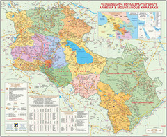
Map of the Republic of Armenia and the Nagorno...
Map of modern Armenian states - the Republic of Armenia and the Nagorno-Karabakh Republic (Artsakh)
1008 miles away
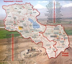
Armenia and Nagorny Karabakh Map
Map of Armenian states - the Republic of Armenia and the Nagorno-Karabakh Republic
1008 miles away
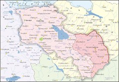
Republic of Armenia and Nagorno-Karabakh Republic...
Map of the Republic of Armenia and the Nagorno-Karabakh Republic (Artsakh)
1008 miles away
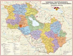
Administrative Map of Armenia & Nagorny...
Administrative Map of the Republic of Armenia and the Nagorno-Karabakh Republic
1008 miles away
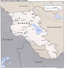
Armenia Defense Facilities Map
Map of major defense industry facilities in Armenia
1008 miles away
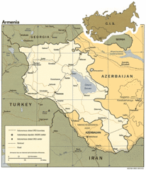
Armenia Map
Map of Armenia showing cities, roads and railways as well as international boundaries.
1008 miles away
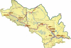
Lahaul Valley and Spiti Valley India Tourist Map
Tourist map for Lahaul Valley and Spiti Valley, India showing tourist sites and roads in the area.
1011 miles away

Ethno-Linguistic Groups in the Caucasus Map
Map of Ethno-Linguistic Groups in the Caucasus Region
1011 miles away
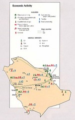
Saudi Arabia Economic Activity Map
Map of Saudi Arabia's economic activity
1014 miles away
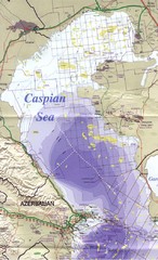
Northern Caspian Sea Map
1015 miles away
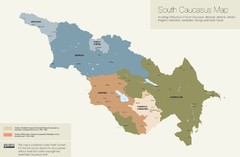
Political Map of the South Caucasus
True Map of the South Caucasus
1017 miles away

Armenia overlaid over southern California Map
1017 miles away
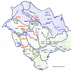
Himachil Tourist Map
1017 miles away
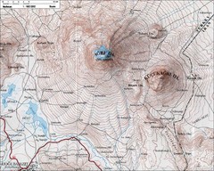
Mt. Ararat Topo Map
1019 miles away
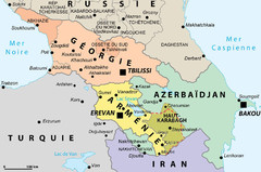
Political Map of the South Caucasus
Political Map of the South Caucasus
1019 miles away
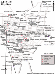
Jaipur Tourist Map
1020 miles away
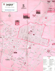
Jaipur Tourist Map
Tourist map of Jaipur, India, the "Heritage Pink City". Shows pink city gates, points of...
1021 miles away

Armenia & Karabakh Map
Map of Armenian states - the Republic of Armenia and the Nagorno-Karabakh Republic
1024 miles away
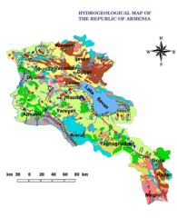
Armenia Hydrological Map
1029 miles away
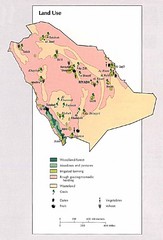
Saudi Arabia Land Use Map
Map of Saudi Arabia's land use
1031 miles away
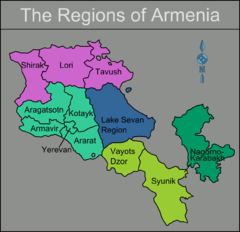
Armenia regions Map
1031 miles away
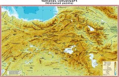
Armenian Highland Map
Map of the Armenian Haghland
1033 miles away
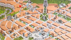
Yerevan Tourist Map
1036 miles away
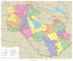
Karabakh & Armenia Map
Map of Armenian states - the Republic of Armenia and the Nagorno-Karabakh Republic
1036 miles away
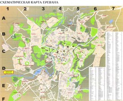
Yerevan Tourist Map
Tourist map of Yerevan, Armenia. Shows streets. In Russian.
1036 miles away
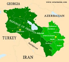
Nagorny Karabakh & Armenia Map
Map of the Nagorno-Karabakh Republic (Artsakh) and the Republic of Armenia
1037 miles away

