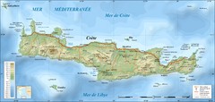
map of Crete
Royal Rent a Car Crete & Rent a Bike Crete offers professional car hire crete services, with...
0 miles away
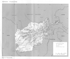
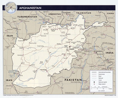
Afghanistan Topographic Map
159 miles away
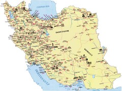
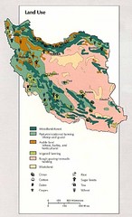
Iran Map
222 miles away
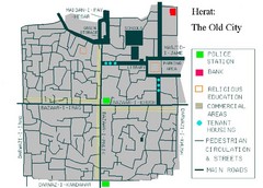
Herat Tourist Map
235 miles away
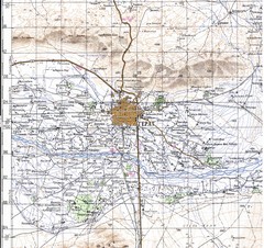
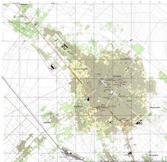
Herat Topo Map
original scale 1:200,000 Portion of Soviet General Staff map I-41-XV
235 miles away
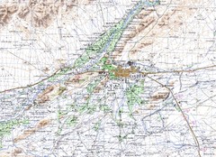
Kandahar Area Topo Map
Topo map of Kandahar, Afghanistan.
350 miles away
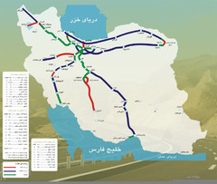
Iran Freeways Map
360 miles away
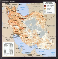
Iran Population Density Map
Map of Iran's population density
360 miles away
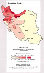
Iran Population Density Map
Map of Iran's population density
360 miles away
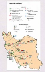
Iran Economic Activity Map
Map of Iran's economic activity
360 miles away
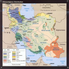
Iran Ethnoreligious Map
Map of ethnoreligious distribution throughout Iran
360 miles away
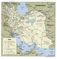
Iran Political Map
360 miles away
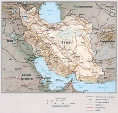
Iran Country Map
360 miles away
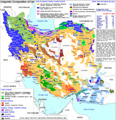
Languages of Iran Map
Linguistic groups of Iran. Very diverse plateau.
360 miles away
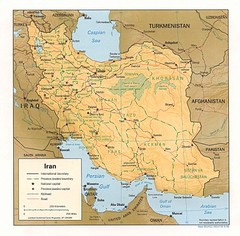
Iran Map
Map of Iran showing cities, provinces, railroads and roads.
360 miles away
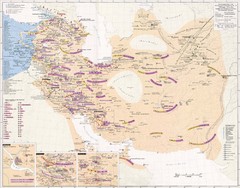
Iran Sasanian Dynasty Map
Iran during Sassanid dynasty, 224-651 AD
360 miles away
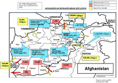
AFG Humanitarian Map
420 miles away

AFG Security & Poppy Cultivation 2008 Map
432 miles away
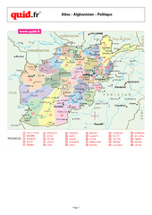
Afghanistan Provinces Map
Map of Afghanistan, with detail of province divisions
433 miles away
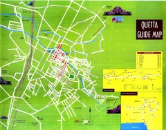
Quetta City Map
City map of Quetta, Pakistan. Shows major streets.
442 miles away
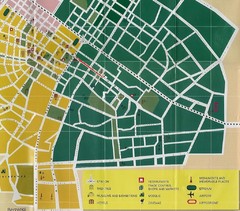
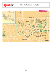
Ashgabat City Map
City map of Ashgabat with tourist information
443 miles away

Musandam Oman Map
444 miles away
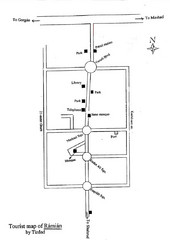
Ramian Tourist Map
Hand drawn map of Ramian, Iran showing buildings, roads and the mosque.
447 miles away
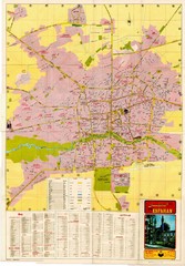
Isfahan Esfahan Map
Click to Enlarge Map of Isfahan
479 miles away
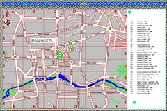
Isfahan Iran Tourist Map
This colored tourist map details tourist sites within the city of Isfahan, Iran.
479 miles away
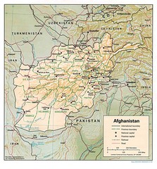
Afghanistan Map
Guide to Afghanistan and surrounds
481 miles away
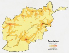
Afghanistan Population Map
488 miles away
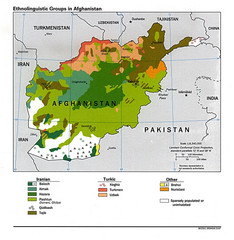
Afghanistan Entholinguistic Map
488 miles away
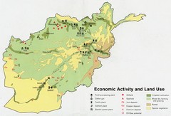
Afghanistan Economic and Land Use Tourist Map
488 miles away
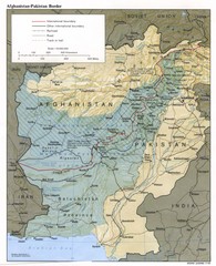
Afghanistan-Pakistan Border Map
488 miles away
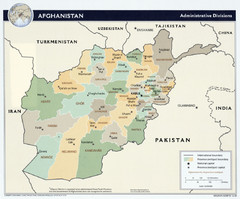
Afghanistan Tourist Map
488 miles away
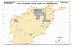
Afghanistan Shaded Relief Index Map
Index Map for the ASTER-Derived 30-Meter-Resolution Digital Elevation Models of Afghanistan.
488 miles away
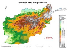
Afghanistan Elevation Map
Elevation map of Afghanistan
488 miles away
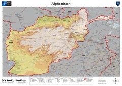
Afghanistan Map
Physical map of Afghanistan. Shows relief.
488 miles away

Mashhad, Iran 1971 Map
A map from 1971 of Mashhad, Iran
501 miles away

