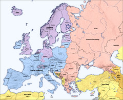
Traditional European Religious Majorities by...
Shows the traditional religious majorities by region in Europe.
146 miles away
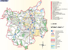
Ostrava Tourist Map
Tourist map of Ostrava, Czech Republic. Shows points of interest.
149 miles away

Drohiczyn Podlaskie Kayak Map
Kayak trips on the bug river highlighted on the map of Drohiczyn, Podlaskie, Poland.
153 miles away
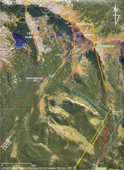
Tatras Map
The Tatras - rocks, landforms, weathering and soils field trip map with sites identified.
153 miles away
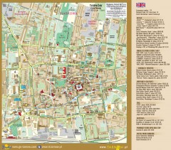
Tarnow Tourist Map
Tourist map of the center of Tarnow, Poland
154 miles away
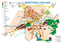
Miedzyrzec Podlaski Location Map (polish)
155 miles away
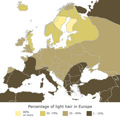
Europe Blond Hair Map
Shows percentage of light hair in Europe.
169 miles away
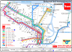
Gdansk Tram Route Map
Shows tram routes in Gdansk, Poland
170 miles away
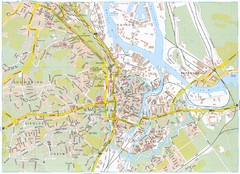
Gdansk Tourist Map
Tourist map of central Gdansk, Poland. Shows points of interest.
170 miles away
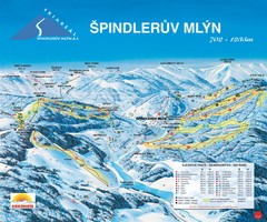
Špindlerův Mlýn Ski Trail Map
Trail map from Špindlerův Mlýn.
174 miles away
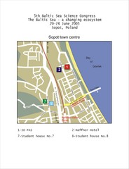
Eastern Sopot Map
176 miles away
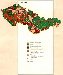
Czechoslovakia Land Use Map
Map of Czechoslovakia region land use
178 miles away
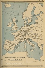
Universities of Europe Historical Map
180 miles away
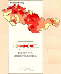
Czechoslovakia Population Density Map
Map of Czechoslovakia's population density
182 miles away
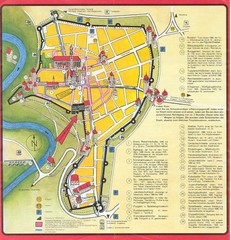
Rothenburg Tourist Map
Tourist map of town of Rothenburg
184 miles away
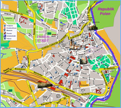
Goerlitz Tourist Map
Tourist street map of Goerlitz
187 miles away
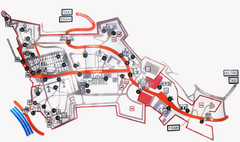
Vysehrad Tourist Map
189 miles away
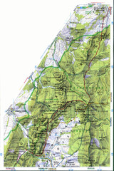
Sulovske vrchy Map
192 miles away
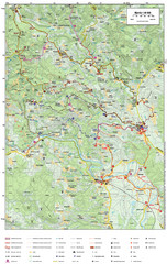
Krašić Bike Trail Map
Bike routes of the Krašić-Vivodina region.
192 miles away
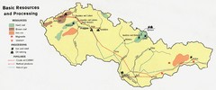
Czechoslovakia Resources Map (1974)
Map of 1974 Czechoslovakia resources
193 miles away
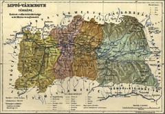
1910 Hungarian Map
Guide to area of Slovakia, previously part of Hungary
195 miles away
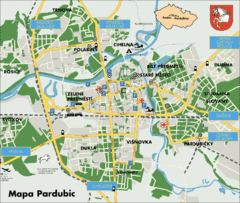
Pardubice Tourist Map
Tourist map of Pardubice, Czech Republic
196 miles away
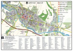
Liptovsky Mikulas Tourist Map
Tourist map of Liptovsky Mikulas, Slovakia
197 miles away
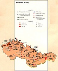
Czechoslovakia Economic Activity Map
Map of economic activity throughout region
200 miles away
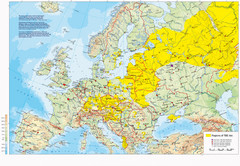
Incidents of Tick Borne Encephalitis in Europe...
Map of Tick Borne Encephalitis Endemic Areas
200 miles away
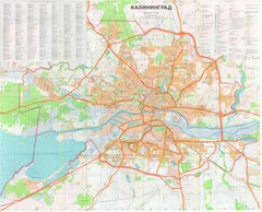
Kaliningrad 1:27000 Map
201 miles away
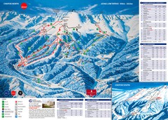
Jasná Ski Trail Map
Trail map from Jasná.
205 miles away
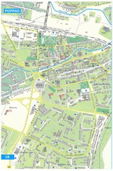
Poprad Tourist Map
Tourist map of Poprad, Slovakia. Shows points of interest.
205 miles away
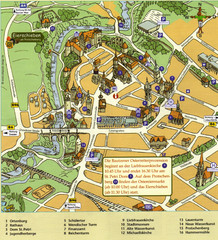
Bautzen Tourist Map
Tourist map of Bautzen town center
209 miles away

Elevation Profile for Klasik Route Map
Elevation Profile for Klasik Route Map for 2008 for Dubnicky Marathon
211 miles away
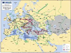
Proposed European Crude Oil Pipelines Map
Shows pan-European proposed priority axes for crude oil pipelines
211 miles away
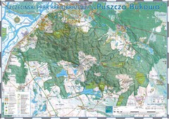
Map_Puszcza_Bukowa_Szczecin_PL.jpg Map
Map Map_Puszcza_Bukowa_Szczecin_PL.jpg is a tourist map made with an extensive use of GlobalMapper...
211 miles away
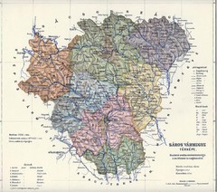
1910 Hungarian Map
Guide to historic Hungary, current Slovakia
214 miles away
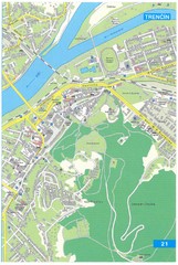
Trencin Tourist Map
Tourist map of Trencin, Slovakia. Shows points of interest.
215 miles away
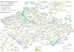
Elevation Railway Map of Czech Republic
Elevation of railways and main stations in Czech republic. Blue numbers show elevation of stations...
215 miles away
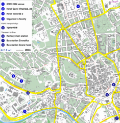
Czech Republic Tourist Map
Czech Republic Tourist Map. Includes roads, landmarks and street names.
215 miles away
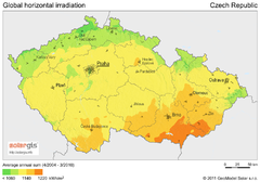
Solar Radiation Map of Czech republic
Solar Radiation Map Based on high resolution Solar Radiation Database: SolarGIS. On the Solar Map...
216 miles away
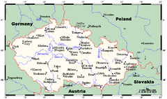
Czech Republic Tourist Map
216 miles away
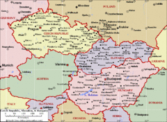
Czech Republic Tourist Map
216 miles away

