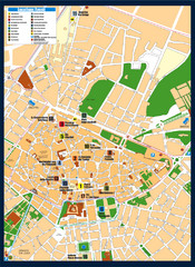
Lecce Tourist Map
Tourist map of historic center of Lecce, Italy. Shows points of interest.
310 miles away
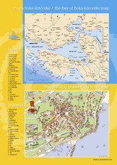
Boka Kotorska Bay and Herceg Novi Tourist Map
Tourist map of the bay of Boka Kotorska and old town Herceg Novi. In Croatian and English.
311 miles away
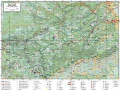
Samobor Region Cycling Route Map
Cycling route map for region west of Samobor, Croatia. Shows all routes in km
311 miles away
Enna Map
311 miles away
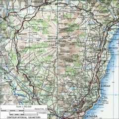
Mt Etna Topo Map
Topo map of Mount Etna in the Parco dell'Etna, Sicily. Highest mountain in Sicily at 10,902...
313 miles away
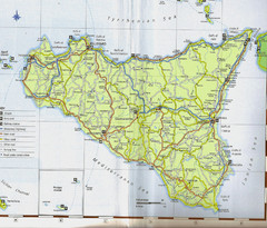
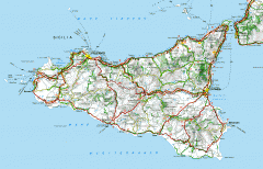
Sicily Map
314 miles away
Bay of Boka Map
315 miles away
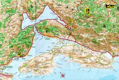
Kotor Bay Tourist Map
Tourist Map of Bay of Kotor, Montenegro.
316 miles away
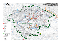
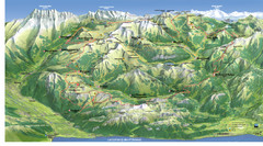
Triglav National Park Map
Triglav National Park is the only Slovenian national park. The park was named after Triglav, the...
316 miles away
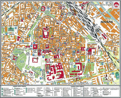
Novara Map
316 miles away
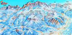
Latemar (Val di Fiemme, Obereggen) Ski Center...
Trail map from Latemar (Val di Fiemme, Obereggen), which provides downhill and nordic skiing. This...
316 miles away
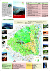
Monte Barro Map
316 miles away
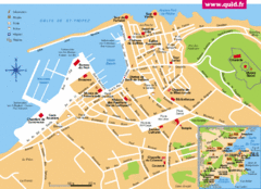
St. Tropez Tourist Map
Tourist map of Saint Tropez, France. Shows points of interest. Inset shows surrounding area.
317 miles away
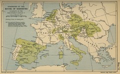
Dominions in the House of Habsburg - 1547...
317 miles away
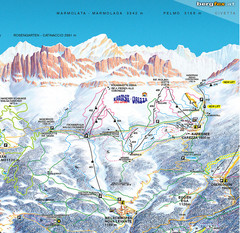
Welschnofen—Karersee (Carezza) Ski Trail Map
Trail map from Welschnofen—Karersee (Carezza), which provides downhill and nordic skiing. This...
317 miles away
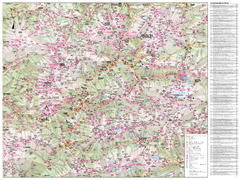
Val di Fassa Hiking Map
Hiking trail map of the Val di Fassa, Italy region. Highly detailed.
318 miles away
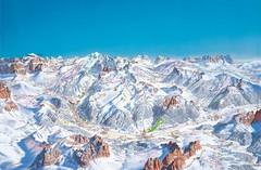
Canazei Campitello Ski Trail Map
Ski trail map of Canazei-Campitello area in the Italian Dolomites.
319 miles away

Saluzzo Map
319 miles away
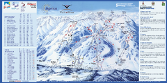
Aprica Ski Trail Map
Trail map from Aprica, which provides downhill skiing. This ski area has its own website.
319 miles away
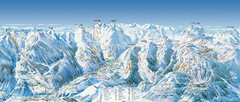
Val d’Allos—La Foux Ski Trail Map
Trail map from Val d’Allos—La Foux.
320 miles away
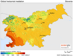
Solar Radiation Map of Slovenia
Solar Radiation Map Based on high resolution Solar Radiation Database: SolarGIS. On the Solar Map...
320 miles away
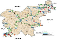
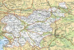
Slovenia Highways Map
320 miles away
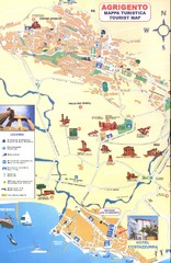
Agrigento Map
320 miles away
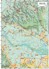
Sulta and Sava Croatia Cycling Route Map
the trails on this map are through picturesque hills to the confluence of the Sutla and Sava Rivers...
321 miles away
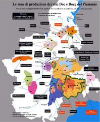
Piedmont Region Wine Map
Wine map of the Piedmont region in Italy. Shows production zones.
321 miles away
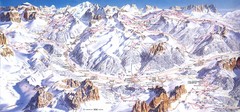
Campitello di Fassa Ski Map
321 miles away
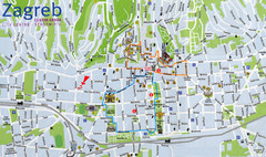
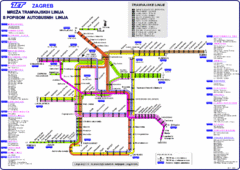
Zagreb Croatia Tourist Map
Zagreb City Centre Tourist map showing tourist attractions, hotels, tourist information and city...
321 miles away
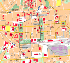
Zagreb Center Map
321 miles away
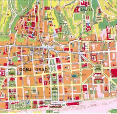
Zagreb Tourist Map
Tourist map of central Zagreb, Croatia. Shows major buildings.
321 miles away

Montenegro Coast Map
Panoramic map of the coast of Montenegro on the Adriatic Sea.
322 miles away
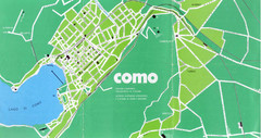
Como City Map
City map and historical sites of Como, Italy.
323 miles away
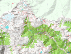
Val di Rabbi Topo Map
Detailed topographic map of Val di Rabbi, Italy on the edge of Stelvio National Park
324 miles away
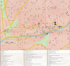
Sarajevo Downtown Map
Free tourist map of downtown Sarajevo from Sarajevo Navigator Brochure
324 miles away
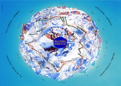
Sella Ronda Ski Tour Map
Shows ski mountaineering tour of Sella Ronda, a circular ski route leading around the mighty Sella...
324 miles away
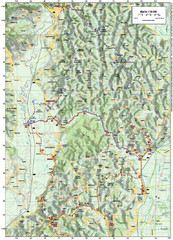
Villages and Sutla River Valley Bike Route Map
Bike routes and trails through the villages to the Sutla River Valley in Croatia. Note: The map...
324 miles away

