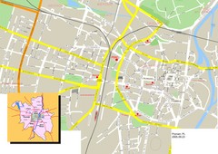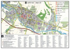
Liptovsky Mikulas Tourist Map
Tourist map of Liptovsky Mikulas, Slovakia
194 miles away
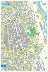
Kosice Tourist Map
Tourist map of Kosice, Slovakia. Shows points of interest.
196 miles away
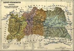
1910 Hungarian Map
Guide to area of Slovakia, previously part of Hungary
197 miles away
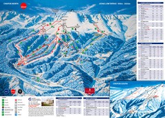
Jasná Ski Trail Map
Trail map from Jasná.
202 miles away
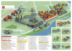
Wroclaw University of Technology Campus Map
205 miles away
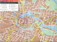
Wroclaw Tourist Map
Tourist map of central Wrocław, Poland. Shows points of interest.
206 miles away
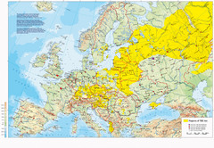
Incidents of Tick Borne Encephalitis in Europe...
Map of Tick Borne Encephalitis Endemic Areas
212 miles away
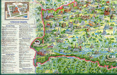
Western Belarus Tourist Map
Illustrated tourist map of western Belarus from book. Shows points of interest.
214 miles away
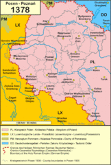
1378 Posen Map
214 miles away
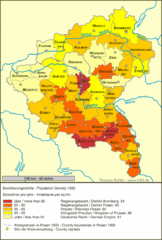
Posen Population Map
214 miles away
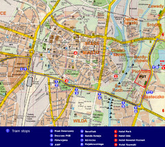
Poznan City Map
City map of Poznan with Tram stops and hotels
214 miles away
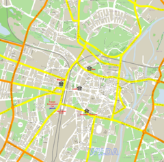
Poznan Street Map
Street map of Poznan, Poland.
214 miles away
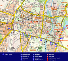
Poznan Tourist Map
Tourist map of central Poznan, Poland. Shows tram stops, hotels, and other points of interest.
214 miles away
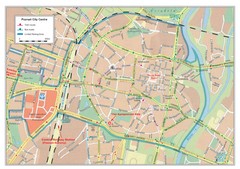
Poznan City Map
City map of center of Poznan, Poland. Shows bus and tram routes.
214 miles away
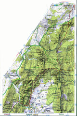
Sulovske vrchy Map
215 miles away
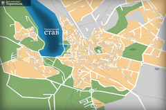
Ternopil_ukr Map
218 miles away
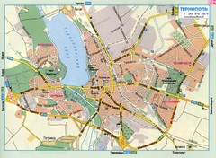
Ternopil Ukraine Map
218 miles away
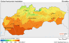
Solar Radiation Map of Slovakia
Solar Radiation Map Based on high resolution Solar Radiation Database: SolarGIS. On the Solar Map...
218 miles away
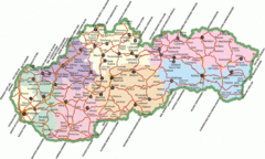
Slovakia Map
218 miles away
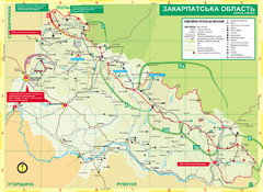
Transcarpathia Hiking Trail Map
Map of the Transcarpathia Hiking Trail (THT) in Ukraine. Trail runs through the territory of...
221 miles away
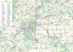
mapa rowerowa okolice leszna Map
222 miles away
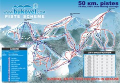
Bukovel Ski Resort Map
Map of Bukovel's slopes, lifts and resort
224 miles away
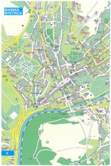
Banska Bystrica Tourist Map
Tourist map of central Banska Bystrica, Slovakia. Shows points of interest. Scanned.
225 miles away
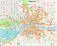
Kaliningrad 1:27000 Map
225 miles away
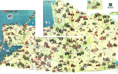
Kalinigrad region tourist map
226 miles away
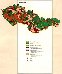
Czechoslovakia Land Use Map
Map of Czechoslovakia region land use
227 miles away
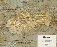
Slovakia country map
Map of Slovakia with surrounding countries. Shows boundaries, major cities, and shaded with...
231 miles away
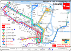
Gdansk Tram Route Map
Shows tram routes in Gdansk, Poland
234 miles away
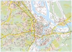
Gdansk Tourist Map
Tourist map of central Gdansk, Poland. Shows points of interest.
234 miles away
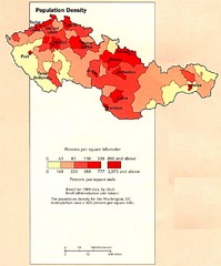
Czechoslovakia Population Density Map
Map of Czechoslovakia's population density
239 miles away

Elevation Profile for Klasik Route Map
Elevation Profile for Klasik Route Map for 2008 for Dubnicky Marathon
240 miles away
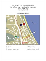
Eastern Sopot Map
241 miles away
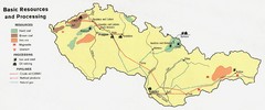
Czechoslovakia Resources Map (1974)
Map of 1974 Czechoslovakia resources
244 miles away
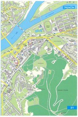
Trencin Tourist Map
Tourist map of Trencin, Slovakia. Shows points of interest.
246 miles away
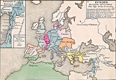
Old Map of Europe - 12th century
247 miles away
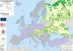
National Ecological Networks of European...
Shows core areas and ecological corridors in European countries with Ecological Network plans. By...
247 miles away
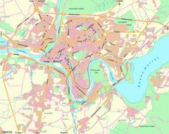
Kaunas Map
City map of Kaunus, Lithiania
249 miles away
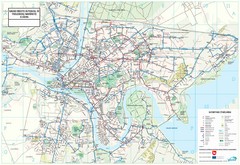
Kaunas City Map
249 miles away
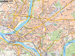
Kaunas Tourist Map
Tourist map of central Kaunas, Lithuania. Shows points of interest.
249 miles away

