Göttingen City Map
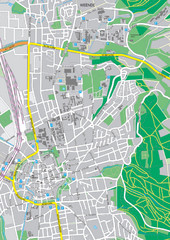
City map of Göttingen, Germany
508 miles away
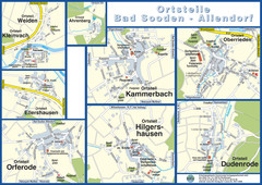
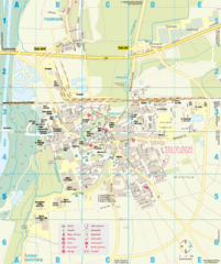
Bad Sooden-Allendorf Towns Map
Street maps of towns within the Bad Sooden-Allendorf region
508 miles away
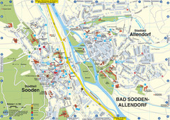
Sooden-Allendorf Map
Street map of Sooden and Allendorf
508 miles away
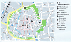
Gottingen Map
508 miles away
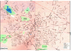
Craiova Tourist Map
Tourist map of Craiova, Romania. Shows points of interest. Scanned.
508 miles away
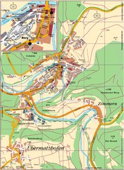
Pappenheim Map
Street map of Pappenheim
509 miles away
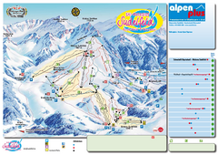
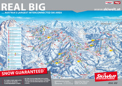
Sudelfeld Ski Trail Map
Trail map from Sudelfeld.
510 miles away
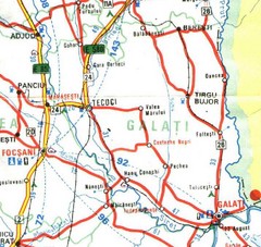
Galati Map
510 miles away
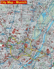
Munich City Map
City map of Munich, Germany
510 miles away
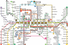
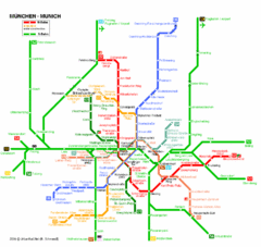
Munich Metro Map
Metro map of Munich, Germany. In German.
510 miles away
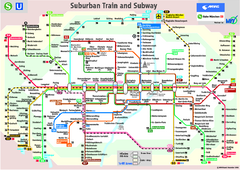
Munich public transportation system Map
This MVV network map, probably the best known one, shows all lines and stops for the urban rail and...
510 miles away
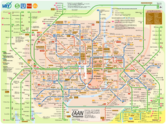
Munich Public Transportation Map
510 miles away
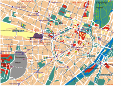
Munich Tourist Map
Tourist map of central Munich (München), Germany.
510 miles away
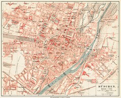
Munich Map
510 miles away
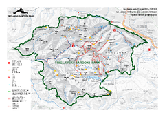
Triglav National Park Map
Triglav National Park is the only Slovenian national park. The park was named after Triglav, the...
510 miles away
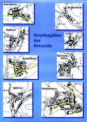
Treuchtlingen Districts Map
Street map of districts within the Treuchtlingen region
511 miles away
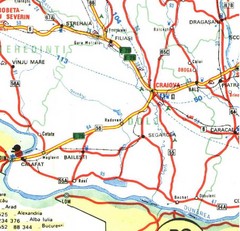
Dolj Map
511 miles away
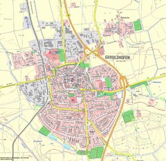
Gerolzhofen Map
Detailed street map of Gerolzhofen
511 miles away
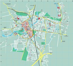
Dachau City Map
City street map of Dachau
511 miles away
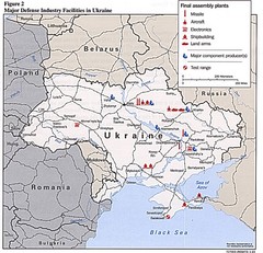
Ukraine Defense Facilities Map
Map of major defense industry facilities throughout Ukraine
511 miles away
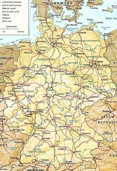
Germany Map
Map of Germany showing roads, railways and cities.
512 miles away
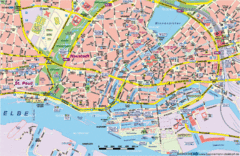
Hamburg Street Map
Street map of central Hamburg, Germany. Shows many canals.
513 miles away
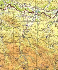
Banja Luka Region Map
513 miles away
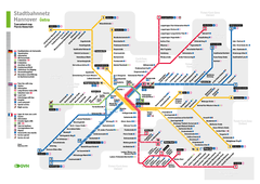
Hannover, Nahverkehr Map
515 miles away
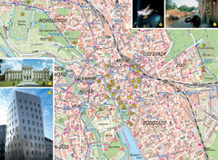
Hannover Tourist Map
Tourist map of central Hannover, Germany. Shows points of interest and some photos.
515 miles away
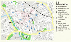
Hannover Map
515 miles away
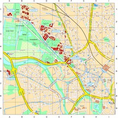
Leibniz Universität Hannover Map
Campus map of the Leibniz Universität Hannover in Hannover, Germany. All school buildings...
515 miles away
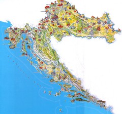
Tourist Map of Croatia
515 miles away
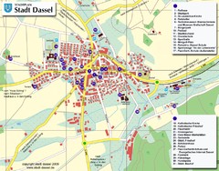
Dassel Tourist Map
Tourist street map of Dassel
517 miles away
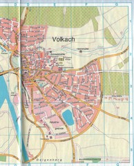
Volkach Map
Street map of town of Volkach
517 miles away
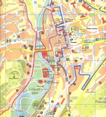
Bad Kissingen Tourist Map
Tourist map of Bad Kissingen
517 miles away
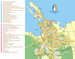
Haapsalu Tourist Map
Tourist street map of Haapsalu
517 miles away
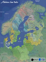
Baltic Sea River Basins Map
Map of the river basins feeding the Baltic Sea from the surrounding countries in Coalition Clean...
517 miles away
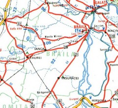
Braila Map
518 miles away
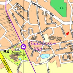
Quickborn Center Map
Street map of Quickborn town center
519 miles away
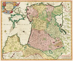
Estonia 1705 Map
519 miles away
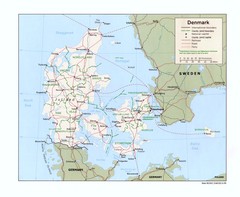
Denmark Map
Map of Denmark showing cities, roads, railroads, and Ferry routes
519 miles away

