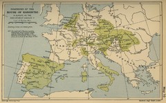
Dominions in the House of Habsburg - 1547...
483 miles away
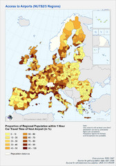
Travel Times to Airports in Europe Map
Shows proportion of car travel time to nearby airports across Western Europe
484 miles away
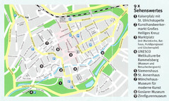
Goslar Map
484 miles away
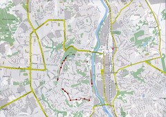
Smolensk Map
485 miles away
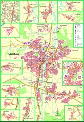
Mainburg Map
Street map of Mainburg city and surrounding region
485 miles away
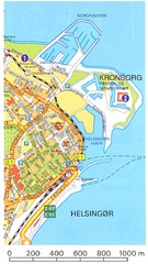
Helsingor - Krongborg Castle Map
485 miles away
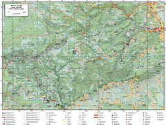
Samobor Region Cycling Route Map
Cycling route map for region west of Samobor, Croatia. Shows all routes in km
486 miles away
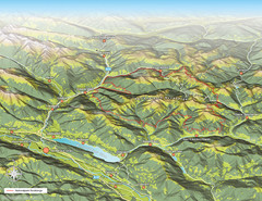
Nockberge National Park Map
Outline map of Nockberge National Park, Austria in the summer. Shows surrounding towns.
487 miles away
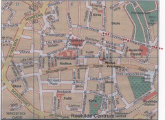
Roskilde Town Map
487 miles away
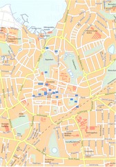
Roskilde Map
487 miles away
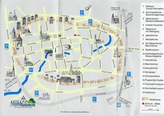
Muhlhausen City Map
City map of Muhlhausen with attractions.
487 miles away
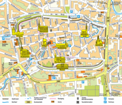
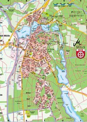
Mühlhausen Tourist Map
Tourist street map of Mühlhausen
487 miles away
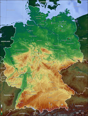
Germany Topo Map
Topographical map of Germany. Shaded by elevation in meters. Also shows major German cities.
488 miles away
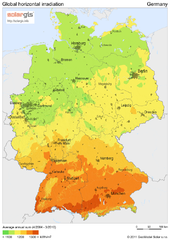
Solar Radiation Map of Germany
Solar Radiation Map Based on high resolution Solar Radiation Database: SolarGIS. On the Solar Map...
488 miles away
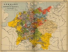
Germany 1519 Historical Map
488 miles away
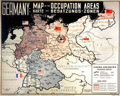
Occupation Areas of Germany after 1945 Map
This was an actual poster to be shown in the occupied Germany after the WWII.
488 miles away
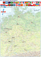
Germany Football World Cup 2006 Map
Shows football (soccer) cities in the 2006 World Cup hosted by Germany.
488 miles away
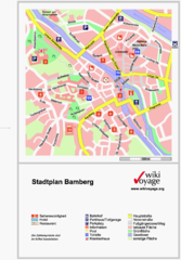
Bamberg Tourist Map
Tourist map of downtown Bamberg
488 miles away
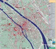
Bamberg City Map
City map of Bamberg, Germany
488 miles away
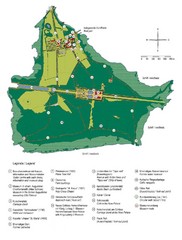
Chiemsee Island Germany Tourist Map
Tourist map of the island showing all the tourist sites.
489 miles away
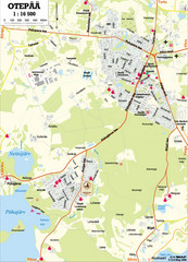
Otepaa City Map
489 miles away
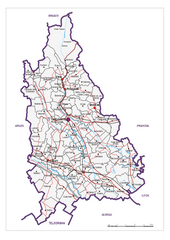
Dambovita County, Romania Map
Administrative map of Dambovita County, Romania. The map shows, also, all important roads.
490 miles away
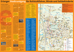
Erlangen Tourist Map
Tourist street map of Erlangen
490 miles away
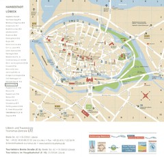
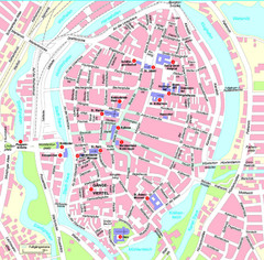
Luebeck Tourist Map
Street tourist map of city center
490 miles away
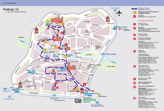
Nuremberg Tourist Map
Tourist map of old city Nuremberg, Germany. Shows tourist points of interest and a tourist walking...
490 miles away
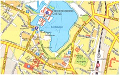
Frederiksborg Castle - Hillerod Map
491 miles away
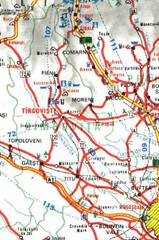
Dimbovita Map
491 miles away
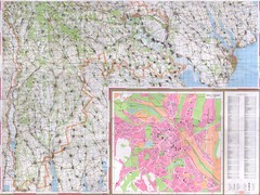
Moldova Topographical Map - South
Detailed topo map of southern Republic of Moldova. In Ukrainian. Inset shows detailed view of...
491 miles away
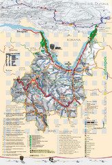
Majdanpek Tourist Map
Tourist map of municipality of Majdanpek, Serbia. Shows points of interest. In Serbian.
492 miles away
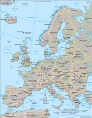
Europe Physical Map
492 miles away
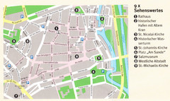
Luneburg Map
492 miles away
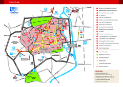
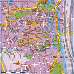
Luneburg Tourist Map
Tourist street map of Luneburg
492 miles away
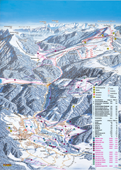
Reit im Winkl Ski Trail Map
Trail map from Reit im Winkl.
493 miles away
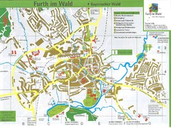
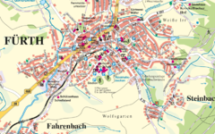
Furth Tourist Map
Tourist street map of Furth
494 miles away
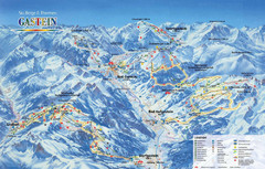
Gastein Ski Trail Map
Ski trail map of the Gastein Valley in Austria. Shows lift systems from Bad Gastein, Bad...
494 miles away
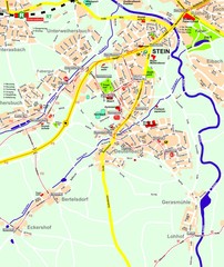
Stein Map
Street map of Stein and surrounding region
494 miles away

