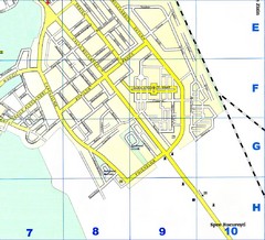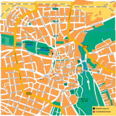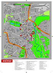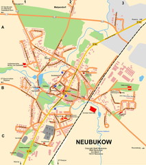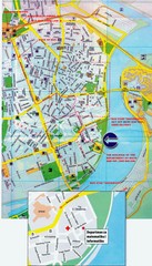
Novi Sad City Map
City map of central Novi Sad, Serbia. Bus route to a conference drawn on top of scanned map.
443 miles away
Brasov Map
444 miles away
Rostok Region Tourist Map
446 miles away
Chisinau City Map
Tourist map of capital city
447 miles away
Doberan Map
Street map of city of Doberan
447 miles away
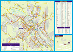
Chisinau Public Transportation Map
Public Transportation map of Chisinau, Moldova with street index. Shows bus routes. Inset of...
447 miles away
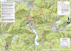
Central Austria Hiking Map
Large map of hiking and emergency services.
453 miles away
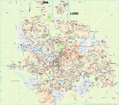
Lund Map (swedish)
453 miles away
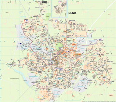
Lund City Map
City map of Lund, Sweden. Shows transportation lines.
454 miles away
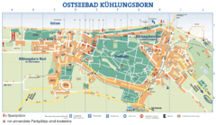
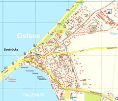
Kühlungsborn Map
Map of Kühlungsborn
455 miles away
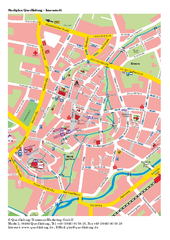
Quedlinburg Map
Street map of town of Quedlinburg
455 miles away
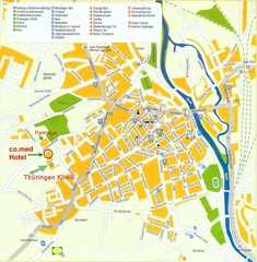
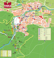
Saalfeld Tourist Map
Tourist street map of Saalfeld
455 miles away
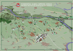
Indija Tourist Map
Tourist map of municipality of Indija, Serbia
455 miles away
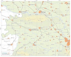
Urban areas in Srem region (Vojvodina, Serbia) Map
Srem is a part of Vojvodina province between river Sava and Danube. Largest places are Sremska...
455 miles away
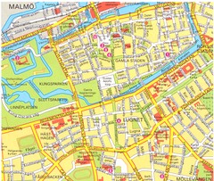
Malmo 1 Map
456 miles away
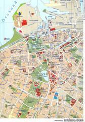
Malmo City Map
City map of central Malmö, Sweden.
456 miles away
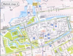
Malmo 2 Map
456 miles away
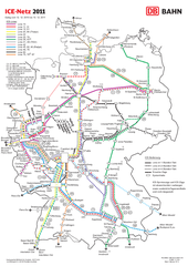
D ICE Netz Map
457 miles away
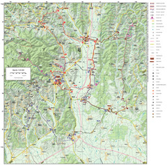
Zagreb County Cycling Route Map
Shows a cycling route in Zagreb County, Croatia. From the Roman “Magna Vie” near Komin...
458 miles away
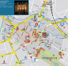
Bayreuth Tourist Map
Tourist map of Bayreuth town center
458 miles away
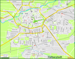
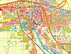
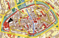
Halberstadt Map
Street map of Halberstadt town
459 miles away
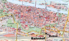
Regensburg Tourist Map
Tourist map of Regensburg city center
460 miles away
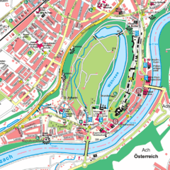
Burghausen Tourist Map
Tourist street map of Burghausen
460 miles away
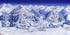
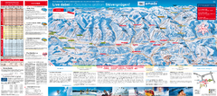
Planai-Hochwurzen Ski Trail Map
Trail map from Schladming.
461 miles away
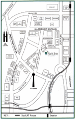
Kuala Lumpur Hotel Map
462 miles away

Central Balkan Map
Countries in Central Europe
463 miles away
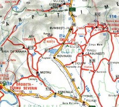
Gorj Map
465 miles away
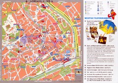
Erfurt Tourist Map
Tourist map of Erfurt, Germany. Shows points of interest. In German. Scanned.
465 miles away

