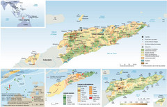
East Timor Map
Four part map shows biomes, offshore Kelp oil deposits, languages, and topology of East Timor
1188 miles away

Denmark, Western Australia East District Guide Map
The eastern district of Denmark, Western Australia
1190 miles away

Denmark, Western Australia Guide Map
Locations and areas in Denmark, Western Australia
1190 miles away
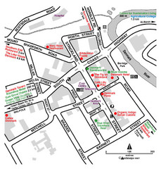
Denmark Western Australia Tourist Map
Tourist map of town of Denmark, Western Australia. Shows accommodations and restaurants.
1190 miles away
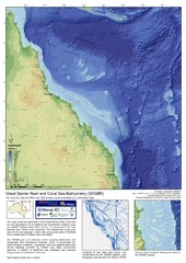
Great Barrier Reef and Coral Sea Bathymetry Map
High resolution depth and elevation map of the Great Barrier Reef, Coral Sea and neighbouring...
1191 miles away
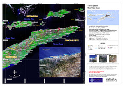
Timor-Leste map
1191 miles away
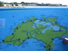
Rottnest Island Map
Tourist map of Rottnest Island, Australia. From photo.
1191 miles away
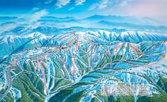
Mount Hotham Ski Trail Map
Trail map from Mount Hotham, which provides downhill, night, nordic, and terrain park skiing. It...
1195 miles away

Mount Hotham Ski Trail Map
Mount Hotham Alpine Resort ski trail map
1195 miles away
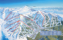
Falls Creek Ski Trail Map
Trail map from Falls Creek.
1195 miles away
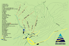
Ben Lomond Ski Trail Map
Trail map from Ben Lomond.
1198 miles away
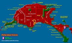
Phillip Island Tourist Map
Places of interest.
1199 miles away
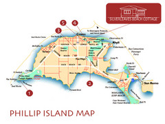
Phillip Island, Australia Beach Map
1202 miles away
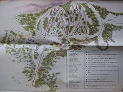
Mount Baw Baw Ski Trail Map
Trail map from Mount Baw Baw.
1202 miles away
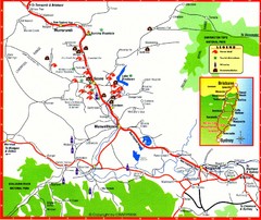
Upper Hunter Valley Tourist Map
Tourist map of Upper Hunter Valley around Muswellbrook, NSW, Australia. Shows horse studs, tourist...
1203 miles away
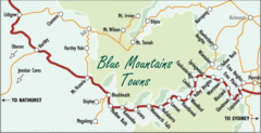
Blue Mountains' Towns Map
Simple map clearly marking each town in the Blue Mountain area.
1204 miles away
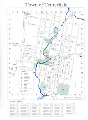
Tenterfield Town Map
1205 miles away
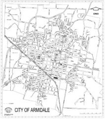
City Of Armidale Map
Large road map clearly marking streets throughout this wonderful city.
1208 miles away
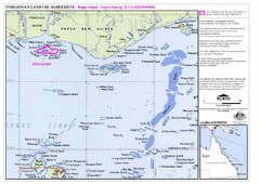
Torres Strait Land Use Map
Map of land use agreement for Boigu Island. Shows islands in the Torres Strait between Papua New...
1209 miles away
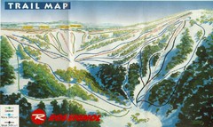
Selwyn Snowfields Ski Trail Map
Trail map from Selwyn snowfields.
1210 miles away
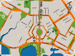
Canberra Hotels Map
1210 miles away
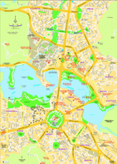
Canberra Street Map
1211 miles away
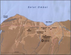
Dili Map
1212 miles away
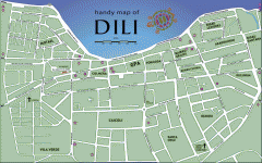
Dili Street Map
Street map of Dili, the capital of East Timor
1212 miles away
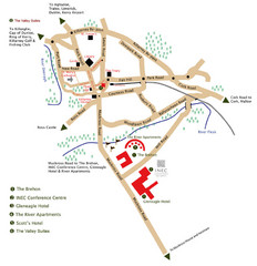
Killarney Tourist Map
1213 miles away
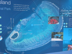
Lady Musgrave Island Map
Photo of map showing isliand and Lady Musgrave Reef
1214 miles away
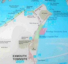
Exmouth, Australia Beach Map
1217 miles away
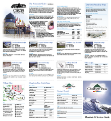
Charlotte Pass Ski Trail Map
Trail map from Charlotte Pass.
1221 miles away
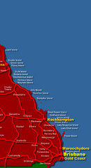
East Queensland Map
Map of East Queensland, Australia showing major roads, cities and islands.
1222 miles away
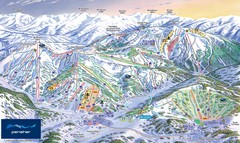
Perisher Ski Trail Map
Trail map from Perisher.
1223 miles away
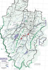
Boonah Shire Magpie Map
Road map of Boonah Shire, Australia. Shows locations of magpie encounters while road biking.
1231 miles away
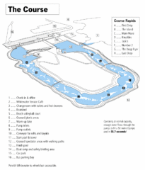
Penrith Whitewater Stadium Course Map
Whitewater rapids map of Penrith Whitewater Stadium, the competition venue for the canoe/kayak...
1233 miles away
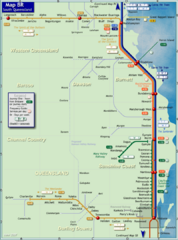
Southern Queensland Rail Map
Map of long-distance rail system throughout the Southern Queensland region
1234 miles away
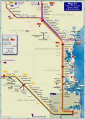
Hunter Valley Rail Map
Map of rail system throughout Hunter Valley, New South Wales Central Coast, and Blue Mountains
1240 miles away
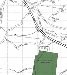
Maroochy Regional Bushland Botanic Garden in...
Map shows area surrounding the Maroochy Regional Bushland Botanic Garden in Tanawha, Queensland...
1249 miles away
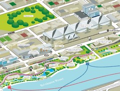
Brisbane South Bank Tourist Map
Tourist map of the Brisban South Bank Parklands. Shows Conference Centre and surrounding hotels...
1251 miles away
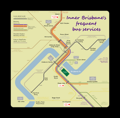
Inner Brisbane bus guide Map
1251 miles away
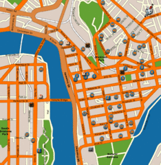
Brisbane Hotel Map
1251 miles away
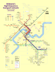
Brisbane frequent service guide Map
1251 miles away

