Western Australia State Barrier Fence Map
Map shows the Rabbit barrier fence built in 1901 in Burracoppin and Merredin just east of Perth.
1014 miles away
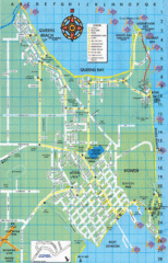
Bowen Map
Tourist street map
1014 miles away
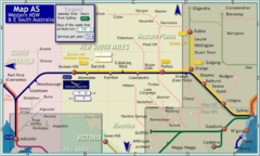
Western New South Wales Map
Map of long-distance rail system throughout Western New South Wales and East South Australia
1022 miles away
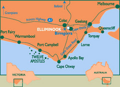
South Victoria, Australia Tourist Map
A major city map of South Victoria, Australia.
1026 miles away
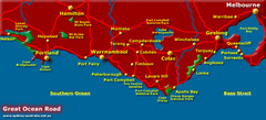
South Victoria, Australia Tourist Map
A major city map of Victoria, Australia.
1026 miles away
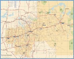
Wheatbelt Central Western Australia Map
Map of the central wheatbelt area near Merredin, Western Australia
1027 miles away
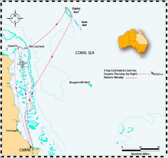
Coral Sea Map
The Coral Sea off the northeast coast of Australia
1044 miles away

Bruce Rock Town Map
1045 miles away
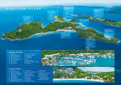
Hamilton Island, Australia Map
1050 miles away
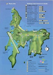
Hamilton Island Tourist Map
1050 miles away
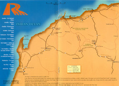
Karratha Road Map
Road Map shows all roads around Karratha, and the distances in Kilometers to other towns.
1054 miles away
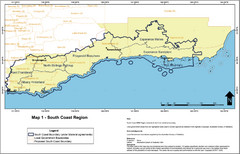
Australia South Coast Region Map
The South Coast region of Australia and proposed new boundaries by Natural Resources Management...
1063 miles away
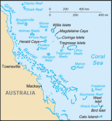
Coral Sea Islands Tourist Map
1068 miles away
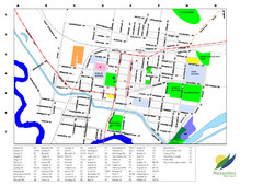
Narrandera Town Map
1070 miles away
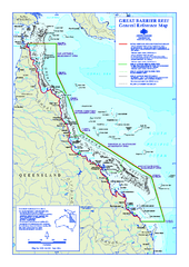
Great Barrier Reef Marine Park map
Official Great Barrier Reef Marine Park Authority general reference map of the Great Barrier Reef...
1074 miles away
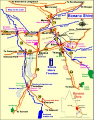
Banana Shire Tourist Map
Tourist map of Banana Shire region of Australia. Includes Biloela and Banana, Australia
1080 miles away
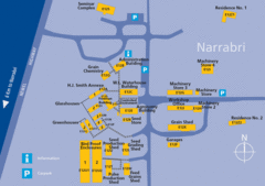
The University of Sydney, Narrabri Campus Map
1096 miles away
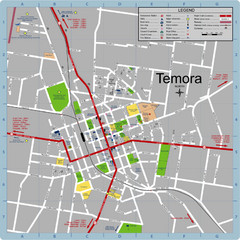
Temora Town Map
1103 miles away
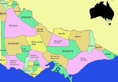
Victorian Aboriginal tribal and language areas Map
This is a map I created of aboriginal tribal territories and languages in Victoria, Australia...
1108 miles away
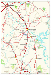
Wellington Region Road Map
Road map of region including Wellington, Dubbo, and Molong, Australia.
1109 miles away
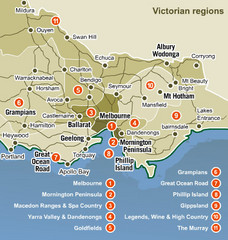
Victoria Map
Map of Victoria region with detail of districts
1122 miles away
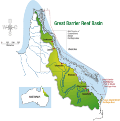
Great Barrier Reef Basin Map
1123 miles away
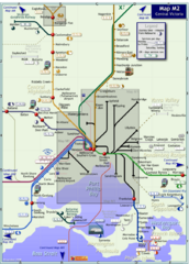
Central Victoria Rail Map
Map of rail system throughout Central Victoria region
1125 miles away
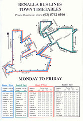
Benalla Bus Lines Map
Bus timetable and route map for town of Benalla
1128 miles away
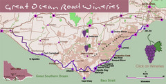
Wineries on Great Ocean Road, Australia Map
1130 miles away
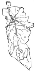
Wangaratta City Map
Map of Rural City of Wangaratta, Australia. Describes all roads, highways, rivers and towns.
1132 miles away
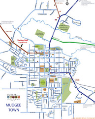
Mudgee Town Map
1142 miles away
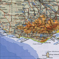
Great Ocean Road, Australia Tourist Road Map
A road map of Great Ocean Road in Southern Australia
1149 miles away
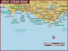
Great Ocean Road, Australia Tourist Map
A map of Great Ocean Road in Southern Australia
1149 miles away
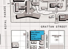
Alan Gilbert Bldg, University of Melbourne...
Map showing the location of the Alan Gilbert Building at the University of Melbourne, Australia.
1152 miles away
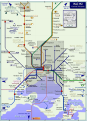
Melbourne Train Map
This map covers the region in the central part of the State of Victoria surrounding the city of...
1153 miles away
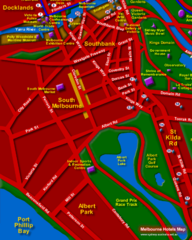
Melbourne Hotel Map
1153 miles away
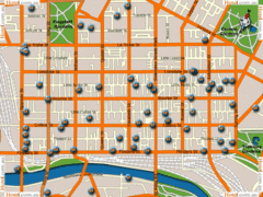
Melbourne Hotel Map
1153 miles away
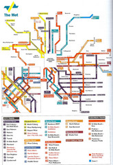
Melbourne Public Transportation Map
1153 miles away
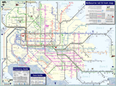
Melbourne, Australia Public Transportation Map
A detailed public transportation map of Melbourne, Australia.
1153 miles away
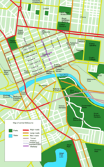
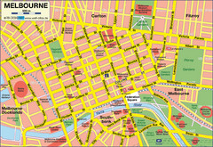
Central Melbourne, Australia Tourist Map
A map of landmarks and main roads in central Melbourne.
1153 miles away
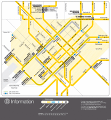
Melbourne, Australia Public Transportation Map
A map of tram service in Melbourne.
1153 miles away
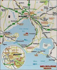
Greater and Central Melbourne, Australia Tourist...
1153 miles away


