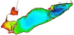
Lake Erie Depths Map
0 miles away
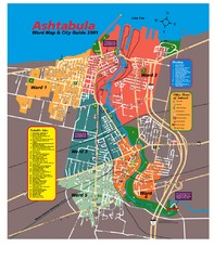
Ashtabula Tourist Map
Tourist map of Ashtabula, Ohio, situated on Lake Erie. Shows wards, notable sites, boating info...
13 miles away
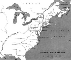
Colonial North America - 1689-1783 Historical Map
16 miles away
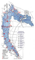
Pymatuning Lake State Park Fishing Map
Pymatuning Lake State Park fishing map
36 miles away
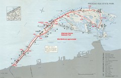
Erie Marathon Course Park Map
Map of marathon course and alternate course sidewalk trail for Erie Marathon in Presque Isle State...
37 miles away
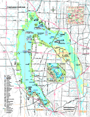
Pymatuning State Park Map
Recreation map for Pymatuning State Park in Pennsylvania
37 miles away
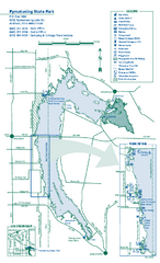
Pymatuning State Park Map
Detailed recreation map for Pymatuning State Park in Ohio
38 miles away

Presque Isle State Park map
Detailed recreation map for Presque Isle State Park in Pennsylvania
38 miles away
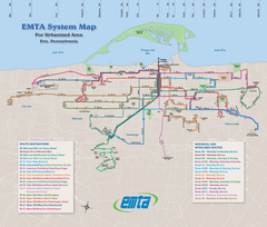
Erie Metro Bus routes Map
39 miles away
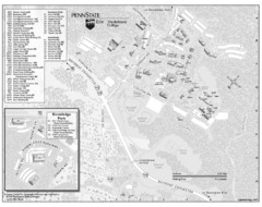
Penn State Erie Behrend College Campus Map
Campus map of Behrend College, Penn State Erie.
44 miles away
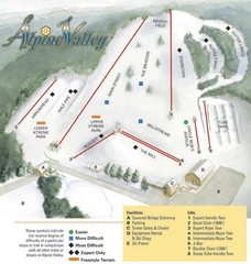
Alpine Valley Ski Area Ski Trail Map
Trail map from Alpine Valley Ski Area.
45 miles away

Allegheny College Map
Campus Map
46 miles away
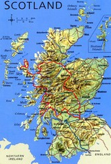
Scotland Tourist Map
46 miles away
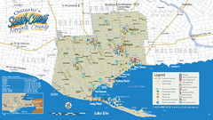
Norfolk County Tourist Map
Tourist map of Norfolk County, Ontario.
47 miles away
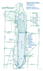
Mosquito Lake State Park map
Detailed recreation map for Mosquito Lake State Park in Ohio
48 miles away
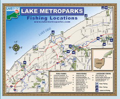
Lake Metroparks Fishing Map
53 miles away

Peak-N-Peek Ski Trail Map
Official ski trail map of Peak-N-Peek ski area
56 miles away
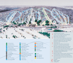
Peek’n Peak Ski Area Ski Trail Map
Trail map from Peek’n Peak Ski Area.
56 miles away
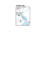
Findley Lake Map
Tourist map of Findley Lake, New York. Shows shops, lodging and hiking trails.
57 miles away
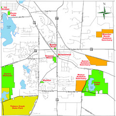
Aurora City Parks Map
Map of city parks in Aurora, Ohio.
58 miles away
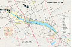
Maurice K. Goddard State Park map
Recreation map for Maurice Goddard State Park in Pennsylvania
59 miles away
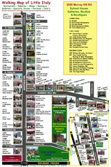
Little Italy Map
Walking tour map with labeled sites.
59 miles away
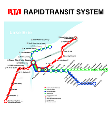
Cleveland Rapid Transit Map
59 miles away
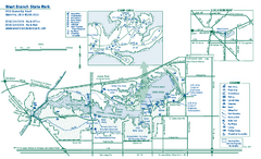
West Branch State Park map
Detailed recreation map for West Branch State Park in Ohio.
66 miles away

London Ski Club at Boler Mountain and Brochure...
Trail map from London Ski Club at Boler Mountain, which provides downhill skiing. This ski area has...
66 miles away
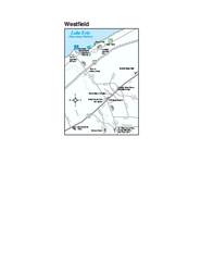
Westfield Map
Tourist map of Westfield, New York, and surrounding area. Shows shops, museums, boat ramps and...
67 miles away
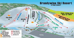
Boston Mills / Brandywine Ski Resort Brandywine...
Trail map from Boston Mills / Brandywine Ski Resort.
67 miles away
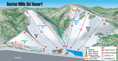
Boston Mills / Brandywine Ski Resort Boston Mills...
Trail map from Boston Mills / Brandywine Ski Resort.
67 miles away
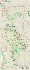
Cuyahoga Valley National Park Official Park Map
Official NPS map of Cuyahoga Valley National Park in Ohio. Map shows all areas. Cuyahoga Valley...
67 miles away
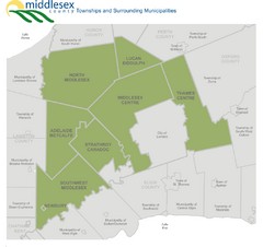
Middlesex County Map
Guide to Middlesex County and surrounds
68 miles away
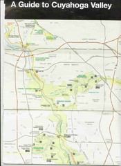
Cuyhoga National Park Map
68 miles away
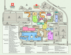
Fanshawe College Map
Campus map of London Campus
68 miles away
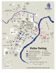
University of Western Ontario Map
Campus map
69 miles away
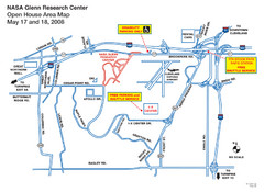
NASA Glenn Research Center Location Map
69 miles away
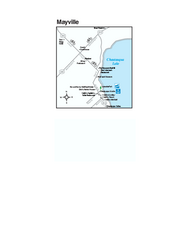
Downtown Mayville Map
Tourist map of Downtown Mayville, New York. Shows museums, restaurants, shops, government buildings...
70 miles away
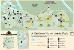
Waterworks Park Map
71 miles away
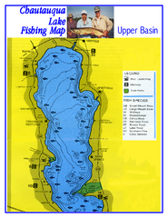
North Chautauqua Lake Fishing Map
Fishing map of northern Chautauqua Lake, New York. Shows marinas, boat ramps, state parks, and...
72 miles away
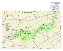
Oil Creek State Park map
Detailed recreation map for Oil Creek State Park in Pennsylvania
72 miles away
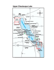
Upper Chautauqua Lake Map
Tourist map of upper Chautauqua Lake, New York. Shops, lodging, and other points of interest in the...
72 miles away

