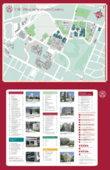
USC Health Sciences Campus Map
Campus map of Health Sciences at the University of Southern California. Includes Keck School of...
0 miles away
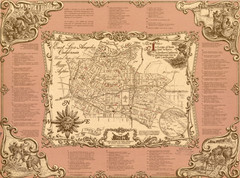
East Los Angeles Murals Map
The Goez Map Guide to the Murals of East Los Angeles, CA
2 miles away
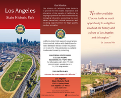
Los Angeles State Historic Park Map
Map of park with detail of trails and recreation zones
2 miles away
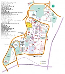
California State University, Los Angeles Map
California State University, Los Angeles Campus Map. All buildings shown.
2 miles away
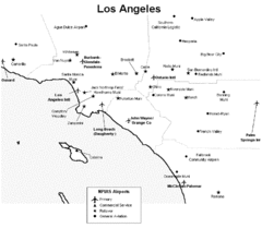
Los Angeles Airport Map
2 miles away
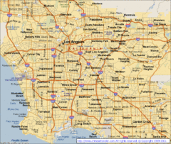
Los Angeles, California City Map
2 miles away
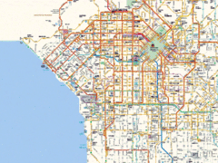
West Los Angeles Starbucks & Chase Map
2 miles away
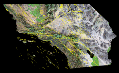
Southern California's Major Faults Map
As you can see by examining a fault map of southern California or a satellite image showing...
2 miles away
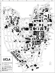
UCLA Map
2 miles away
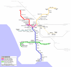
Los Angeles Train Map
2 miles away
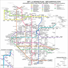
Los Angeles, California Public Transportation Map
2 miles away
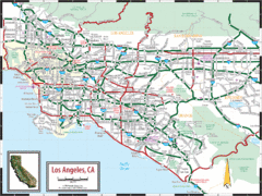
Los Angeles, California Transportation Map
2 miles away
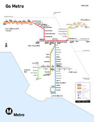
Los Angeles Metro Rail system map
Official map of the LA Metro Rail system. Comprised of the Metro Blue, Green, Red, Purple and Gold...
2 miles away

Downtown Los Angeles, California Map
Tourist map of Downtown Los Angeles, California. Shows theaters, museums, public transportation and...
2 miles away
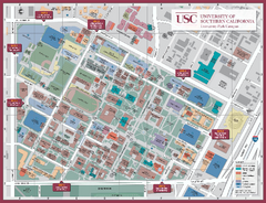
University of Southern California Map
Campus Map of the University of Southern California. All buildings shown.
2 miles away

Downtown L.A. walking tour map
Walking tour map of Downtoan Los Angeles near the Civic Center, including the Arts District.
2 miles away
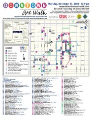
Downtown Art-Walk Map
The Downtown LA Art Walk, held every Thursday.
3 miles away
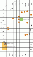
Downtown L.A. arts tour map
Self-Guided walking tour map of Downtown Los Angeles with a focus on the arts
3 miles away
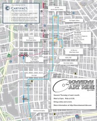
Artride Bicycle Map of Museums and Galleries
Map of a bicycle tour of the galleries and Museums in Downtown Los Angeles.
3 miles away
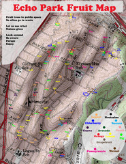
Elysian Park Fruit Map
Shows fruit growing in Elysian Park, Los Angeles (map erroneously calls it Echo Park)
3 miles away
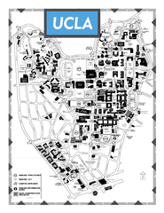
University of California - Los Angeles Map
Campus Map of the University of California - Los Angeles. All buildings shown.
4 miles away
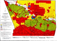
Los Angeles County Firearms Closure Area Map
This map shows where you can use archery, shotgun and rifle to hunt.
5 miles away
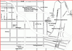
Hollywood, Silverlake, and Echo Park gallery map
Art Gallery map of Hollywood, Silverlake, and Echo Park in Los Angeles, California
5 miles away
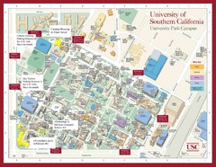
USC Campus Map
5 miles away
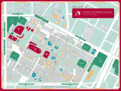
University of Southern California Campus Map
Campus map of the University Park Campus of University of Southern California (USC).
5 miles away
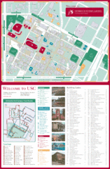
University of Southern California Map
USC campus map
5 miles away
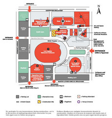
Exposotion Park Map
5 miles away
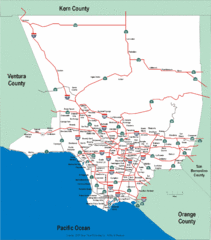
Los Angeles County Highway Map
Map of Los Angeles County highways and freeways.
6 miles away
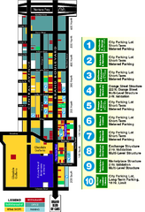
Downtown Glendale, California Map
Tourist map of downtown Glendale, California. Locations of retail, restaurants, entertainment and...
7 miles away
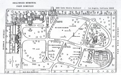
Hollywood Memorial Cemetery map
Map of Hollywood memorial Cemetery, showing celebrity gravesites.
7 miles away
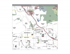
Hollywood, California Map
Tourist map of Hollywood, California. Museums, parks, visitor centers and media centers are shown...
7 miles away
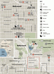
Hollywood map
Walking tour map of Hollywood, California, showing restaurants, shopping, and points of interest.
7 miles away
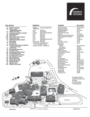
Glendale Community College Campus Map
Glendale Community College Campus Map. Shows all buildings.
7 miles away
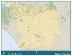
Ballona Wetlands Map
The Ballona Creek watershed, approximately 130 square miles, is the largest watershed draining into...
7 miles away
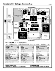
Pasadena City College Campus Map
Pasadena City College Campus Map. Shows all areas.
8 miles away
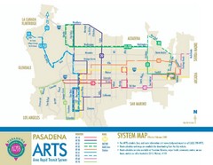
Pasadena ARTS (Area Rapid Transit System) Map
Pasadena A.R.T.S. (Metro) Route Map. System map of all train routes, streets and surrounding...
8 miles away
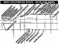
West Hollywood - Rock City News Map
Nightclubs, record stores, tattoo shops, etc.
9 miles away
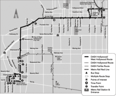
West Hollywood Area DASH Bus Routes Map
9 miles away
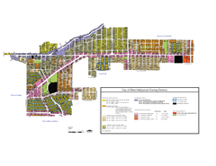
West Hollywood Zoning Map 10/08/09
9 miles away
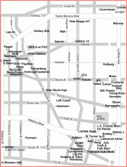
West Hollywood Art Gallery map
Art Gallery map of West Hollywood in Los Angeles
10 miles away


 Explore Maps
 Map Directory
