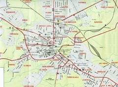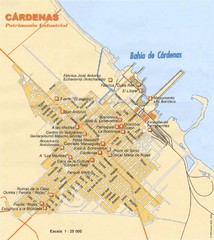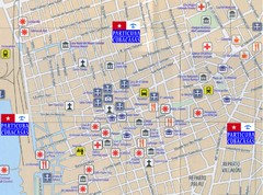
Santiago de Cuba Port and Center Map
Street tourist map of port and town center
1747 miles away

"Siego De Avila - CamagUey" Road Map
1747 miles away
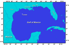
Gulf of Mexico Map
1748 miles away
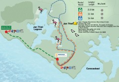
Jan Thiel Lagoon Mountain Biking Trail map
Mountain biking trail map of Jan Thiel Lagoon
1748 miles away
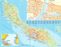
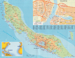
Curacao map
Map of all of Curacao with Willemstad inset. Shows all scuba dive spots
1749 miles away
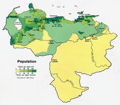
Venezuela Population Map
Map marking population per square mile.
1751 miles away
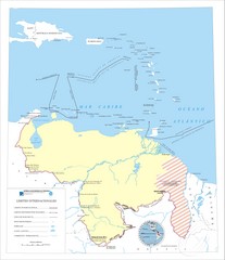
Official boundaries of Venezuela Map
All the official boundaries of Venezuela including the maritime ones.
1751 miles away
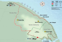
St. Joris Baai / Koraal Tabak Mountain Biking map
Mountain biking route map of the St. Joris Baai / Koraal Tabak area of Curacao.
1754 miles away
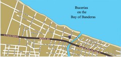
Bucerias, Mexico Tourist Beach Map
1755 miles away
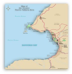
Puerto Vallarta Map
A JPG map of Puerto Vallarta. It shows the various developments in the larger area of Puerto...
1755 miles away
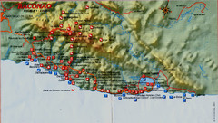
Baconao Map
1756 miles away

"SibanicU - Las Tunas" Road Map
1756 miles away

"Sagua La Grande - Santa Clara" Road Map
1757 miles away

Las Tunas Map
1758 miles away

Mapa de Cuba Map
1760 miles away
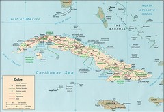
Cuba Country Tourist Map
1760 miles away

"Yaguajay - Falla" Road Map
1761 miles away
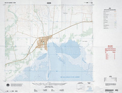
Aquin, Haiti Tourist Map
1762 miles away

"Santiago De Cuba - GuantAnamo" Road Map
1764 miles away

The Amazon Tourist Map
The Amazon in South America
1766 miles away
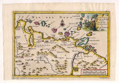
Antique Venezuela map
Very rare medium size map by Pieter van der Aa, published in his description of the Spanish...
1766 miles away
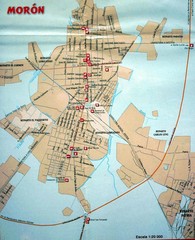
Moron Map
1767 miles away
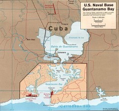
US Naval Base at Guantanamo Bay Map
Map of the area in Cuba that the US Navy leases, includes an airstrip and the Guantanamo Bay...
1774 miles away
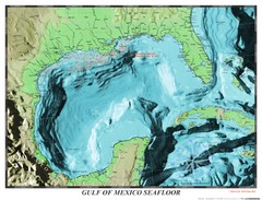
Gulf of Mexico sea floor Map
1779 miles away

Holguin Map
1779 miles away

"Sola - Camalote" Road Map
1779 miles away

Guantanamo Map
1779 miles away
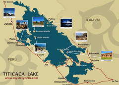
Lake Titicaca Map
1783 miles away
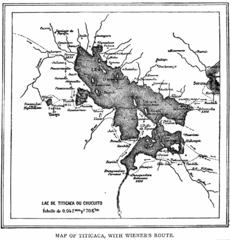
Lake Titicaca 1889 Map
1784 miles away
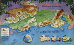
Venezuela from the North Map
Shows shaded relief of Venezuela with three thematic maps: population, states and physiograpy
1784 miles away
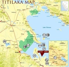
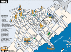
Puno / Juliaca Map
1785 miles away
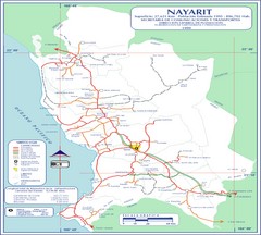
Nayarit Map
1785 miles away
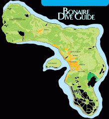
Bonaire tourist map
Tourist map of Bonaire island in the Netherland Antilles. Shows dive sites.
1785 miles away
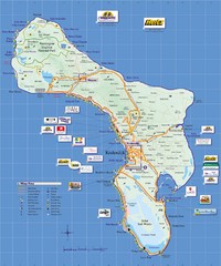
Bonaire Island Tourist Map
1787 miles away
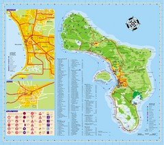
Bonaire Tourist Map
Tourist map of island of Bonaire. Shows points of interest and dive spots.
1788 miles away

"Holguin - Moa" Road Map
1789 miles away

