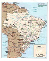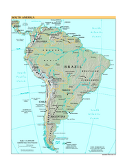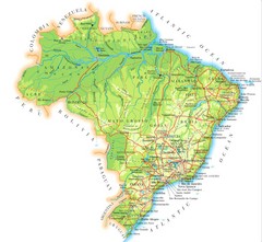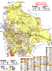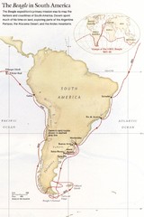
Darwin's South American Voyages 1831/36 Map
From National Geographic Magazine
0 miles away
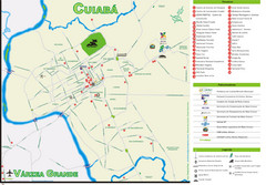
Cuiaba Tourist Map
Tourist street map of town
111 miles away
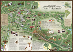
Chiquitania Region Tourist Map
Tourist map of the Mancomunidad Chiquitana or "Association of Chiquitano Peoples and...
401 miles away
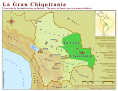
La Gran Chiquitania Map
462 miles away
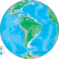
South America Globe Map
Guide to South America, in globe version, not flat
485 miles away
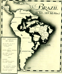
Europe inside of Brazil Map
A map from the '30s showing how Brazil could easily contain all the European countries without...
486 miles away
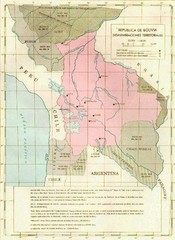
Alleged territorial losses of Bolivia Map
This Bolivian map shows all the alleged territorial losses.
501 miles away
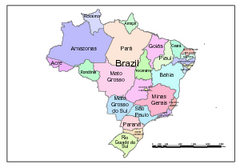
Brazil Map; Editable in Illustrator
Brazil Map, royalty free, fully editable with Illustrator. Mapsandlocations, a freelance company...
531 miles away
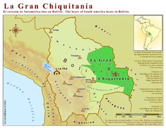
La Gran Chiquitania Map
Location map of the (Gran) Chiquitania region in Bolivia
586 miles away

Mississippi Airports Map
596 miles away
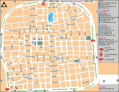
Santa Cruz Tourist Map
Tourist map of city center
603 miles away

Paraguay Map
607 miles away

Bolivia Detail Map, 1993 Map
610 miles away
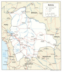
Bolivia Detail Map, 2006 Map
610 miles away
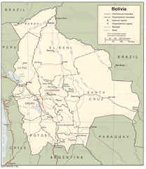
Bolivia Detail Map, 1986 Map
610 miles away
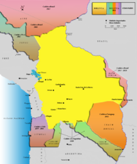
Alleged territorial losses of Bolivia Map v2.0
This another Bolivian map shows all the alleged territorial losses.
610 miles away

Paraguay Map
Map of Paraguay showing cities, roads, railroads and borders.
626 miles away
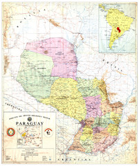
Official map of Paraguay
Official map of Paraguay, year 1993
626 miles away
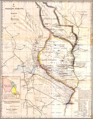
Wartime map of the Chaco
This 1933 map of the Chaco was made during the Chaco War between Paraguay and Bolivia and used by...
626 miles away
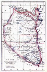
All the failed proposals to delimit the Chaco Map
Here you can see all the proposals to delimit the Chaco between 1879 and 1894. Everyone of them...
626 miles away
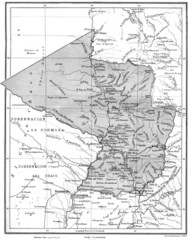
Map of Paraguay before the Chaco War
This is an internationally accepted map of Paraguay before the Chaco War (1932-35) made by Scottish...
626 miles away
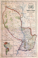
Map of Paraguay before the Chaco War
This dateless map of Paraguay that I scanned shows all the local claim over the Chaco (the northern...
626 miles away
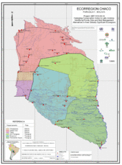
Ecological Region of the Chaco Map
This is the ecological Region of the Chaco shared between Paraguay and Bolivia
626 miles away
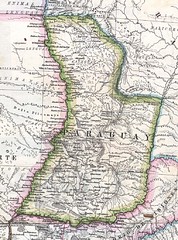
Paraguay Political Map 1875
Political map of Paraguay in 1875. Part of "Mapa Original de la Republica Argentina y Estados...
626 miles away

Paraguay political Map
636 miles away
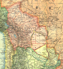
Bolivia and Paraguay in 1921 Map
1921 National Geographic Map of Bolivia and Paraguay before of the 1932-35 bloody war between those...
639 miles away
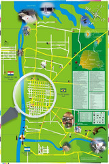
Iguacu Falls Tourist Map
Tourist map of Iguacu Falls, Brazil. Shows points of interest.
717 miles away
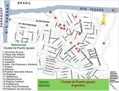
Puerto Iguazu Tourist Map
Tourist street map
719 miles away
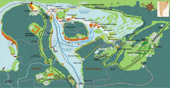
Iguazu National Park Map
Tourist map of park
722 miles away
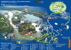
Iguasu Park Map
727 miles away

Parque Nacional Baritu Map
Map of park with detail of trails
748 miles away
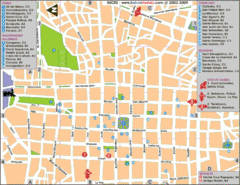
Downtown Sucre Map
Tourist street map of downtown Sucre
759 miles away
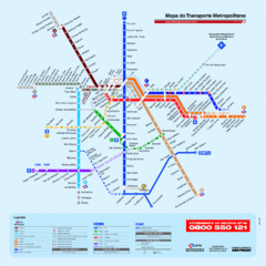
Metropolitan Transport of Sao Paulo Map
772 miles away

