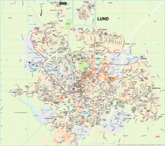
Lund Map (swedish)
443 miles away
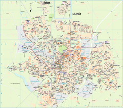
Lund City Map
City map of Lund, Sweden. Shows transportation lines.
443 miles away
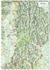
Villages and Sutla River Valley Bike Route Map
Bike routes and trails through the villages to the Sutla River Valley in Croatia. Note: The map...
443 miles away
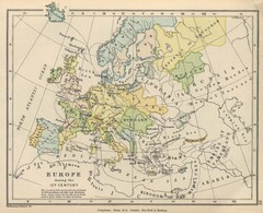
Europe 15th Century Colbeck Map
Europe during the 15th Century
444 miles away
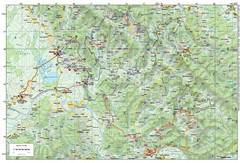
Bike Route starting in Ivanić-Grad Map
Bike route and trails through the cradle of Croatia’s oil drilling industry and the wondrous...
444 miles away
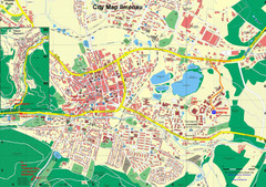
Ilmenau City Map
City map of Ilmenau, Germany
444 miles away
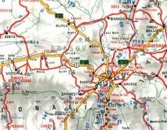
Brasov Map
444 miles away
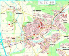
Rödental Map
Street map of city of Rödental
444 miles away
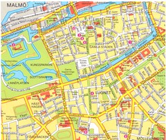
Malmo 1 Map
444 miles away
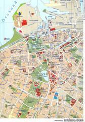
Malmo City Map
City map of central Malmö, Sweden.
444 miles away
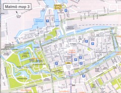
Malmo 2 Map
444 miles away
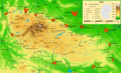
Harz Nature Park Map
Shaded relief map of Naturpark Harz.
445 miles away
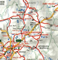
Covasna Map
445 miles away
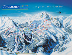
Turracher Höhe Ski Trail Map
Trail map from Turracher Höhe.
445 miles away
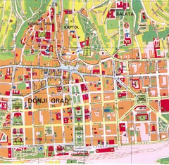
Zagreb Tourist Map
Tourist map of central Zagreb, Croatia. Shows major buildings.
446 miles away
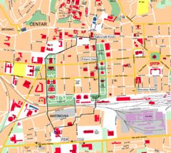
Zagreb Center Map
446 miles away
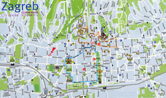
Zagreb Croatia Tourist Map
Zagreb City Centre Tourist map showing tourist attractions, hotels, tourist information and city...
446 miles away
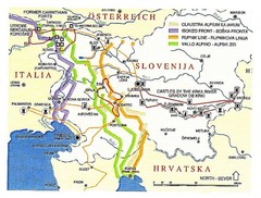
Slovenia Tour Map
447 miles away
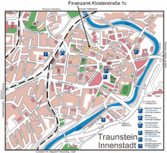
Traunstein Map
Street map of Traunstein
447 miles away
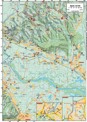
Sulta and Sava Croatia Cycling Route Map
the trails on this map are through picturesque hills to the confluence of the Sutla and Sava Rivers...
447 miles away
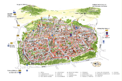
Neumarkt in der Oberpfalz Map
Tourist map of city center of Neumarkt in der Oberpfalz, Germany. In German
447 miles away

Slavonski Brod Tourist Map
Map of Slavonski Brod, Croatia showing streets, hotels, restaurants and tourist attractions.
449 miles away
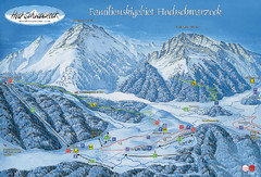
Berchtesgadener Land Ski Trail Map
Trail map from Berchtesgadener Land.
450 miles away
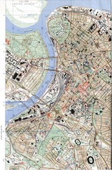
Belgrade Map
City map of Belgrade, Serbia (Beograd)
451 miles away

Arkabarka Hostel Location Map
451 miles away
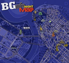
Belgrade Night Map
Tourist map of Belgrade, Serbia with recommendations for nightlife. Published quarterly in...
452 miles away
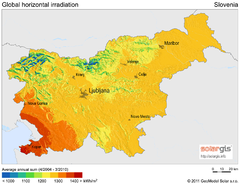
Solar Radiation Map of Slovenia
Solar Radiation Map Based on high resolution Solar Radiation Database: SolarGIS. On the Solar Map...
452 miles away
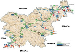
Slovenia Highways Map
452 miles away
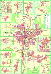
Mainburg Map
Street map of Mainburg city and surrounding region
452 miles away
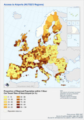
Travel Times to Airports in Europe Map
Shows proportion of car travel time to nearby airports across Western Europe
453 miles away
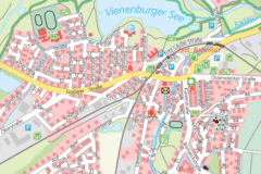
Vienenburg Center Map
Street map of town center
453 miles away
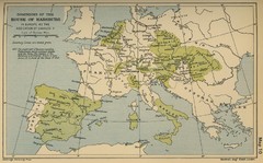
Dominions in the House of Habsburg - 1547...
453 miles away
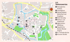
Wolfenbuttel Map
454 miles away

