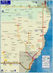
Northern New South Wales Map
Map of long-distance rail system throughout New South Wales and South East Queensland
451 miles away
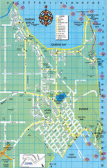
Bowen Map
Tourist street map
478 miles away
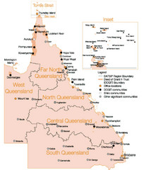
Queensland Map
Map of Queensland and Torres Strait islands
487 miles away
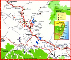
Upper Hunter Valley Tourist Map
Tourist map of Upper Hunter Valley around Muswellbrook, NSW, Australia. Shows horse studs, tourist...
512 miles away
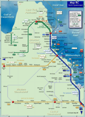
Northern Queensland Rail Map
Map of long-distance rail system throughout Northern Queensland
512 miles away

The Great North Walk Trail Map
The Great North Walk connects New South Wales’ two largest cities from the obelisk in...
545 miles away
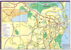
Newcastle Map
545 miles away
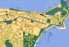
Newcastle City Map
City map of Newcastle
545 miles away
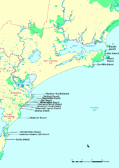
Hunter Ocean, Australia Beach Tourist Map
545 miles away
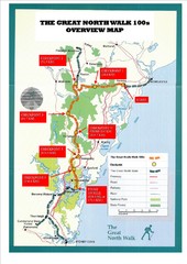
Great North Walk 100s Overview Map
Trail map for the Great North Walk 100's with distances and checkpoints marked
548 miles away
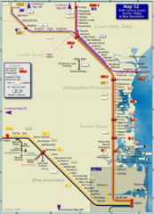
Hunter Valley Rail Map
Map of rail system throughout Hunter Valley, New South Wales Central Coast, and Blue Mountains
553 miles away
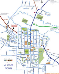
Mudgee Town Map
561 miles away
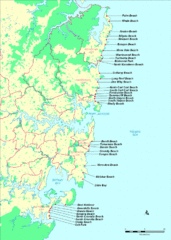
New South Wales, Australia Beach Tourist Map
564 miles away
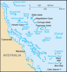
Coral Sea Islands Tourist Map
565 miles away
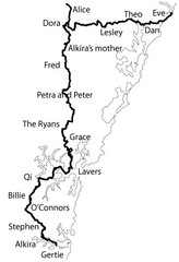
Family Histories in New South Wales Map
Treasure hunt a walker's comapnion's family hisotry around New South Wales. Experience...
569 miles away
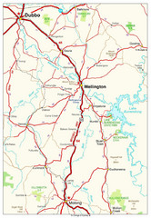
Wellington Region Road Map
Road map of region including Wellington, Dubbo, and Molong, Australia.
578 miles away
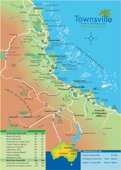
Townsville Map
Tourist map of Townsville
579 miles away
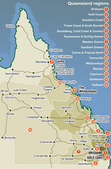
Queensland Map
Map of Queensland region with detail of districts
603 miles away
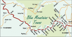
Blue Mountains' Towns Map
Simple map clearly marking each town in the Blue Mountain area.
605 miles away
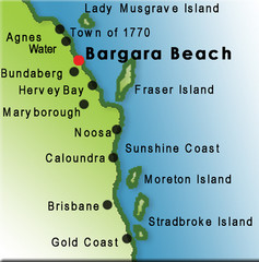
Bargara Beach, Australia Tourist Map
608 miles away
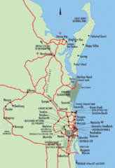
Queensland, Australia Beach Map
608 miles away
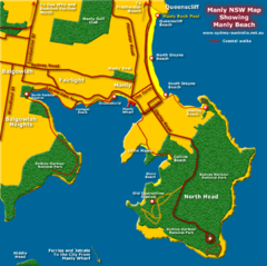
Manly Beach Map
610 miles away
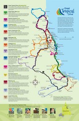
Townsville Regional Tourist Map
610 miles away
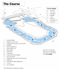
Penrith Whitewater Stadium Course Map
Whitewater rapids map of Penrith Whitewater Stadium, the competition venue for the canoe/kayak...
613 miles away
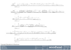
Woodhead Community Lifestyle Map
Elevation sections of the Blue Dolphin Joint Venture in North Sydney
613 miles away
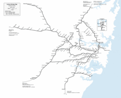
Sydney Railway Map
Sydney railway.
614 miles away
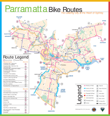
Parramatta Bike Route Map
615 miles away
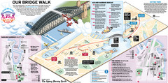
Sydney Harbour Bridge 75th Anniversary Walk Map
Map of Harbour Bridge 75th Anniversary Walk held on March 18, 2007
615 miles away
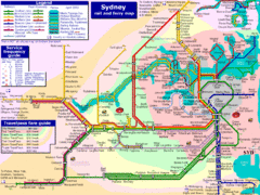
Sydney Rail and Ferry Map
Map of Sydney rail and ferry transit system
615 miles away
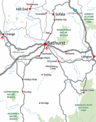
Bathurst District Map
Simple map marking the borders of Bathurst.
615 miles away
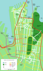
Sydney Central Business District Map
615 miles away
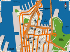
Sydney Hotel Map
615 miles away
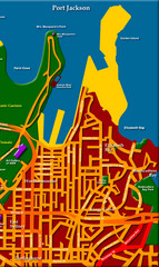
Sydney City Map
City map of Sydney: Kings Cross to Central
615 miles away
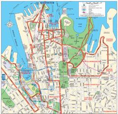
Sydney City Map
City Map of Sydney with tourist information
615 miles away
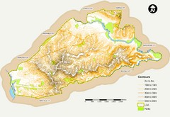
Canterbury Contour Map
The above map, which has lines marked to indicate points or areas that are the same elevation above...
615 miles away
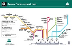
Sydney Ferries Map
Map of Sydney Ferry system with details of lines and stops
615 miles away
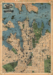
Robinson’s map of Sydney, Australia (1922)
Fun-looking and quite expertly-rendered overhead map of Australia's most populous city: Sydney...
615 miles away
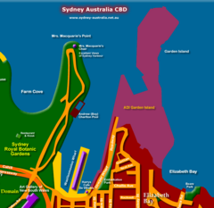
Sydney, Australia Beach Map
615 miles away
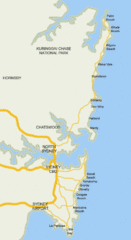
Sydney, Australia Beach Map
615 miles away

