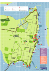
Fraser Island Map
0 miles away
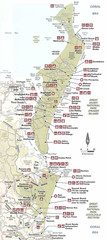
Campground Map Great Sandy National Park
10 miles away
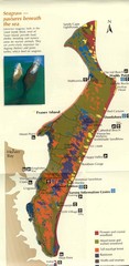
Fraser Island Map
Shows vegetation on Fraser Island, Australia the largest sand island in the world.
10 miles away
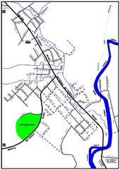
Mount Perry Tourist Map
Tourist map of town of Mount Perry, Australia
101 miles away
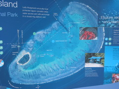
Lady Musgrave Island Map
Photo of map showing isliand and Lady Musgrave Reef
101 miles away
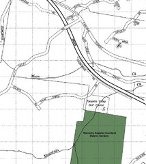
Maroochy Regional Bushland Botanic Garden in...
Map shows area surrounding the Maroochy Regional Bushland Botanic Garden in Tanawha, Queensland...
109 miles away
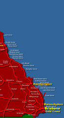
East Queensland Map
Map of East Queensland, Australia showing major roads, cities and islands.
109 miles away
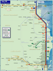
Southern Queensland Rail Map
Map of long-distance rail system throughout the Southern Queensland region
117 miles away
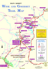
South Burnett Trail Map
Wine and gourmet trail map
119 miles away
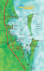
Moreton Bay, Australia Beach Map
146 miles away
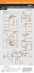
Brighton Transit Map
149 miles away
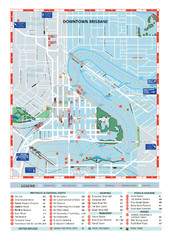
Downtown Brisbane Map
My Travel Maps: travel maps
161 miles away
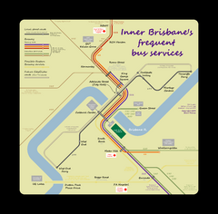
Inner Brisbane bus guide Map
161 miles away
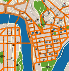
Brisbane Hotel Map
161 miles away
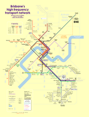
Brisbane frequent service guide Map
161 miles away
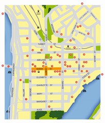
Brisbane City Map
City map of Brisbane with reference to architecture.
161 miles away
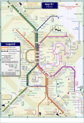
Brisbane Rail Map
Map of rail transit system in Brisbane
161 miles away
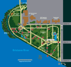
Brisbane City Botanic Gardens Map
Map of Brisbane City Botanic Gardens with suggested walking trail
161 miles away
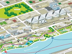
Brisbane South Bank Tourist Map
Tourist map of the Brisban South Bank Parklands. Shows Conference Centre and surrounding hotels...
162 miles away
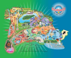
Dreamworld Visitor Map
Dreamworld amusement park visitor map.
188 miles away
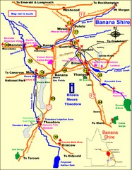
Banana Shire Tourist Map
Tourist map of Banana Shire region of Australia. Includes Biloela and Banana, Australia
191 miles away
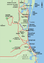
Gold Coast, Australia Beach Map
197 miles away
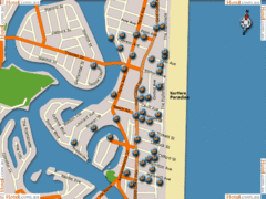
Surfers Paradise Hotel Map
198 miles away
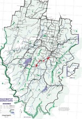
Boonah Shire Magpie Map
Road map of Boonah Shire, Australia. Shows locations of magpie encounters while road biking.
209 miles away
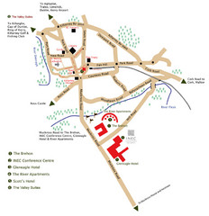
Killarney Tourist Map
228 miles away
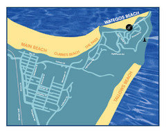
Wategos Beach, Australia Beach Map
242 miles away
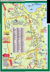
Byron Bay Tourist Map
243 miles away
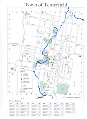
Tenterfield Town Map
280 miles away
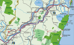
Clarence River Tourist Map
Clarence River in New South Wales, Australia shows cities, roads, tourist information and parks.
306 miles away
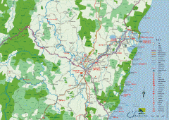
Clarence Valley Tourist Map
Detailed map of the Clarence Valley in New South Wales, Australia. Shows major and minor roads...
315 miles away
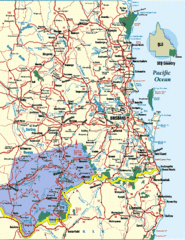
South East Queensland Map
A detailed map of the South East portion of Queensland, Australia, including Brisbane.
321 miles away
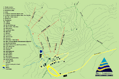
Ben Lomond Ski Trail Map
Trail map from Ben Lomond.
351 miles away
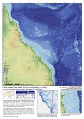
Great Barrier Reef and Coral Sea Bathymetry Map
High resolution depth and elevation map of the Great Barrier Reef, Coral Sea and neighbouring...
371 miles away
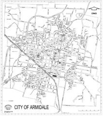
City Of Armidale Map
Large road map clearly marking streets throughout this wonderful city.
386 miles away
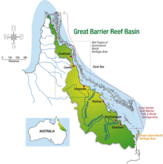
Great Barrier Reef Basin Map
406 miles away
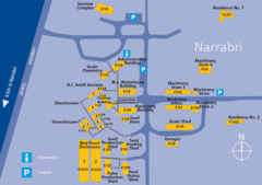
The University of Sydney, Narrabri Campus Map
416 miles away
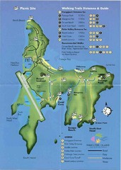
Hamilton Island Tourist Map
430 miles away
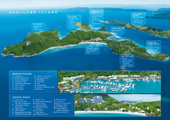
Hamilton Island, Australia Map
431 miles away

Port Macquarie Map
435 miles away

