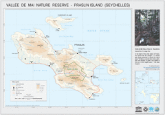
Vallee de Mai nature Reserve Map
2609 miles away
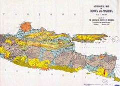
Geological Indonesia Map
Djawa and Madura
2624 miles away
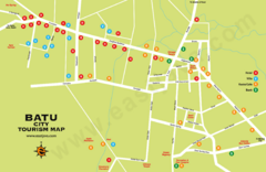
Batu City Map
2628 miles away
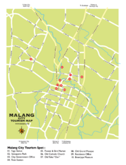
Malang City Tourism Map
Tourist map of Malang City, Indonesia. Shows points of interest.
2628 miles away
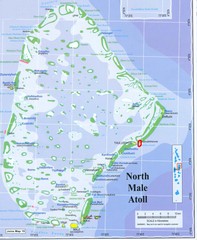
North Male Atoll Map
2637 miles away
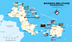
Bangka-Belitung Tourist Map
Places of interest. Indonesia.
2655 miles away
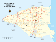
Sidoarjo Tourist Map
Tourist/road map of Sidoarjo Regency in Indonesia
2658 miles away
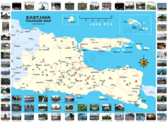
East Java Tourism Map
Tourist map of East Java, Indonesia. Shows photos of points of interest.
2658 miles away

1897 Soerabaja Map
An historical Indonesian map
2667 miles away
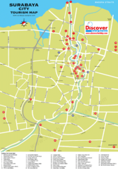
Surabaya Tourist Map
Tourist map of Surabaya, Indonesia
2668 miles away
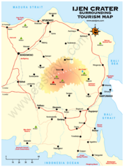
Ijen Crater Tourist Map
Tourist map of Ijen Crater and surrounding area on East Java, Indonesia
2690 miles away
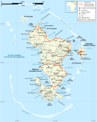
Mayotte Map
Guide to the country of Mayotte, an overseas collectivity of France
2703 miles away
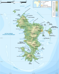
Mayotte Topographic Map
Guide to the island nation of Mayotte
2703 miles away
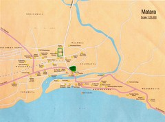
Matara City Map
City map of Matara, Sri lanka.
2705 miles away

Mayotte tourism Map
2707 miles away
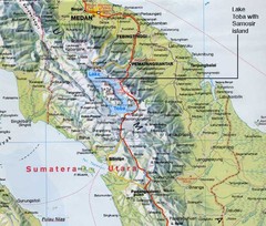
Samosir island Lake Toba, Sumatra Map
The 4th largest island on a lake
2709 miles away
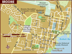
Broome, Australia City Map
2711 miles away

Baa atoll Map
2712 miles away
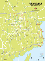
Denpasar Tourist Map
Shows city of Denpasar and Sanur Beach.
2720 miles away
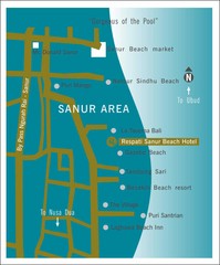
Sanur Tourist Map
2721 miles away
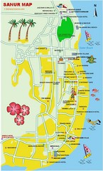
Sanur Guide Map
Main attractions for sightseers in Sanur
2721 miles away
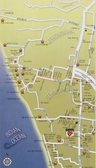
South West Bali Tourist Map
Places of interest.
2723 miles away
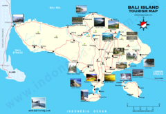
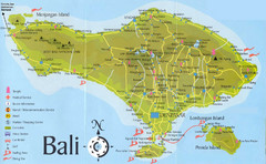
Bali Tourist Map
Tourist map of island of Bali, Indonesia. Shows photos of points of interest.
2723 miles away
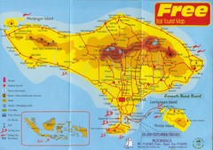
Bali Tourist Map
Tourist map of island of Bali. Shows points of interest. Scanned.
2723 miles away
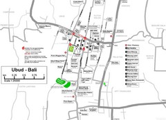
Ubud Tourist Map
Shows points of interest in town of Ubud, Bali
2729 miles away
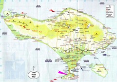
Bali Tourist Map
2731 miles away
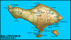
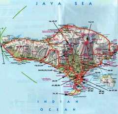
Bali Map
Map of Bail showing cities, roads, parks and elevations.
2731 miles away
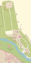
Kataragama Sacred City Map
City map of sacred sites of Kataragama, Sri Lanka
2736 miles away
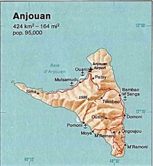
Anjouan Island topography Map
2766 miles away
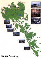
Barelang Bridge Map
Shows ferry terminals, airport, and chain of 6 bridges (with photos) known as the Barelang Bridge...
2767 miles away
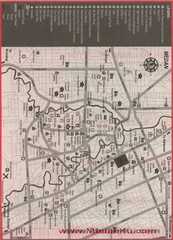
Polonia Airport Map
2768 miles away
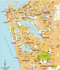
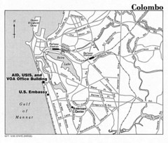
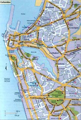
Colombo City Map
This is the Map of Inner Colombo City for Tourist reference ModernVoyages
2774 miles away
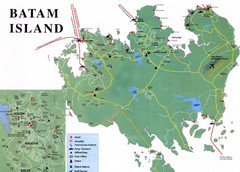
Batam Tourist Map
Tourist map of Batam island, Indonesia. Shows all ferry terminals, airport, and other useful info...
2774 miles away

Comoros Islands Map
2778 miles away
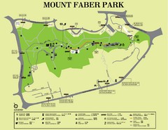
Mount Faber Park Map
Guide to Mount Faber Park in Singapore
2779 miles away
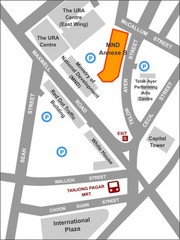
IP Academy Location Map
2780 miles away

