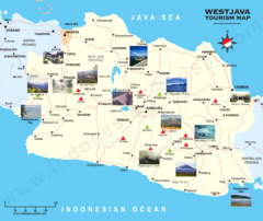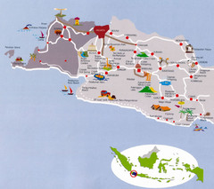
West Java Indonesia Tourist Map
Pictorial tourist Map of West Java, Indonesia also showing roads and cities.
2439 miles away

West Java map
2442 miles away
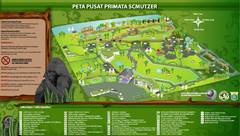
The Schmutzer Primate Center Map
Pusat Primata Schmutzer (Established 2002). Mission: To promote conservation of Indonesian primates...
2454 miles away
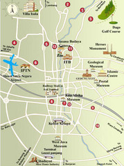
Bandung Tourist Map
City center tourist map of local attractions
2454 miles away
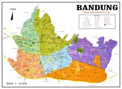
Bandung City Map
Shows regions of city of Bandung, Indonesia, with the highest population in Indonesia (2.3 mill).
2454 miles away
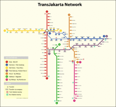
Jakarta Bus System Map
2460 miles away
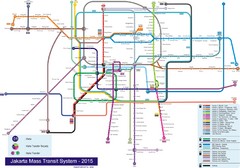
Jakarta Bus System Map
2460 miles away
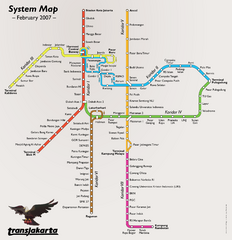
Jakarta Bus System Map
2460 miles away
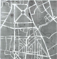
Jakarta City Center Map
Street map of city center
2460 miles away

Lembang Tourism Map
2460 miles away
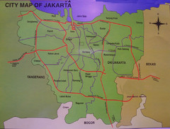
Jakarta City Map
City map of Jakarta, Indonesia. Shows major roads.
2461 miles away
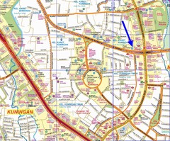
South of Jakarta Map
2461 miles away
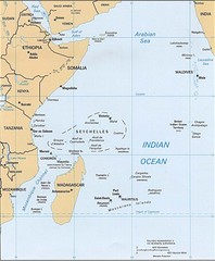
Indian Ocean Islands Map
Guide to the islands and atolls of the Indian Ocean
2476 miles away
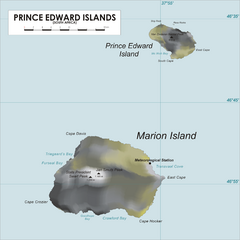
Prince Edward Island Map
Map of islands of South Africa
2481 miles away

Purwokerto City Map
2503 miles away
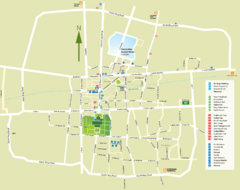
Yogyakarta Tourist Map
Locations and areas in Yogyakarta
2531 miles away
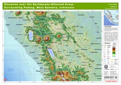
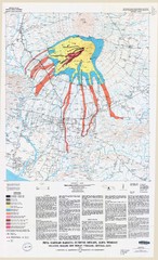
Elevation Over the Earthquake -Affected Areas of...
This map represents the range of elevation for the area affected by the 6.3 magnitude earthquake...
2531 miles away
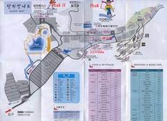
Muju Resort Guide Map
2535 miles away
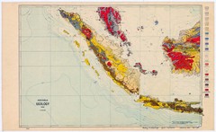
Indonesia Geology Map
Geologic map of Indonesia, 1932
2544 miles away
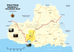
Pacitan Tourist Map
Tourist map of Pacitan, Indonesia
2550 miles away

Java Guide Map
2556 miles away
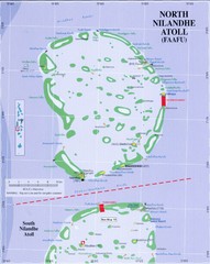
North Nilandu atoll Map
2571 miles away
Maldives Map
Detailed map of the Maldive Islands
2576 miles away
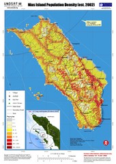
Nias Island Population Density Map
Density map for time of8.7 magnitude Earthquake March 28, 2005
2582 miles away
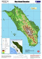
Nias Island Elevation and Earthquake Map
Elevation of Nias Island with details of March 2005 Earthquake.
2582 miles away

Kabupaten Tulungagung Map
2588 miles away
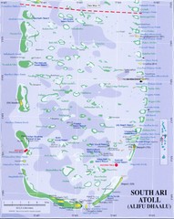
South Ari Atoll Map
2588 miles away
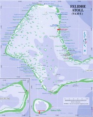
Felidhe atoll Map
2589 miles away
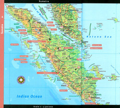
Sumatra Overview Map
Detailed map of island of Sumatra, Indonesia. Scanned.
2590 miles away

Maldives Overview Map
Overview map of the Maldives Islands in the Indian Ocean. Shows all atolls, towns/cities with...
2597 miles away

Seychelles Map
2599 miles away

Mahe Island Map
2601 miles away
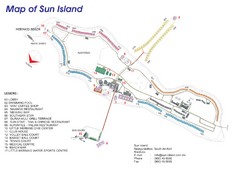
Sun Island Resort Map
Resort map of Sun Island in Nalaguraidhoo, Southern Ari Atoll, Maldives
2601 miles away
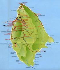
La Digue tourist Map
2602 miles away
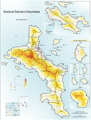
Seychelles Electoral Map
Shows electoral districts of the Seychelles Islands in the middle of the Indian Ocean.
2603 miles away
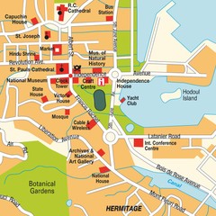
Port Victoria city Map
2603 miles away
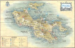
Praslin Island Map
Guide to the second largest island of the Seychelles
2607 miles away
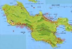
Grand Anse tourist Map
2609 miles away

