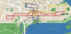
Perth, Australia Public Transportation Map
1977 miles away
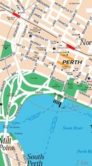
Central Perth, Australia City Map
1977 miles away
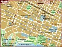
Perth, Australia City Map
1977 miles away
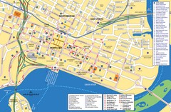
Perth Street Map
Tourist map of Perth, with detail of streets, hotels and tourist attractions
1978 miles away
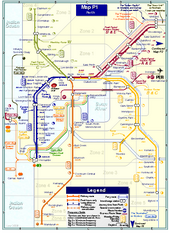
Perth Rail Map
Map of rail system throughout Perth and surrounding area
1978 miles away
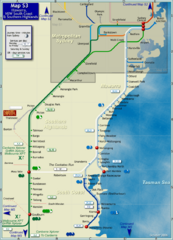
Illawarra Rail Map
Map of rail system throughout Illawarra, New South Wales South Coast, and Southern Highlands
1980 miles away
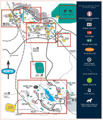
Whiteman Park Map
1984 miles away
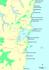
Illawarra, Australia Beach Tourist Map
1991 miles away

Denmark, Western Australia East District Guide Map
The eastern district of Denmark, Western Australia
2029 miles away

Denmark, Western Australia Guide Map
Locations and areas in Denmark, Western Australia
2029 miles away
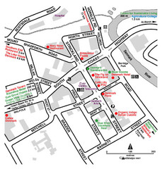
Denmark Western Australia Tourist Map
Tourist map of town of Denmark, Western Australia. Shows accommodations and restaurants.
2029 miles away

Indian Ocean Area Map
Countries highlighted were visited by Marco Polo.
2037 miles away
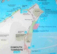
Exmouth, Australia Beach Map
2105 miles away

Bruce Rock Town Map
2110 miles away
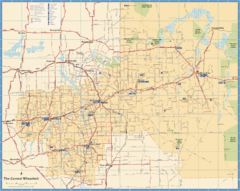
Wheatbelt Central Western Australia Map
Map of the central wheatbelt area near Merredin, Western Australia
2123 miles away

Western Australia State Barrier Fence Map
Map shows the Rabbit barrier fence built in 1901 in Burracoppin and Merredin just east of Perth.
2136 miles away
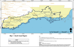
Australia South Coast Region Map
The South Coast region of Australia and proposed new boundaries by Natural Resources Management...
2155 miles away
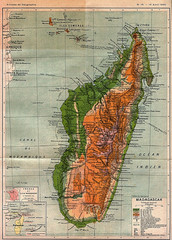
1895 Madagascar Map
Historic map of Madagascar
2164 miles away
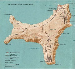
Christmas Island Tourist Map
2177 miles away

Christmas Island Map
2177 miles away

Christmas Island tourist Map
2178 miles away

Christmas Island Tourist Map
Christmas Island Tourist Map showing roads, hiking trails, park amenities.
2178 miles away
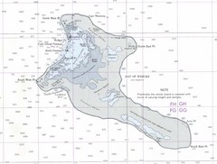
Kiritimati (Christmas) Island Tourist Map
2182 miles away
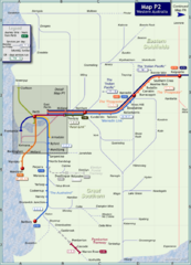
Western Australia Rail Map
Map of long-distance rail system throughout Western Australia
2229 miles away
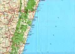
Antananarivo region Map
2271 miles away
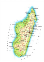
Madagascar Map
Guide to the African country of Madagascar
2293 miles away
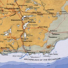
Esperance, Australia Tourist Map
A map of the Esperance region in Australia.
2297 miles away

Maldives Islands Map
2313 miles away
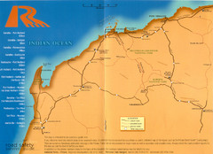
Karratha Road Map
Road Map shows all roads around Karratha, and the distances in Kilometers to other towns.
2318 miles away
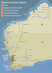
Western Australia Map
Map of Western Australia region with detail of districts
2333 miles away
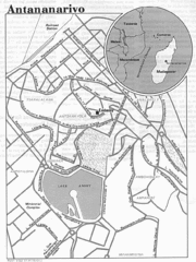
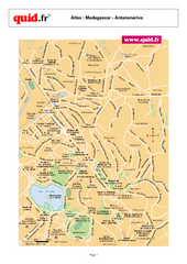
Antananarivo, Madagascar Tourist Map
2333 miles away
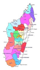
Madagascar regions Map
2354 miles away
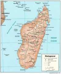
Madagascar Roads and Trains Map
Cities, roads and train lines.
2375 miles away
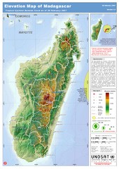
Madagascar Elevation Map
Shows color-coded elevation of island of Madagascar. Shows tropical cyclone Gamede track as of Feb...
2375 miles away

Madagascar land cover and elevation Map
2403 miles away
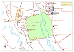
Central of Bogor City Map
Bogor is one of the main tourist destination in West Java which has been known since long ago for...
2437 miles away
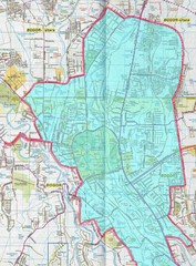
Bogor Map
2437 miles away
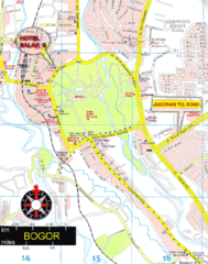
Bogor Map
2437 miles away


