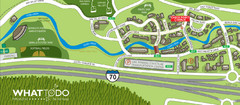
Vail Village Map
274 miles away
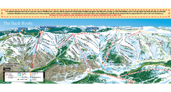
Vail Ski Trail map 2006-07
Ski trail map of Vail ski area for the 2006-2007 season. Shows all 3 sides of Vail: 1) Back Bowls...
274 miles away
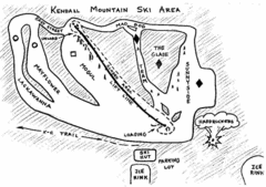
Kendall Mountain Ski Trail Map
Trail map from Kendall Mountain, which provides downhill and nordic skiing. It has 1 lift servicing...
274 miles away
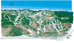
Vail Ski Trail Map
Trail map from Vail, which provides downhill and terrain park skiing. It has 32 lifts servicing 193...
275 miles away
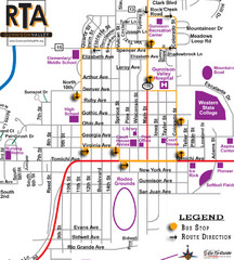
Gunnison RTA Bus Route Map
275 miles away
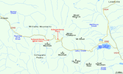
Independence Pass Area, Colorado Map
Basic map of the Independence Pass area near Aspen, Colorado. Independence Pass is the highest...
275 miles away
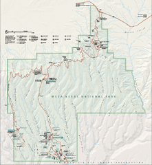
Mesa Verde National Park Official Park Map
Official NPS map of Mesa Verde National Park in Colorado. MESA VERDE NATIONAL PARK IS OPEN DAILY...
276 miles away
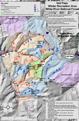
Vail Pass Area Recreation map
Recreation map of the area south of Vail Pass, Colorado. Shows trails and management areas.
276 miles away
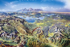
Yellowstone oblique Map
Oblique Panorama map of Yellowstone National Park
276 miles away
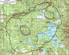
Yellowstone Lake Topographic Map
Topographic guide to Yellowstone Lake in Yellowstone National Park
277 miles away
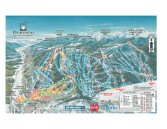
Durango Mountain Ski Trail Map
Official ski trail map of Durango Mountain Resort (formerly Purgatory) from 2003
277 miles away
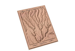
Mesa Verde carved by carvedmaps.com Map
Carved map of Mesa Verde in Colorado by carvedmaps.com
277 miles away
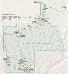
Mesa Verde National Park Official Park Map
Official NPS map of Mesa Verde National Park in Colorado. Mesa Verde National Park is open year...
277 miles away
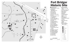
Fort Bridger State Historic Site Map
Established by Jim Bridger and Louis Vasquez in 1843 as an emigrant supply stop along the Oregon...
277 miles away
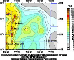
Seismic Hazard Map of Wyoming
Seismic Hazard map of probable earthquake activity for Wyoming.
277 miles away
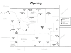
Wyoming Airports Map
277 miles away
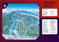
Antelope Butte Ski Area Ski Trail Map
Trail map from Antelope Butte Ski Area.
277 miles away
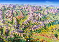
Ouray, Colorado area map
Regional artistic aerial view of the Ouray area and surrounding San Juan Mountains. Shows...
279 miles away
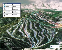
Snowy Range Ski Trail Map
Trail map from Snowy Range.
279 miles away
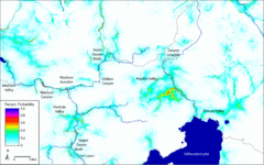
Bison Travel in Yellowstone National Park Map
General bison travel in Yellowstone National Forest, Wyoming
281 miles away
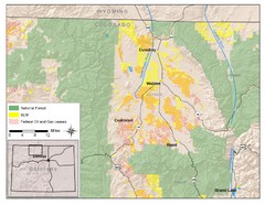
North Park Colorado Map
282 miles away
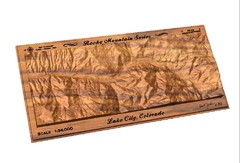
Lake City, CO carved by carvedmaps.com Map
Lake City, CO map carved by carvedmaps.com
282 miles away
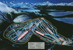
Ski Cooper Ski Trail Map
Trail map from Ski Cooper, which provides downhill and nordic skiing. It has 4 lifts servicing 26...
283 miles away
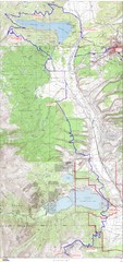
Leadville 100 Mountain Bike Race Map 2008
Race course for the 2008 Leadville 100 mountain bike race. Covers 100 miles.
285 miles away
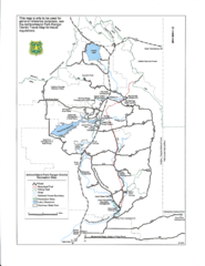
Ashton/Island Park Recreation Sites Map
286 miles away
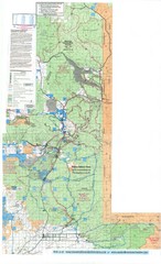
Island Park Idaho Area Snowmobile Map
286 miles away
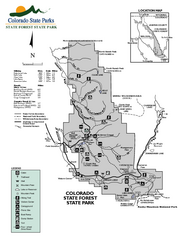
State Forest State Park Map
Map of park with detail of trails and recreation zones
287 miles away
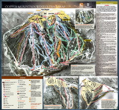
Copper Mountain Resort Ski Trail Map
Trail map from Copper Mountain Resort, which provides downhill and terrain park skiing. It has 21...
287 miles away

Copper Mountain Ski Trail map 2006-07
Official ski trail map of Copper ski area for the 2006-2007 season. This map shows the Front Side...
287 miles away
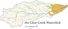
Clear Creek Watershed Map
288 miles away
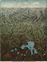
Fee’s map of Yellowstone National Park...
Charles S. Fee's map of Yellowstone in 1895.
288 miles away
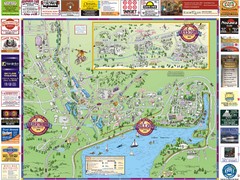
Summit County Resort Maps Map
Resort Maps of Summit County is the most widely distributed map in Frisco, Copper Mountain...
288 miles away
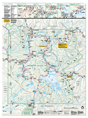
Yellowstone National Park official map
Official NPS map of Yellowstone National Park. Detail map of park with shaded relief. Established...
289 miles away
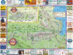
Frisco, CO Resort Map
Resort Maps of Summit County is the most widely distributed map in Frisco, Copper Mountain...
289 miles away
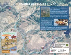
South Fork Boise River Map
Map of the South Fork of the Boise River from Anderson Ranch Dam to Neal Bridge. Premier wild...
290 miles away
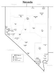
Nevada Airports Map
291 miles away
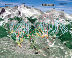
Breckenridge Ski Resort Ski Trail Map
Trail map from Breckenridge Ski Resort, which provides downhill, nordic, and terrain park skiing...
292 miles away
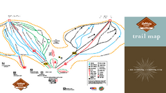
SolVista Basin at Granby Ranch Ski Trail Map
Trail map from SolVista Basin at Granby Ranch, which provides downhill and terrain park skiing. It...
292 miles away
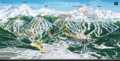
Breckenridge Ski Area Trail Map 2005-06
Official ski trail map of Breckenridge, 2005-06 season
292 miles away
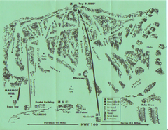
Hesperus Ski Area Ski Trail Map
Trail map from Hesperus Ski Area.
293 miles away

