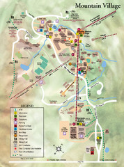
Mountain Village Tourist Map
Tourist map of Mountain Village, Colorado at the Telluride Ski Area.
260 miles away
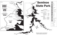
Seminoe State Park Map
Seminoe State Park offers excellent fishing, boating and wildlife-viewing opportunities.
261 miles away
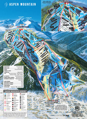
Aspen Mountain Ski Trail Map
Trail map from Aspen Mountain, which provides downhill skiing. It has 8 lifts servicing 76 runs...
261 miles away
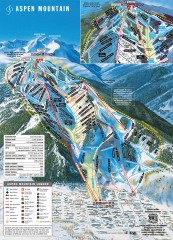
Aspen Mountain Ski Trail Map
Official ski trail map of Aspen ski area from the 2007-2008 season.
261 miles away
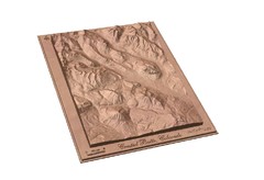
Carved Wooden Map of Crested Butte, Colorado by...
Crested Butte, CO Carved by CarvedMaps.com
261 miles away
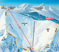
Telluride Revelation Bowl Ski Trail Map
Trail map from Telluride, which provides downhill, nordic, and terrain park skiing. It has 18 lifts...
262 miles away
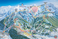
Telluride Ski Trail Map
Trail map from Telluride, which provides downhill, nordic, and terrain park skiing. It has 18 lifts...
262 miles away
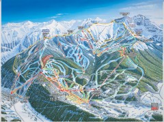
Telluride ski trail map
Official ski trail map of Telluride ski area from the 2006-2007 season.
262 miles away
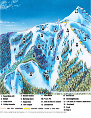
Crested Butte Mountain Resort Teocalli Bowl Ski...
Trail map from Crested Butte Mountain Resort, which provides downhill, nordic, and terrain park...
262 miles away
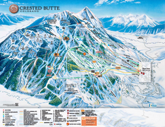
Crested Butte Mountain Resort Ski Trail Map
Trail map from Crested Butte Mountain Resort, which provides downhill, nordic, and terrain park...
262 miles away
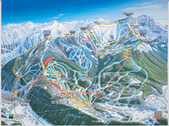
Telluride, Colorado Trail Map
262 miles away
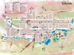
Telluride Town Map
262 miles away

Aspen, Colorado by Carvedmaps.com Map
Aspen, Colorado with surrounding ski area. Carved of wood by carvedmaps.com - Tom Justin artist
262 miles away
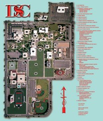
Dixie State College Campus Map
Campus Map
262 miles away
Glenns Ferry City Map
City map of Glenns Ferry, Idaho with information
262 miles away
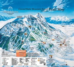
Crested Butte Mountain Resort Ski Trail Map
Official trail map of Crested Butte Mountain Resort, 2006-07 season.
262 miles away
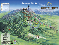
Crested Butte Mountain Resort Summer Trail Map
Official Crested Butte Mountain Resort summer trail map. Created by James Niehues.
262 miles away
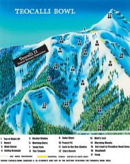
Crested Butte Mountain Resort Ski map - Teocalli...
Inset of the official Crested Butte trail map showing the experts-only Teocalli Bowl.
263 miles away
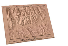
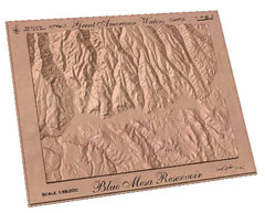
Blue Mesa Reservoir by Carvedmaps.com Map
Blue Mesa Reservoir carved by carvedmaps.com - Tom Justin artist
265 miles away

Eagle River Valley Resort Maps Map
Resort Maps of Eagle River Valley is the most popular and widely distributed map of Minturn, Red...
265 miles away
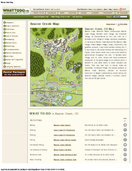
Beaver Creek Map
Beaver Creek Map, Beaver Creek Shopping Map, Beaver Creek Lodging Map, Activities, Restaurants...
266 miles away
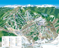
Beaver Creek Ski Trail Map
Official ski trail map of Beaver Creek ski area from the 2007-2008 season. Map also includes...
266 miles away
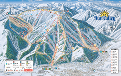
Sun Valley Ski Trail Map 2008
Ski trail map of Sun Valley ski area
266 miles away
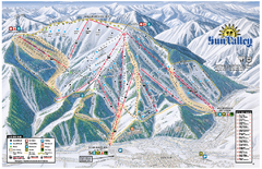
Sun Valley Ski Area Trail Map
Official ski trail map of Bald Mountain, the main mountain of Sun Valley ski area in Sun Valley...
267 miles away
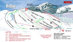
Sun Valley—Bald Mountain Ski Trail Map
Trail map from Sun Valley—Bald Mountain, which provides downhill, nordic, and terrain park skiing...
267 miles away
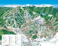
Beaver Creek Resort Ski Trail Map
Trail map from Beaver Creek Resort, which provides downhill and terrain park skiing. It has 16...
267 miles away
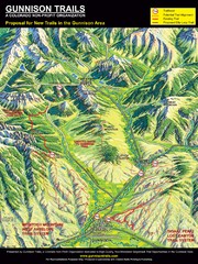
Gunnison Proposed Trails Map
Shows proposed trails from Gunnison, Colorado to Crested Butte, Colorado
269 miles away
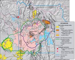
Yellowstone Geologic Map
Guide to geology, volcanic and earthquake activity and caldera outlines in Yellowstone National Park
269 miles away
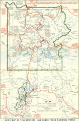
1929 Yellowstone and Grand Teton National Parks...
Map of older smaller boundaries of both national parks
270 miles away
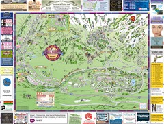
Minturn Map
271 miles away
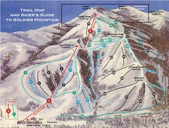
Soldier Mountain Ski Trail Map
Trail map from Soldier Mountain, which provides downhill and terrain park skiing. It has 3 lifts...
272 miles away
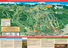
Vail Mountain resort Summer Adventure Map
Map of all hiking and mountain biking trails maintained by Vail Mountain Resort
273 miles away
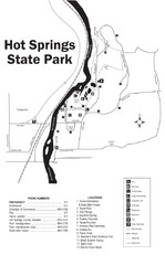
Hot Springs State Park Map
Enjoy our soothing waters, views of the unforgettable bison and some of the loveliest flower...
273 miles away
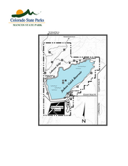
Mancos State Park Map
Map of park with detail of recreation zones
273 miles away
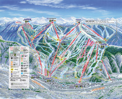
Vail Map
Map of Vail with ski locations and lifts included
273 miles away
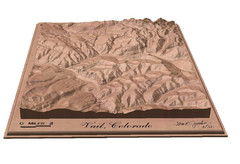
Vail, Colorado carved by carvedmaps.com Map
273 miles away
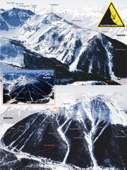
Silverton Ski Trail Map
Ski trail map of Silverton Mountain in Silverton, Colorado. Lift-serviced backcountry conditions...
274 miles away

