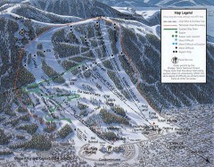
Snow King Ski Trail Map
Official ski trail map of Snow King ski area
208 miles away
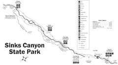
Sinks Canyon State Park Map
Sinks Canyon State Park offers hiking trails, abundant wildlife viewing, bird-watching, fishing...
208 miles away
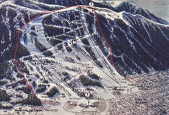
Snow King Ski Area Ski Trail Map
Trail map from Snow King Ski Area.
208 miles away
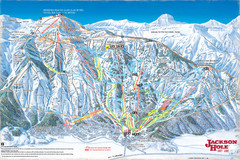
Jackson Hole Trail Map
208 miles away
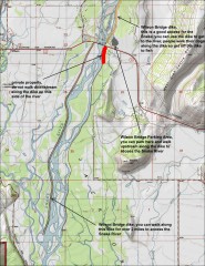
Wilson Bridge Fishing map
Shows access points to the Snake River from the Wilson Bridge area. From jackdennis.com: "...
209 miles away
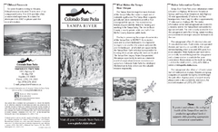
Yampa River State Park Map
Map of park with detail of recreation zones
209 miles away
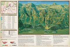
Jackson Hole Summer Mountain Map
209 miles away
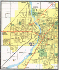
Idaho Falls, Idaho City Map
209 miles away
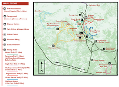
Kodachrome Basin State Park Map
Trail map of Kodachrome Basin State Park, Utah. Shows hiking trails and park facilities.
209 miles away
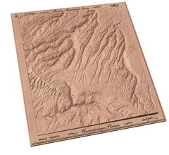
Uncompahgre Plateau by carvedmaps.com Map
Uncompahgre Plateau
209 miles away
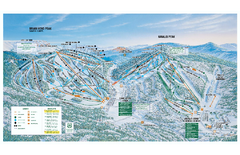
Brian Head Ski Trail Map
Official ski trail map of Brian Head ski area from the 2007-2008 season.
210 miles away
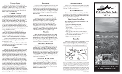
Vega State Park Map
Map of park with detail of recreation zones and campgrounds
212 miles away
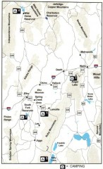
Camping in Elko County, Nevada Map
Map of camping opportunities in Elko County, Nevada, showing camp grounds, roads and towns.
212 miles away
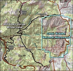
Topo Map of Ashdown Gorge Wilderness, including...
Cedar Breaks is similar to Bryce Canyon in many ways, but is more of an amphitheater than a canyon...
212 miles away
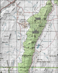
Ruby Mountains Wilderness Map
Overview map of Ruby Mountains Wilderness and Lamoille Canyon
213 miles away
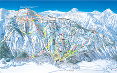
Jackson Hole Mountain Resort Ski Trail Map
Trail map from Jackson Hole Mountain Resort, which provides terrain park skiing. It has 12 lifts...
215 miles away
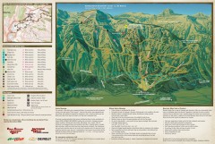
Jackson Hole Summer Mountain Biking/Hiking map
Jackson Hole summer mountain biking/hiking map. Covers 2500 acres (4 square miles).
215 miles away
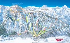
Jackson Hole Ski Trail Map
Official ski trail map of Jackson Hole ski area from the 2006-2007 season. Main Tram has been...
216 miles away
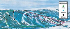
Kelly Canyon Ski Area Ski Trail Map
Trail map from Kelly Canyon Ski Area, which provides downhill, night, and terrain park skiing. It...
217 miles away
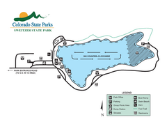
Sweitzer Lake State Park Map
Map of park with detail of recreation zones
218 miles away
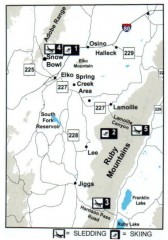
Skiing and Sledding in Elko County, Nevada Map
Map of skiing and sledding opportunities in Elko County, Nevada, showing skiing and sledding...
220 miles away
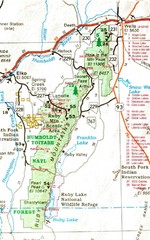
Ruby Mountains Area Map
Included are the communities of Elko, Wells, Deeth, Jiggs, Lee, Lamoille and Spring Creek. Some...
221 miles away

Continental Divide Map
223 miles away
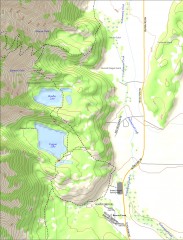
Bradley and Taggart Lake Hiking Map
Hiking map of Bradley Lake and Taggart Lake in Grand Teton National Park. A popular hike and good...
224 miles away

Glenwood Springs, CO carved by CarvedMaps.com Map
Glenwood Springs, Colorado carved by CarvedMaps.com Virtually anywhere within the US can be carved...
226 miles away
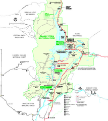
Grand Teton National Park Map - Summer
Official NPS summer map of Grand Teton National Park, Wyoming. The summer map includes all...
228 miles away
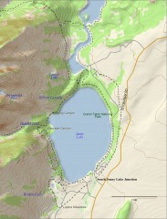
Jenny Lake Hiking Map
Shows hiking trails around Jenny Lake in Grand Teton National Park.
228 miles away

Grand Targhee Ski Trail Map
Official ski trail map of Grand Targhee ski area from the 2007-2008 season.
229 miles away
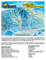
Sunlight Mountain Resort Ski Trail Map
Trail map from Sunlight Mountain Resort, which provides downhill, nordic, and terrain park skiing...
229 miles away
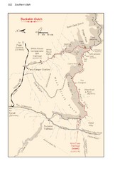
Buckskin Gulch Trail Map
Guide to Buckskin Gulch, the longest slot canyon in the US
231 miles away
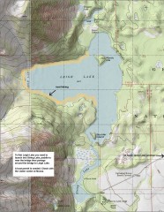
Leigh Lake Fishing Map
Fishing map of Leigh Lake in Teton National Park. From jackdennis.com: "Leigh Lake is a...
231 miles away
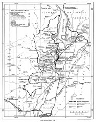
Grand Teton National Park, 1946 Map
232 miles away
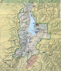
Grand Teton National Park Map
232 miles away
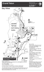
Grand Teton National Park Day Hikes Map
Shows suggested hikes and safety recommendations for day hikes in Grand Teton National Park, WY...
232 miles away
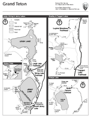
Grand Teton National Park Lakeshore Hiking Map
Shows scenic hikes around lakes such as Phelps, Jenny, Leigh and Taggart in Grand Teton National...
233 miles away
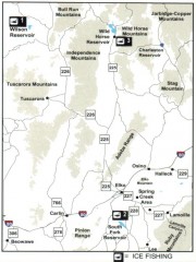
Icefishing Map, Elko County, Nevada
Map of ice fishing locations in Elko County, NV. Shows reservoirs, roads and towns.
233 miles away
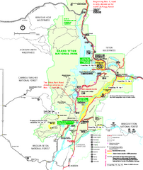
Grand Teton National Park Map - Winter
Official NPS winter map of Grand Teton National Park, Wyoming. The winter park map details winter...
233 miles away
Grand Tetons by Carvedmaps.com Map
Grand Tetons including Teton Villiage and Jenny Lake by carvedmaps.com
233 miles away
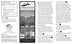
Steamboat Lake State Park Map
Map of park with detail of recreation zones
234 miles away
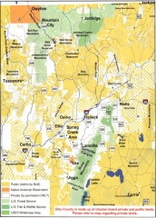
Land Use Map of Elko County, Nevada
Land use map of Elko County, Nevada. Shows lands classified as public or private, and owners of...
235 miles away

