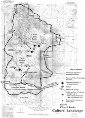
Sites of Cultural Importance, City of Rocks Area...
161 miles away
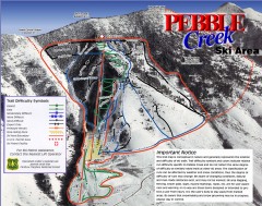
Pebble Creek Ski Trail Map
Official ski trail map of Pebble Creek ski area
161 miles away
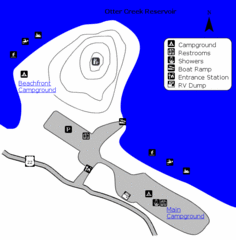
Otter Creek Reservoir Map
This quiet getaway is a great destination for ATV riders, boaters, and birders. Access three ATV...
162 miles away
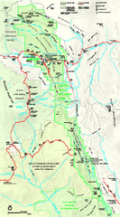
Capitol Reef National Park Official Map
Official NPS map of Capitol Reef National Park in Utah. Map shows all areas. The park and...
163 miles away
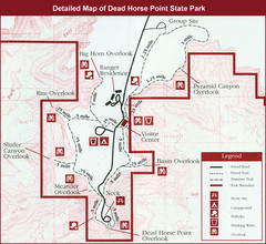
Dead Horse Point State Park Map
165 miles away
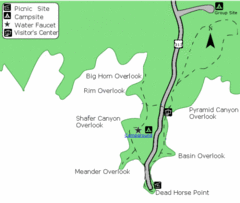
Dead Horse Point State Park Map
Stroll along the Rim Walk, towering 2,000 feet directly above the Colorado River. The mesa that is...
165 miles away
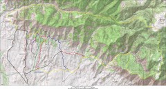
Fruita 18 Road Trail Map
Mountain biking trail map of the 18 Road area in Fruita, CO including Chutes & Ladders, Zipity...
165 miles away
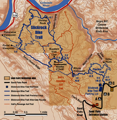
Slickrock Trail Map
Trail map of the famous Slickrock mountain biking trail in Moab, Utah. Trail distances shown. 10...
166 miles away
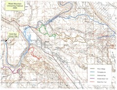
Moab Mountain Unicycling Festival Trail Map
Moab Area Topo Map with trails marked for festival
167 miles away
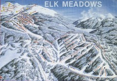
Elk Meadows Resort Ski Trail Map
Trail map from Elk Meadows Resort.
168 miles away
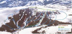
Pomerelle Ski Area Ski Trail Map
Trail map from Pomerelle Ski Area, which provides downhill, night, and terrain park skiing. It has...
169 miles away
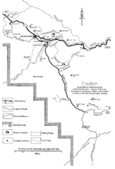
Capitol Reef Trail Map
Hiking trails near Fruita, Colorado
171 miles away
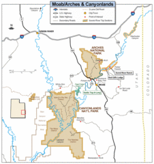
Canyonlands National Park Map
Clear map and key marking cities, rivers, highways and points of interest.
176 miles away
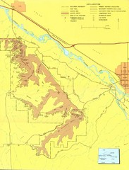
Colorado National Monument Map
Map of Colorado National Monument and surrounding areas.
176 miles away
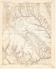
Topo Map of Escalante Quadrant, UT circa 1886
One of four USGS maps detailing the area around Capitol Reef National Park and Glen Canyon circa...
177 miles away
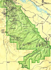
Colorado National Monument Map
177 miles away
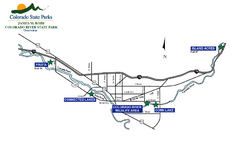
James M Robb Colorado River State Park Map
Overview map of park along lake
177 miles away
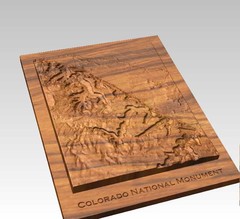
Colorado National Monument carved by CarvedMaps...
Colorado National Monument near Grand Junction, CO. was carved by CarvedMaps.com They can carve...
177 miles away
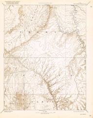
Topo Map of San Rafael Quadrant circa 1885
This is one of four USGS maps from the 1880's and 90's depicting the area around the...
180 miles away
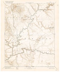
Henry Mtns Topo Map, circa 1892
One of a set of four maps circa 1890s by USGS depicting the area around the Henry Mtns and Capitol...
180 miles away
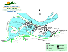
Connected Lakes State Park Map
Map of connected lakes section of the James M Robb Colorado River State Park
180 miles away
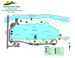
Corn Lake State Park Map
Map of corn lake section of the James M Robb Colorado River State Park
181 miles away
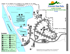
Fruita Area State Park Map
Map of fruita section of the James M Robb Colorado River State Park
181 miles away
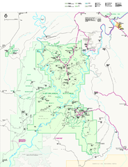
Canyonlands National Park Official Park Map
Official NPS map of Canyonlands National Park. Located in Utah. Map shows all areas but does not...
181 miles away
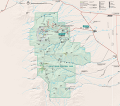
Great Basin National Park Map
182 miles away
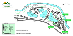
Island Acres State Park Map
Map of island acres section of the James M Robb Colorado River State Park
183 miles away
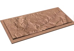
Gateway, Colorado carved by CarvedMaps.com Map
CarvedMaps.com carved this beautiful wood map of the Gateway area in SW Colorado. This company...
183 miles away
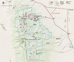
Great Basin National Park Map
Official NPS park map of Great Basin National Park. Shows all roads, trails, and facilities...
188 miles away
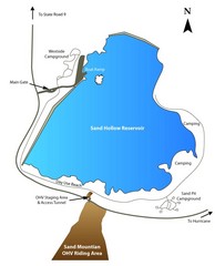
Sand Hollow State Park Map
With its warm, blue waters and red sandstone landscape, Utah's newest state park is also one...
189 miles away
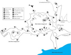
Escalante Petrified Forest State Park Map
Escalante Petrified Forest State Park is located in beautiful southern Utah, just 44 miles east of...
189 miles away
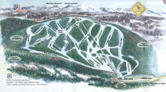
White Pine Ski Area Ski Trail Map
Trail map from White Pine Ski Area.
191 miles away

Metropolis Nevada Ghost Town Map
197 miles away
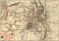
Denver and Rio Grande and Rio Grande Western...
Shows the Denver & Rio Grande and Rio Grande Western railroad system map circa 1904
199 miles away
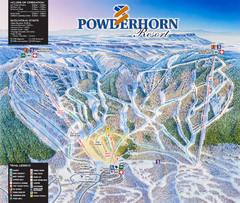
Powderhorn Resort Ski Trail Map
Trail map from Powderhorn Resort, which provides downhill and terrain park skiing. It has 4 lifts...
200 miles away
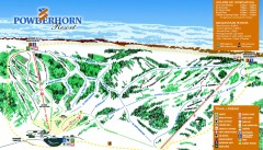
Powderhorn Ski Trail Map
Official ski trail map of Powderhorn Resort ski area from the 2007-2008 season.
200 miles away
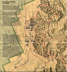
Brycec Canyon National Park Map
202 miles away

Bryce Canyon Official Park Map
Official NPS map of Bryce Canyon National Park in Utah. Map shows all areas. The park is open 24...
203 miles away
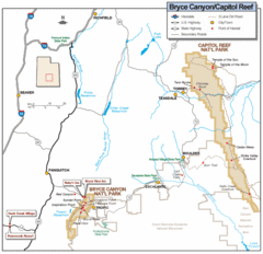
Bryce Canyon National Park Map
Roads, highways, rivers and points of interest are clearly marked on this simple map.
206 miles away
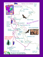
Bryce Canyon National Park Trails Map
206 miles away

Bryce Canyon National Park Map
206 miles away

