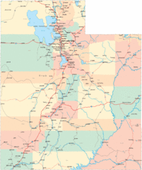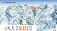
Powder Mountain Ski Trail Map
Official ski trail map of Powder Mountain ski area from the 2007-2008 season.
63 miles away
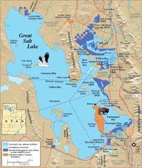
Great Salt Lake Map
64 miles away
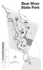
Bear River State Park Map
65 miles away
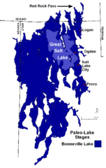
Lake Bonneville Levels Map
67 miles away
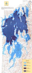
Ancient Lake Bonneville Map
67 miles away
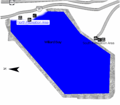
Willard Bay State Park Map
Boat, swim, waterski, and fish on the warm waters of Willard Bay. Camp under tall cottonwood trees...
67 miles away
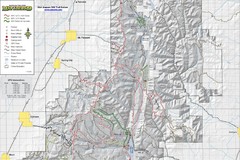
Utah Arapeen OHV Trail System- North Map
The Utah Arapeen OHV Trail System located in near the Towns of Fairview, Ephraim, and Mant, Utah.
77 miles away
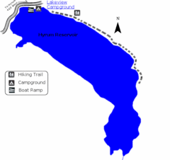
Hyrum State Park Map
Tucked away in Cache County, Hyrum State Park offers many recreation opportunities including...
80 miles away
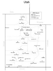
Utah Airports Map
84 miles away
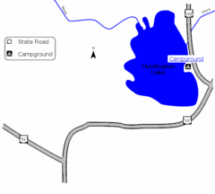
Huntington Lake State Park Map
Take a hike around this beautiful lake.
84 miles away
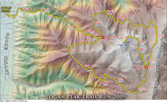
Logan Peak Trail Run Map 2009
Trail run map of the Logan Peak Trail Run 2009 course.
85 miles away
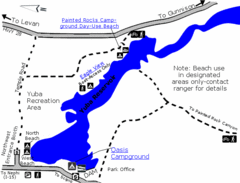
Yuba State Park Map
The sprawling waters of Yuba State Park provide a variety of recreation opportunities for visitors...
86 miles away
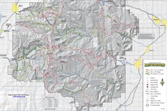
Utha Arapeen OHV Trail System- South Map
Utah Arapeen OHV Trail System map. Located near the towns of Fairview, Ephraim, and Manti, Utah.
91 miles away
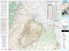
San Rafael, Utah Trail Map
Trails and main roads near Manti-LaSal National Forest and Castle Dale in Emery County, Utah
92 miles away
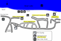
Rendezvous Beach Map
Bear Lake State Park is nestled high in the Rocky Mountains on the Utah-Idaho border. The cool...
93 miles away

Golden Spike National Monument Map
96 miles away

Utah Dinosaur Country Map
97 miles away
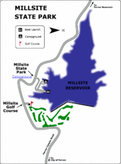
Millsite State Park Map
Camp in the quiet campground, and boat and fish on the blue waters of Millsite Reservoir. Play 18...
98 miles away
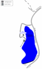
Steinaker State Park Map
Fish for rainbow trout and largemouth bass, and enjoy sandy beaches, swim, boat, and waterski at...
99 miles away
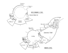
Utah Field House of Natural History Map
So much time is revealed here, even more geologic time than in the Grand Canyon. Within an 80-mile...
100 miles away

Beaver Mountain Ski Area Ski Trail Map
Trail map from Beaver Mountain Ski Area.
101 miles away
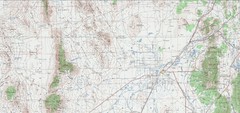
Delta Quad Sheet Detail 1972 Map
103 miles away
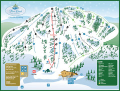
Pine Creek Ski Area Ski Trail Map
Trail map from Pine Creek Ski Area.
114 miles away

Bonneville Salt Flats International Speedway Map
119 miles away
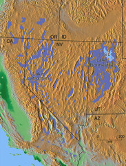
Pleisocene Lakes of western U.S. Map
122 miles away
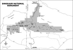
Dinosaur National Monument Map
132 miles away
Montpelier Ranger District East Map
Map for Summer Encampment trip to Montpelier, Wyoming for Idaho Company, American Long Rifle...
132 miles away
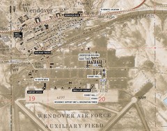
Wendover Air Base Map
138 miles away
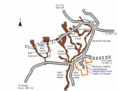
Goblin Valley State Park Map
The vast landscape of sandstone goblins may have visitors wondering if they're in Mars or Utah...
141 miles away
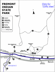
Fremont Indian State Park Map
Discover artifacts, petroglyphs, and pictographs left behind by the Fremont Indians. During...
142 miles away
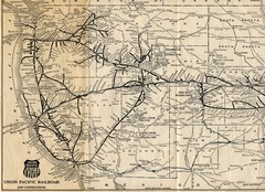
1925 Union Pacific Railroad Map Part 1
Guide to the Union Pacific railroad lines across the western half of the United States
149 miles away
Caribou-Targhee Park map
152 miles away
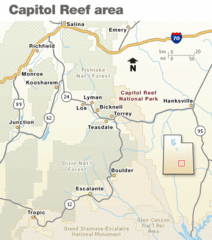
Capitol Reef National Park Map
Clear map marking major highways and cities.
153 miles away

Arches National Park Map
158 miles away
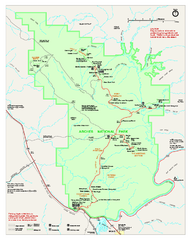
Arches National Park Official map
Official NPS park map of Arches National Park. Shows trails, roads, and all park facilities.
159 miles away
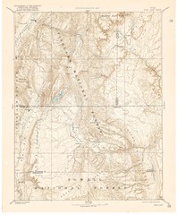
Topo Map of Capitol Reef Region (Fish Lake Quad...
This is one of four USGS maps done by the Powell survey and depicting the area around Capitol Reef...
160 miles away
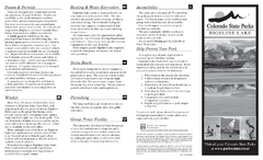
Highline Lake State Park Map
Map of park with detail of recreation areas
161 miles away
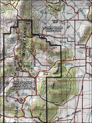
City of Rocks Topo Map
This topo map does not do justice to City of Rocks which is a wonderful reserve that is managed by...
161 miles away
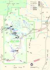
City of Rocks Park Map
This is the official Map for the reserve
161 miles away

