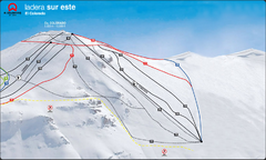
El Colorado-Farellones Ski Trail Map
Trail map from El Colorado-Farellones.
1288 miles away
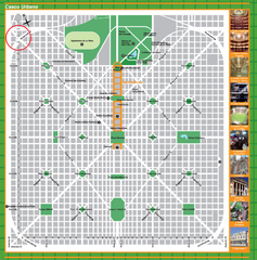
La Plata City Map
City map of La Plata, Argentina, the capital city of Buenos Aires province. Shows streets and...
1290 miles away
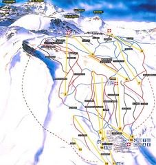
La Parva Ski Trail Map
Trail map from La Parva. This ski area has its own website.
1291 miles away
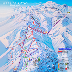
Valle Nevado Ski Trail Map
Trail map from Valle Nevado, which provides downhill and terrain park skiing. It has 11 lifts. This...
1292 miles away
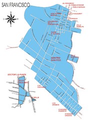
San Francisco Map
Street map of town
1296 miles away
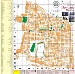
Santiago Center Map
Street map of city center
1304 miles away
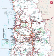
Central Chile Tourist Map
Provinces in Chile
1305 miles away
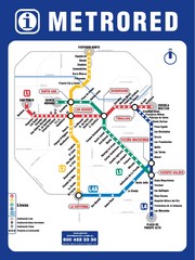
Santiago Chile Subway Map
Metro Red map for the Santiago, Chile Subway.
1305 miles away
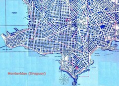
Montevideo Uruguay Map
1307 miles away
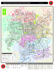
Santiago Bus and Metro Map
Shows bus routes and metro routes in Santiago, Chile. Shows the 10 areas of service in Santiago.
1307 miles away
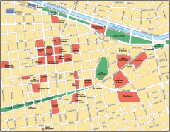
Central Santiago Street Map
Map of central Santiago, Chile
1308 miles away
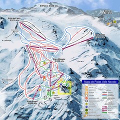
Valle Nevado Ski Resort Trail Map
Trail Map for Valle Nevado Ski Resort in Chile. Map includes lifts, mountain elevations and ski...
1308 miles away
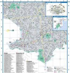
Montevideo Tourist Map
Street map of Montevideo, Uruguay. Shows museums, theaters, and monuments.
1311 miles away
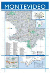
Montevideo Map
Detailed street map of Montevideo, Uruguay.
1311 miles away
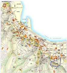
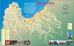
Valparaiso Tourist Map
Tourist map of central Valparaiso, Chile. Shows restaurants, bars, and other points of interest...
1312 miles away
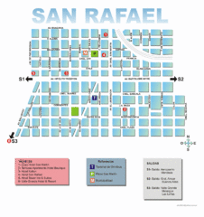
San Rafael Tourist Map
Tourist street map of city
1326 miles away
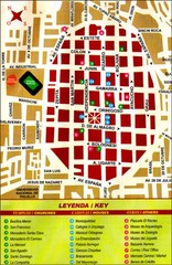
Trujillo Tourist Map
Tourist map of historical city center
1330 miles away
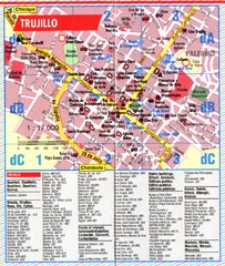
Trujillo Tourist Map
Tourist map of central Trujillo, Peru. Shows points of interest.
1330 miles away
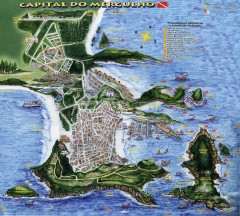
Arraial do Cabo Tourist Map
Tourist map of Arraial do Cabo, Brazil. Approx. 150 km from Rio de Janeiro. Hand-drawn panorama...
1332 miles away
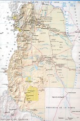
Mendoza Province Road Map
Road map of Mendoza Province in Agentina.
1332 miles away
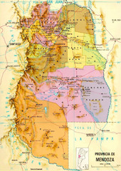
Mendoza Province Map
Province map of Mendoza, Argentina. Shaded by 18 municipalities.
1333 miles away
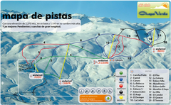
Chapa Verde Ski Trail Map
Trail map from Chapa Verde.
1337 miles away
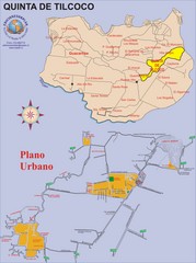
Quinta de Tilcoco Map
Street map of town
1372 miles away

